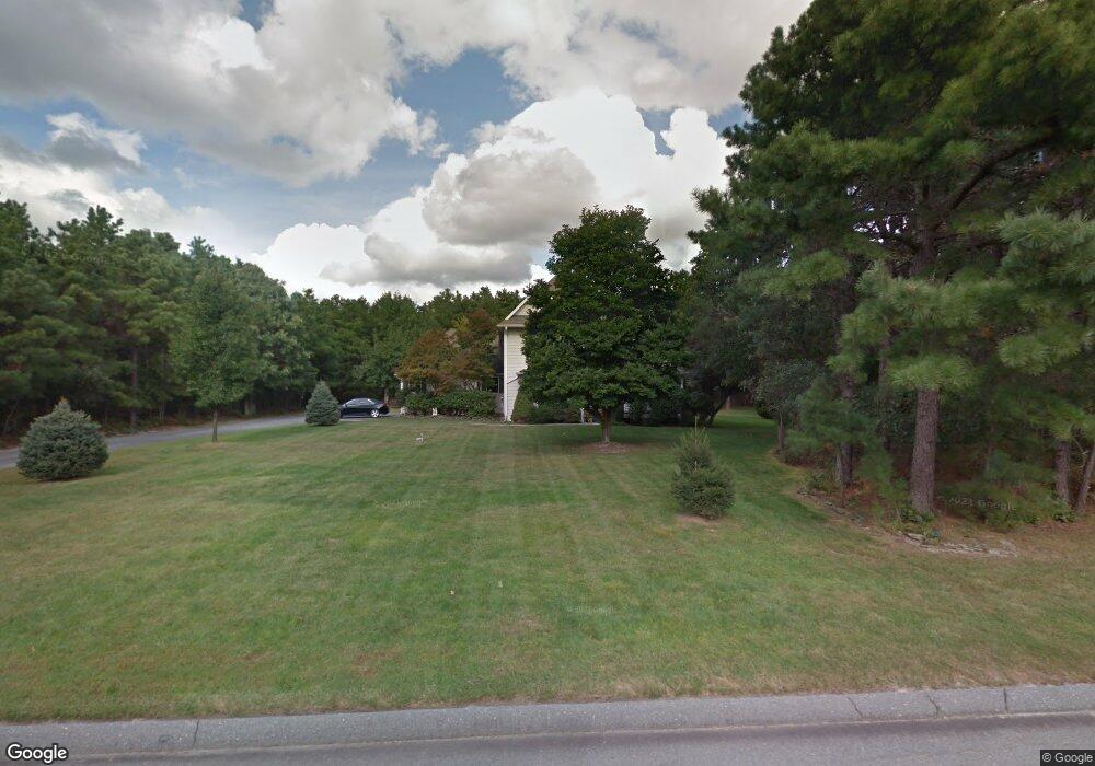
1521 Scranton Ave Whiting, NJ 08759
Manchester Township NeighborhoodEstimated Value: $627,061 - $772,000
4
Beds
3
Baths
4,976
Sq Ft
$142/Sq Ft
Est. Value
About This Home
This home is located at 1521 Scranton Ave, Whiting, NJ 08759 and is currently estimated at $704,265, approximately $141 per square foot. 1521 Scranton Ave is a home located in Ocean County with nearby schools including Manchester Township High School.
Ownership History
Date
Name
Owned For
Owner Type
Purchase Details
Closed on
May 24, 2002
Sold by
Walters William
Bought by
Lombardo Paul and Lombardo Judy
Current Estimated Value
Home Financials for this Owner
Home Financials are based on the most recent Mortgage that was taken out on this home.
Original Mortgage
$220,000
Outstanding Balance
$92,113
Interest Rate
6.81%
Estimated Equity
$612,152
Create a Home Valuation Report for This Property
The Home Valuation Report is an in-depth analysis detailing your home's value as well as a comparison with similar homes in the area
Home Values in the Area
Average Home Value in this Area
Purchase History
| Date | Buyer | Sale Price | Title Company |
|---|---|---|---|
| Lombardo Paul | $275,000 | -- |
Source: Public Records
Mortgage History
| Date | Status | Borrower | Loan Amount |
|---|---|---|---|
| Open | Lombardo Paul | $220,000 |
Source: Public Records
Tax History Compared to Growth
Tax History
| Year | Tax Paid | Tax Assessment Tax Assessment Total Assessment is a certain percentage of the fair market value that is determined by local assessors to be the total taxable value of land and additions on the property. | Land | Improvement |
|---|---|---|---|---|
| 2025 | $9,079 | $628,300 | $195,000 | $433,300 |
| 2024 | $8,616 | $369,800 | $85,000 | $284,800 |
| 2023 | $8,191 | $369,800 | $85,000 | $284,800 |
| 2022 | $8,191 | $369,800 | $85,000 | $284,800 |
| 2021 | $8,014 | $369,800 | $85,000 | $284,800 |
| 2020 | $7,803 | $369,800 | $85,000 | $284,800 |
| 2019 | $8,408 | $327,800 | $85,000 | $242,800 |
| 2018 | $8,375 | $327,800 | $85,000 | $242,800 |
| 2017 | $8,408 | $327,800 | $85,000 | $242,800 |
| 2016 | $8,306 | $327,800 | $85,000 | $242,800 |
| 2015 | $8,152 | $327,800 | $85,000 | $242,800 |
| 2014 | $7,985 | $327,800 | $85,000 | $242,800 |
Source: Public Records
Map
Nearby Homes
- 1561 Scranton Ave
- 1360 Zeppelin Ave
- 1901 Baltimore Ave
- 151 Adams St
- 1751 Chilvers Ave
- 1901 Chilvers Ave
- 1130 Monroe Ave
- 70 Norwalk Ave Unit 73
- 101 Buckingham Rd
- 22 Hummingbird Ln Unit 73
- 9 Apple Ln
- 85 Falmouth Ave Unit 72
- 11 Hartford Rd Unit 70
- 1 Chelsea Dr
- 23 Brentwood St Unit 73
- 81 Falmouth Ave Unit 72
- 81 Falmouth Ave
- 69 Chelsea Dr Unit 72
- 636 Petunia Ln S
- 519 Petunia La N
- 1501 Scranton Ave
- 1541 Scranton Ave
- 1520 Scranton Ave
- 1500 Scranton Ave
- 1481 Scranton Ave
- 2151 Jefferson Ave
- 1480 Scranton Ave
- 1901 Route 539
- 2200 Grant Ave
- 1461 Scranton Ave
- 1561 Zeppelin Ave
- 1521 Lincoln Blvd
- 1460 Scranton Ave
- 1501 Lincoln Blvd
- 2150 Grant Ave
- 1581 Zeppelin Ave
- 1460 Zeppelin Ave
- 1520 Zeppelin Ave
- 1540 Zeppelin Ave
- 1561 Lincoln Blvd