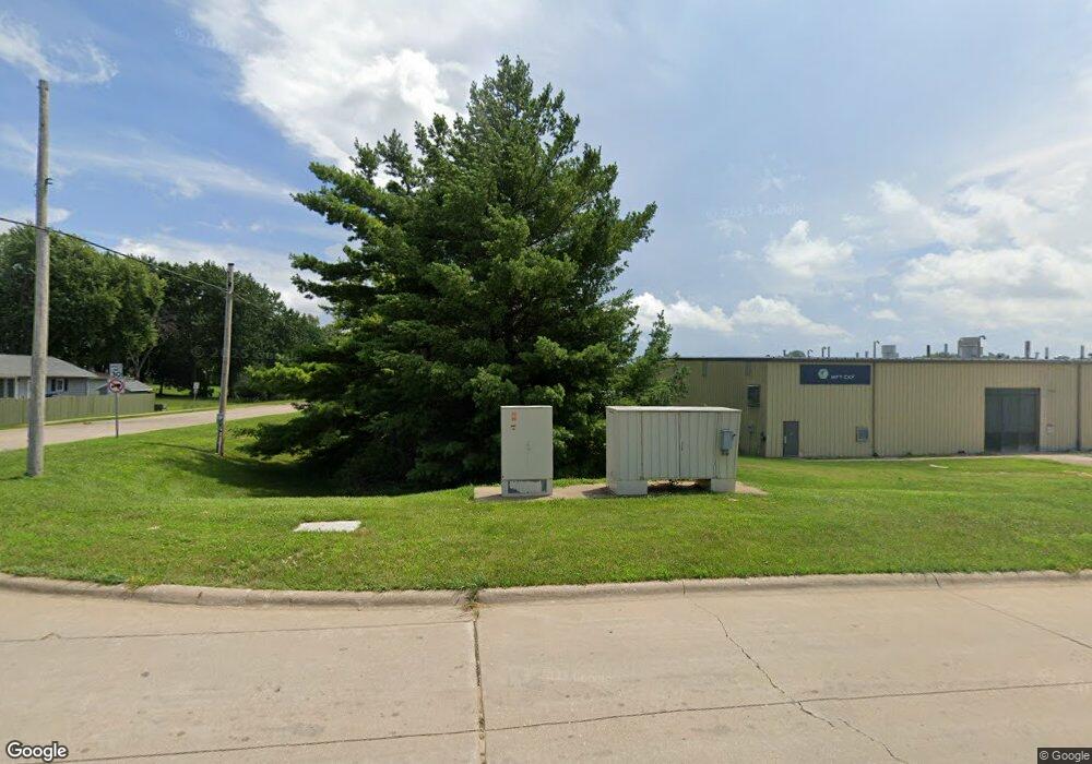
1521 Windsor Dr Clinton, IA 52732
Estimated Value: $216,000
--
Bed
--
Bath
30,000
Sq Ft
$7/Sq Ft
Est. Value
About This Home
This home is located at 1521 Windsor Dr, Clinton, IA 52732 and is currently priced at $216,000, approximately $7 per square foot. 1521 Windsor Dr is a home located in Clinton County with nearby schools including Whittier Elementary School, Clinton Middle School, and Clinton High School.
Ownership History
Date
Name
Owned For
Owner Type
Purchase Details
Closed on
Jul 27, 2022
Sold by
Ufp Ia Llc
Bought by
Moulded Fibre Technology Inc
Current Estimated Value
Purchase Details
Closed on
Dec 6, 2021
Sold by
Moulded Fibre Technology Inc
Bought by
Ufp Ia Llc
Purchase Details
Closed on
May 24, 2013
Sold by
Co Clinton Base Company Llc
Bought by
Co Moulded Fibre Technology Inc
Create a Home Valuation Report for This Property
The Home Valuation Report is an in-depth analysis detailing your home's value as well as a comparison with similar homes in the area
Home Values in the Area
Average Home Value in this Area
Purchase History
| Date | Buyer | Sale Price | Title Company |
|---|---|---|---|
| Moulded Fibre Technology Inc | $4,500,000 | Rogers Christina B | |
| Ufp Ia Llc | -- | Ruberto Israel & Weiner Pc | |
| Co Moulded Fibre Technology Inc | $1,723,000 | None Available |
Source: Public Records
Tax History Compared to Growth
Tax History
| Year | Tax Paid | Tax Assessment Tax Assessment Total Assessment is a certain percentage of the fair market value that is determined by local assessors to be the total taxable value of land and additions on the property. | Land | Improvement |
|---|---|---|---|---|
| 2025 | $110,808 | $3,202,990 | $193,250 | $3,009,740 |
| 2024 | $110,808 | $3,208,800 | $168,250 | $3,040,550 |
| 2023 | $111,736 | $3,208,800 | $168,250 | $3,040,550 |
| 2022 | $93,064 | $2,642,060 | $168,250 | $2,473,810 |
| 2021 | $94,702 | $2,642,060 | $168,250 | $2,473,810 |
| 2020 | $94,702 | $2,658,600 | $168,250 | $2,490,350 |
| 2019 | $100,180 | $2,658,600 | $0 | $0 |
| 2018 | $99,836 | $2,658,600 | $0 | $0 |
| 2017 | $99,836 | $2,658,600 | $0 | $0 |
| 2016 | $99,378 | $2,658,600 | $0 | $0 |
| 2015 | $99,378 | $2,658,600 | $0 | $0 |
| 2014 | $99,582 | $1,249,030 | $0 | $0 |
| 2013 | $49,890 | $0 | $0 | $0 |
Source: Public Records
Map
Nearby Homes
- 2340 Lafayette Terrace
- 1908 Circle Dr S
- 819 Millcrest Ct
- 1865 Harrison Dr
- 1836 Zara Trace
- 1830 Zara Trace
- 1824 Zara Trace
- 1818 Zara Trace
- 1825 5th Ave S
- 1907 Zara Trace
- 1915 Zara Trace
- 1921 Zara Trace
- 1933 Zara Trace
- 1626 25th Ave S
- 1813 Zara Trace St
- 1805 Zara Trace
- 1825 Zara Trace
- 1819 Zara Trace
- 1837 Zara Trace
- 1510 7th Ave S
- 1405 Windsor Ct
- 1409 Windsor Ct
- 1405 Windsor Ct
- 1407 Windsor Ct
- 2418 Harts Mill Rd
- 2418 Harts Mill Rd
- 1409 Windsor Dr
- 1420 Windsor Dr
- 1412 Windsor Dr
- 1400 Windsor Ct
- 1404 Windsor Ct
- 1301 Windsor Dr
- 2341 13th Ave S
- 2313 13th Ave S
- 2325 13th Ave S
- 2319 13th Ave S
- 2307 13th Ave S
- 2301 13th Ave S
- 2312 13th Ave S
- 2324 13th Ave S