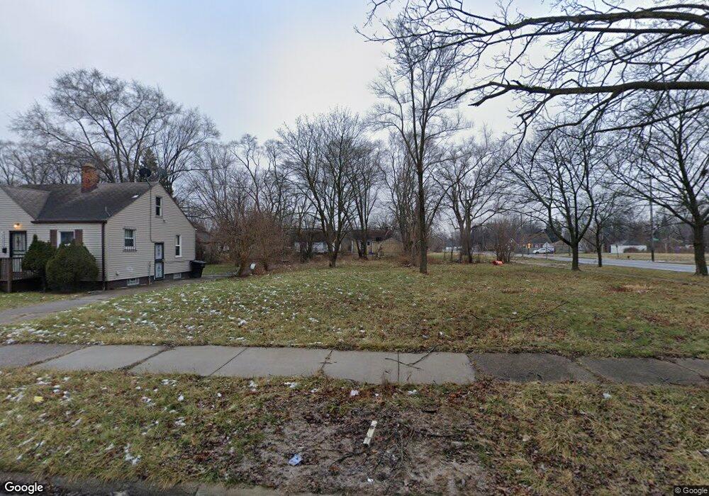
15210 Manning St Detroit, MI 48205
Regent Park NeighborhoodEstimated Value: $49,000
2
Beds
1
Bath
702
Sq Ft
$70/Sq Ft
Est. Value
About This Home
This home is located at 15210 Manning St, Detroit, MI 48205 and is currently estimated at $49,000, approximately $69 per square foot. 15210 Manning St is a home located in Wayne County with nearby schools including Edward 'Duke' Ellington Conservatory of Music and Art, Charles L. Spain Elementary-Middle School, and Denby High School.
Ownership History
Date
Name
Owned For
Owner Type
Purchase Details
Closed on
Jan 6, 2015
Sold by
Wayne County Treasurer
Bought by
Detroit Land Bank Authority
Current Estimated Value
Purchase Details
Closed on
Feb 16, 2011
Sold by
Secretary Of Housing & Urban Development
Bought by
Smith Arlene
Purchase Details
Closed on
Sep 9, 2010
Sold by
Citimortgage Inc
Bought by
The Secretary Of Housing & Urban Develop
Purchase Details
Closed on
Mar 3, 2010
Sold by
Massey Eddie R
Bought by
Citimortgage Inc
Purchase Details
Closed on
Jan 23, 1998
Sold by
Detroit Revitalization I
Bought by
Massey Eddie R
Purchase Details
Closed on
Aug 20, 1997
Sold by
H U D
Bought by
Detroit Revitalization Inc
Create a Home Valuation Report for This Property
The Home Valuation Report is an in-depth analysis detailing your home's value as well as a comparison with similar homes in the area
Home Values in the Area
Average Home Value in this Area
Purchase History
| Date | Buyer | Sale Price | Title Company |
|---|---|---|---|
| Detroit Land Bank Authority | -- | None Available | |
| Smith Arlene | $1,250 | None Available | |
| The Secretary Of Housing & Urban Develop | -- | None Available | |
| Citimortgage Inc | $35,472 | None Available | |
| Massey Eddie R | $36,000 | -- | |
| Detroit Revitalization Inc | $12,600 | -- |
Source: Public Records
Tax History Compared to Growth
Tax History
| Year | Tax Paid | Tax Assessment Tax Assessment Total Assessment is a certain percentage of the fair market value that is determined by local assessors to be the total taxable value of land and additions on the property. | Land | Improvement |
|---|---|---|---|---|
| 2025 | -- | $0 | $0 | $0 |
| 2024 | -- | $0 | $0 | $0 |
| 2023 | $0 | $0 | $0 | $0 |
| 2022 | $0 | $0 | $0 | $0 |
| 2021 | $0 | $0 | $0 | $0 |
| 2020 | $1,600 | $0 | $0 | $0 |
| 2019 | $1,600 | $0 | $0 | $0 |
| 2018 | $0 | $0 | $0 | $0 |
| 2017 | $1,000 | $0 | $0 | $0 |
| 2016 | $240 | $10,000 | $0 | $0 |
| 2015 | $1,000 | $10,000 | $0 | $0 |
| 2013 | $1,388 | $13,883 | $0 | $0 |
| 2010 | -- | $20,353 | $1,053 | $19,300 |
Source: Public Records
Map
Nearby Homes
- 15018 Tacoma St
- 14996 Tacoma St
- 14985 Tacoma St
- 15037 E State Fair St
- 15411 E State Fair St
- 14944 Manning St
- 14952 E State Fair Ave
- 15645 Liberal St
- 15219 Fairmount Dr
- 14931 Rossini Dr
- 15309 Fairmount Dr
- 15486 Fairmount Dr
- 14930 Fairmount Dr
- 15260 Eastburn St
- 14772 Tacoma St
- 15693 Liberal St
- 14788 Rossini Dr
- 15241 Eastburn St
- 15275 Eastburn St
- 15211 Eastburn St
- 15200 Manning St
- 15220 Manning St
- 15228 Manning St
- 15236 Manning St
- 15246 Manning St
- 15213 Liberal St
- 15219 Liberal St
- 15233 Liberal St
- 15051 Liberal St
- 15054 Manning St
- 15203 Liberal St
- 15211 Manning St
- 15235 Liberal St
- 15201 Manning St
- 15221 Manning St
- 15252 Manning St Unit Bldg-Unit
- 15252 Manning St
- 15229 Manning St
- 15046 Manning St
- 15245 Liberal St