15212 Star Rd Siloam Springs, AR 72761
Estimated Value: $361,000 - $825,964
--
Bed
1
Bath
2,796
Sq Ft
$225/Sq Ft
Est. Value
About This Home
This home is located at 15212 Star Rd, Siloam Springs, AR 72761 and is currently estimated at $628,491, approximately $224 per square foot. 15212 Star Rd is a home with nearby schools including Northside Elementary School, Delbert Pete & Pat Allen Elementary School, and Southside Elementary School.
Ownership History
Date
Name
Owned For
Owner Type
Purchase Details
Closed on
May 30, 2000
Bought by
Gleason Tr
Current Estimated Value
Purchase Details
Closed on
Apr 28, 2000
Bought by
Gleason
Purchase Details
Closed on
Apr 28, 1995
Bought by
Collette
Purchase Details
Closed on
Oct 24, 1994
Bought by
Brown Tr
Purchase Details
Closed on
Nov 18, 1993
Bought by
Don Juan Brown Dec'D 04 and Don 06
Create a Home Valuation Report for This Property
The Home Valuation Report is an in-depth analysis detailing your home's value as well as a comparison with similar homes in the area
Home Values in the Area
Average Home Value in this Area
Purchase History
| Date | Buyer | Sale Price | Title Company |
|---|---|---|---|
| Gleason Tr | -- | -- | |
| Re: Gleason Tr | -- | -- | |
| Gleason | $375,000 | -- | |
| Collette | $250,000 | -- | |
| Brown Tr | -- | -- | |
| Don Juan Brown Dec'D 04 | -- | -- |
Source: Public Records
Tax History Compared to Growth
Tax History
| Year | Tax Paid | Tax Assessment Tax Assessment Total Assessment is a certain percentage of the fair market value that is determined by local assessors to be the total taxable value of land and additions on the property. | Land | Improvement |
|---|---|---|---|---|
| 2025 | $3,525 | $121,652 | $16,149 | $105,503 |
| 2024 | $3,308 | $121,652 | $16,149 | $105,503 |
| 2023 | $3,007 | $78,470 | $9,650 | $68,820 |
| 2022 | $2,764 | $78,470 | $9,650 | $68,820 |
| 2021 | $2,134 | $78,470 | $9,650 | $68,820 |
| 2020 | $2,107 | $61,920 | $5,810 | $56,110 |
| 2019 | $2,107 | $61,920 | $5,810 | $56,110 |
| 2018 | $2,132 | $61,920 | $5,810 | $56,110 |
| 2017 | $2,132 | $61,920 | $5,810 | $56,110 |
| 2016 | $2,132 | $61,920 | $5,810 | $56,110 |
| 2015 | $2,414 | $46,330 | $2,340 | $43,990 |
| 2014 | $2,069 | $46,330 | $2,340 | $43,990 |
Source: Public Records
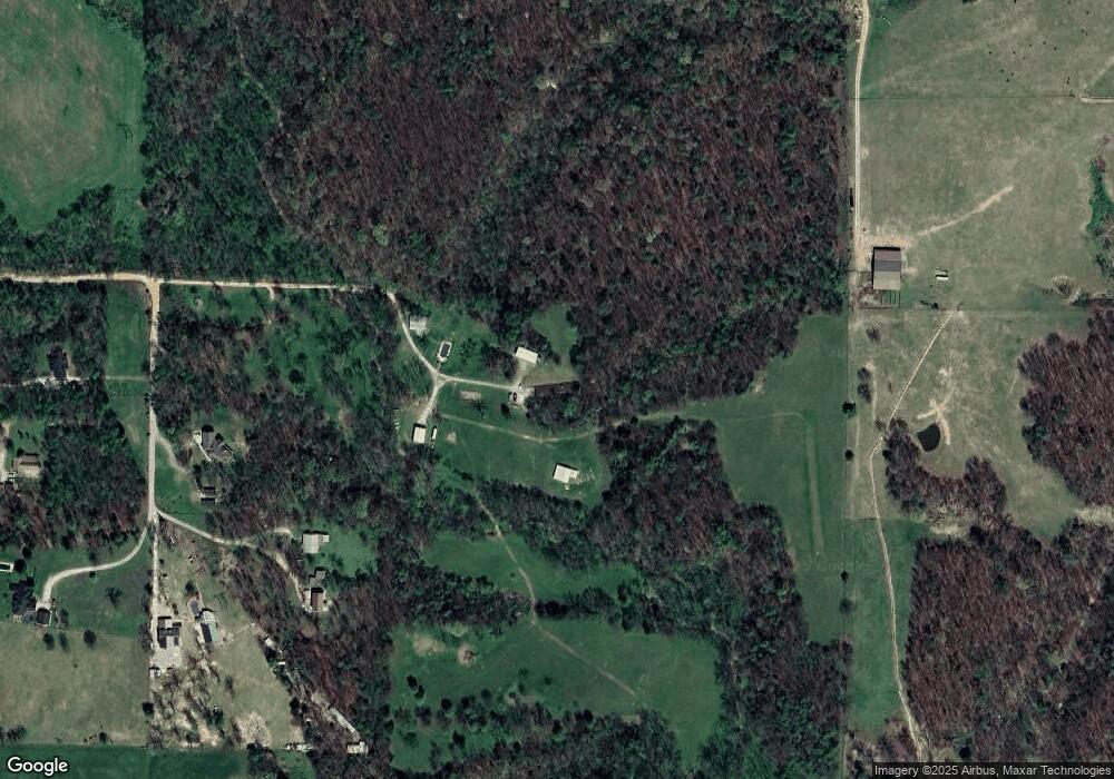
Map
Nearby Homes
- 3605 N Marian St
- 19100 Bill Young Rd
- 2.8 Acres Southern View
- 15564 Airport Rd
- 0 Bill Young Rd Unit 21090656
- 0 Bill Young Rd Unit 1323460
- 8006 David Dr
- 509 Carter Rd
- 7004 David Dr
- 6008 David Dr
- 0 E Sugarloaf St
- 16013 N Airport Rd
- 14987 S Highway 59
- 19372 Old Highway 68 E
- 0 Old Highway 68 Unit 25340983
- 19941 Edgewood Cir
- Tbd Pepper Hills Dr
- 0 O'Neal Rd
- 14209 Cayenne Cir
- 402 A W Cloud Dr
- 3502 N Marian St
- 3301 E Kenwood St
- 3603 N Marian St
- 3505 N Marian St
- 3601 N Marian St
- 3500 N Marian St
- 3503 N Marian St
- 3501 N Marian St
- 15224 Asher Ct
- 15212 Asher Ct
- 0 Star Rd Unit 499956
- 0 Star Rd Unit 1282171
- 0 Star Rd Unit 1251463
- 0 Star Rd Unit 1240877
- 0 Star Rd Unit 1006746
- 0 Star Rd Unit 1050790
- 0 Asher Ct Unit 1036576
- 0 Asher Ct Unit 1062605
- 15524 Asher Ct
- 15217 Asher Ct