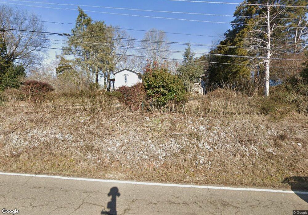
1522 Highway 139 Dandridge, TN 37725
Estimated Value: $354,443 - $489,000
--
Bed
--
Bath
1,528
Sq Ft
$279/Sq Ft
Est. Value
About This Home
This home is located at 1522 Highway 139, Dandridge, TN 37725 and is currently estimated at $426,361, approximately $279 per square foot. 1522 Highway 139 is a home.
Ownership History
Date
Name
Owned For
Owner Type
Purchase Details
Closed on
Jun 12, 2025
Sold by
Pomeroy Larry D and Pomeroy Wendy C
Bought by
Larry And Wendy Pomeroy Family Trust and Pomeroy
Current Estimated Value
Purchase Details
Closed on
Jun 27, 2005
Sold by
Bong Billy R
Bought by
Pomeroy Larry D
Home Financials for this Owner
Home Financials are based on the most recent Mortgage that was taken out on this home.
Original Mortgage
$148,000
Interest Rate
5.57%
Purchase Details
Closed on
Jun 18, 1999
Bought by
Long Billy R and Long Lois J
Purchase Details
Closed on
Dec 14, 1987
Bought by
Mcnamara Fred and Mcnamara Mary
Purchase Details
Closed on
Jun 3, 1966
Bought by
Conard Eunice G
Create a Home Valuation Report for This Property
The Home Valuation Report is an in-depth analysis detailing your home's value as well as a comparison with similar homes in the area
Home Values in the Area
Average Home Value in this Area
Purchase History
| Date | Buyer | Sale Price | Title Company |
|---|---|---|---|
| Larry And Wendy Pomeroy Family Trust | -- | None Listed On Document | |
| Larry And Wendy Pomeroy Family Trust | -- | None Listed On Document | |
| Larry And Wendy Pomeroy Family Trust | -- | None Listed On Document | |
| Pomeroy Larry D | $185,000 | -- | |
| Long Billy R | $120,000 | -- | |
| Mcnamara Fred | -- | -- | |
| Conard Eunice G | -- | -- |
Source: Public Records
Mortgage History
| Date | Status | Borrower | Loan Amount |
|---|---|---|---|
| Previous Owner | Conard Eunice G | $148,000 |
Source: Public Records
Tax History Compared to Growth
Tax History
| Year | Tax Paid | Tax Assessment Tax Assessment Total Assessment is a certain percentage of the fair market value that is determined by local assessors to be the total taxable value of land and additions on the property. | Land | Improvement |
|---|---|---|---|---|
| 2025 | $1,144 | $80,025 | $26,250 | $53,775 |
| 2023 | $1,099 | $47,800 | $0 | $0 |
| 2022 | $1,047 | $47,800 | $13,125 | $34,675 |
| 2021 | $1,047 | $47,800 | $13,125 | $34,675 |
| 2020 | $1,047 | $47,800 | $13,125 | $34,675 |
| 2019 | $1,047 | $47,800 | $13,125 | $34,675 |
| 2018 | $1,049 | $44,625 | $16,500 | $28,125 |
| 2017 | $1,049 | $44,625 | $16,500 | $28,125 |
| 2016 | $1,049 | $44,625 | $16,500 | $28,125 |
| 2015 | $1,049 | $44,625 | $16,500 | $28,125 |
| 2014 | $1,049 | $44,625 | $16,500 | $28,125 |
Source: Public Records
Map
Nearby Homes
- 838 Pinnacle Dr
- 1331 Highway 139
- 2169 Ranch Rd
- 522 Conley Trail
- 535 Conley Trail
- 2160 Ranch Rd
- 1283 Highway 139 Unit 405c
- 1283 Highway 139 Unit 406-C
- 206 Eagle View Dr
- 1273 Tennessee 139 Unit 308
- 1269 Highway 139 Unit 304b
- 1269 Tennessee 139
- 1269 Tennessee 139 Unit 201B
- 323 Eagle Claw Ln
- 1786 Fain Cemetery Rd
- 5 Lots Aaron St
- Par 005.00 Aaron St
- Lot 20 Scott St
- 2009 Scott St
- 107 Dream Way
- 1541 Highway 139
- 1365 High St Unit 139
- 1369 High St Unit 139
- 1381 High St Unit 139
- 1387 High St Unit 139
- 1393 High St Unit 139
- 1438 Highway 139
- 1435 Tennessee 139 Unit 4
- 1435 Highway 139
- 1779 Deep Springs Rd
- 1569 Highway 139
- 1433 Highway 139
- 1763 Deep Springs Rd
- 1431 Tennessee 139
- 1431 Highway 139
- 1429 Tennessee 139
- 1429 Highway 139
- 316 Esther Ct
- 332 Esther Ct
- 1590 Highway 139