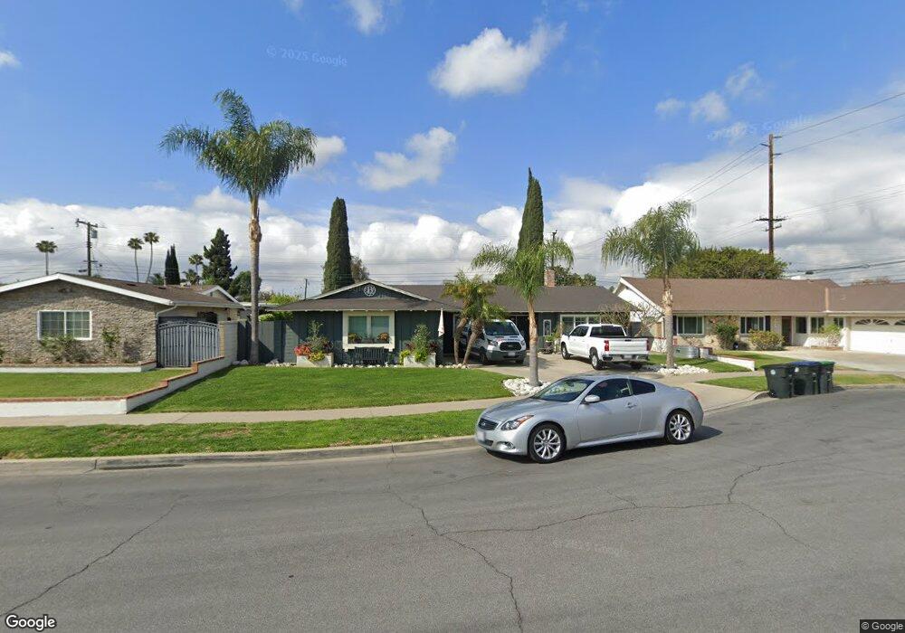
1522 Lanai Way Tustin, CA 92780
Estimated Value: $1,263,000 - $1,377,000
4
Beds
2
Baths
1,993
Sq Ft
$661/Sq Ft
Est. Value
About This Home
This home is located at 1522 Lanai Way, Tustin, CA 92780 and is currently estimated at $1,317,230, approximately $660 per square foot. 1522 Lanai Way is a home located in Orange County with nearby schools including Red Hill Elementary School, C. E. Utt Middle School, and Tustin High School.
Ownership History
Date
Name
Owned For
Owner Type
Purchase Details
Closed on
Jul 24, 1998
Sold by
Campbell Juanita E and Campbell Joanne M
Bought by
Bill John P and Bill Theresa M
Current Estimated Value
Home Financials for this Owner
Home Financials are based on the most recent Mortgage that was taken out on this home.
Original Mortgage
$192,000
Outstanding Balance
$38,985
Interest Rate
6.91%
Estimated Equity
$1,278,245
Purchase Details
Closed on
Jul 10, 1997
Sold by
Campbell Juanita E
Bought by
Foster Patricia
Home Financials for this Owner
Home Financials are based on the most recent Mortgage that was taken out on this home.
Original Mortgage
$11,000
Interest Rate
7.61%
Create a Home Valuation Report for This Property
The Home Valuation Report is an in-depth analysis detailing your home's value as well as a comparison with similar homes in the area
Home Values in the Area
Average Home Value in this Area
Purchase History
| Date | Buyer | Sale Price | Title Company |
|---|---|---|---|
| Bill John P | $240,000 | Chicago Title Co | |
| Foster Patricia | -- | -- |
Source: Public Records
Mortgage History
| Date | Status | Borrower | Loan Amount |
|---|---|---|---|
| Open | Bill John P | $192,000 | |
| Previous Owner | Foster Patricia | $11,000 | |
| Closed | Bill John P | $48,000 |
Source: Public Records
Tax History
| Year | Tax Paid | Tax Assessment Tax Assessment Total Assessment is a certain percentage of the fair market value that is determined by local assessors to be the total taxable value of land and additions on the property. | Land | Improvement |
|---|---|---|---|---|
| 2025 | $4,454 | $376,240 | $272,646 | $103,594 |
| 2024 | $4,454 | $368,863 | $267,300 | $101,563 |
| 2023 | $4,340 | $361,631 | $262,059 | $99,572 |
| 2022 | $4,269 | $354,541 | $256,921 | $97,620 |
| 2021 | $4,185 | $347,590 | $251,884 | $95,706 |
| 2020 | $4,163 | $344,026 | $249,301 | $94,725 |
| 2019 | $4,066 | $337,281 | $244,413 | $92,868 |
| 2018 | $4,002 | $330,668 | $239,620 | $91,048 |
| 2017 | $3,934 | $324,185 | $234,922 | $89,263 |
| 2016 | $3,866 | $317,829 | $230,316 | $87,513 |
| 2015 | $3,940 | $313,055 | $226,856 | $86,199 |
| 2014 | $3,842 | $306,923 | $222,412 | $84,511 |
Source: Public Records
Map
Nearby Homes
- 13381 Epping Way
- 13472 Epping Way
- 13541 Dean St
- 1271 Garland Ave
- 13652 Red Hill Ave Unit C
- 1672 Kenneth Dr
- 12911 Dean St
- 1125 E 1st St
- 13691 Red Hill Ave
- 13722 Red Hill Ave Unit 60
- 2171 Lemon Heights
- 2171 Sonbria
- 1042 San Juan St
- 1071 -1073 Walnut St
- 2226 Mccharles Dr
- 2196 Evergreen Dr
- 14682 Holt Ave
- 13050 Arborwalk Ln
- 12441 La Bella Dr
- 1281 La Colina Dr
- 1542 Lanai Way
- 1512 Lanai Way
- 1521 Kalua Ln
- 1541 Kalua Ln
- 1511 Kalua Ln
- 1552 Lanai Way
- 1521 Lanai Way
- 1551 Kalua Ln
- 1541 Lanai Way
- 1511 Lanai Way
- 1572 Lanai Way
- 1551 Lanai Way
- 1571 Kalua Ln
- 1571 Lanai Way
- 1522 Kalua Ln
- 1542 Kalua Ln
- 1512 Kalua Ln
- 13302 Coral Reef Rd
- 1582 Lanai Way
- 13311 Red Hill Ave