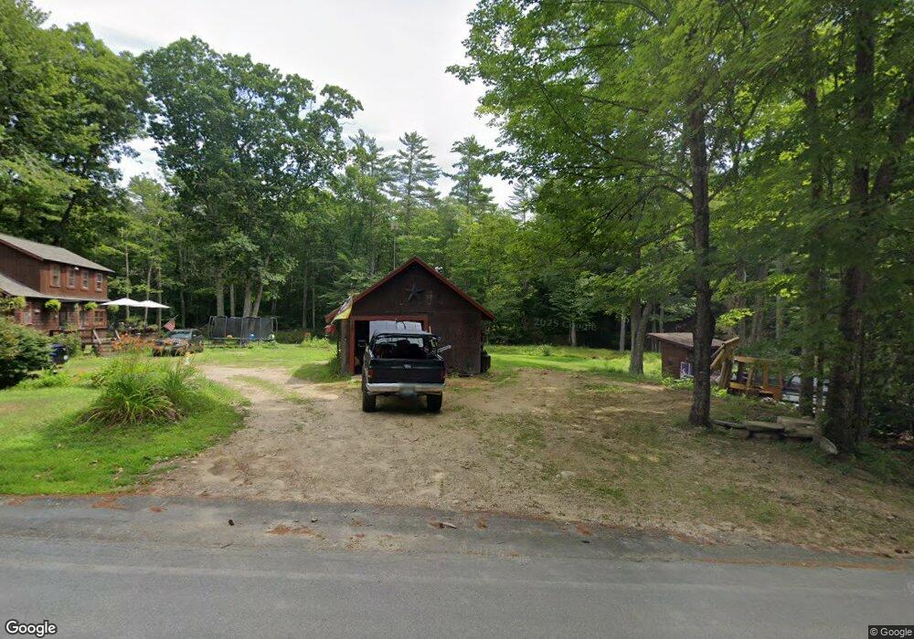
1522 Province Rd Strafford, NH 03884
Estimated Value: $339,885 - $478,000
1
Bed
1
Bath
1,277
Sq Ft
$321/Sq Ft
Est. Value
About This Home
This home is located at 1522 Province Rd, Strafford, NH 03884 and is currently estimated at $410,221, approximately $321 per square foot. 1522 Province Rd is a home located in Strafford County with nearby schools including Strafford School and Coe-Brown Northwood Academy.
Ownership History
Date
Name
Owned For
Owner Type
Purchase Details
Closed on
Mar 4, 2021
Sold by
Saundres Shane
Bought by
Saunders Shane and Sunders Heidi
Current Estimated Value
Home Financials for this Owner
Home Financials are based on the most recent Mortgage that was taken out on this home.
Original Mortgage
$220,000
Outstanding Balance
$196,316
Interest Rate
2.7%
Mortgage Type
New Conventional
Estimated Equity
$213,905
Purchase Details
Closed on
Jun 29, 2016
Sold by
Saunders Richard N and Saunders Shane
Bought by
Saunders Shane
Home Financials for this Owner
Home Financials are based on the most recent Mortgage that was taken out on this home.
Original Mortgage
$156,000
Interest Rate
3.58%
Mortgage Type
New Conventional
Purchase Details
Closed on
Dec 14, 2007
Sold by
Kelley Eleanor M
Bought by
Saunders Richard N
Home Financials for this Owner
Home Financials are based on the most recent Mortgage that was taken out on this home.
Original Mortgage
$164,900
Interest Rate
6.3%
Mortgage Type
Purchase Money Mortgage
Create a Home Valuation Report for This Property
The Home Valuation Report is an in-depth analysis detailing your home's value as well as a comparison with similar homes in the area
Home Values in the Area
Average Home Value in this Area
Purchase History
| Date | Buyer | Sale Price | Title Company |
|---|---|---|---|
| Saunders Shane | -- | None Available | |
| Saunders Shane | $151,533 | -- | |
| Saunders Richard N | $165,000 | -- |
Source: Public Records
Mortgage History
| Date | Status | Borrower | Loan Amount |
|---|---|---|---|
| Open | Saunders Shane | $220,000 | |
| Previous Owner | Saunders Shane | $156,000 | |
| Previous Owner | Saunders Richard N | $158,160 | |
| Previous Owner | Saunders Richard N | $164,900 |
Source: Public Records
Tax History Compared to Growth
Tax History
| Year | Tax Paid | Tax Assessment Tax Assessment Total Assessment is a certain percentage of the fair market value that is determined by local assessors to be the total taxable value of land and additions on the property. | Land | Improvement |
|---|---|---|---|---|
| 2024 | $3,964 | $200,600 | $68,900 | $131,700 |
| 2023 | $3,730 | $200,100 | $68,900 | $131,200 |
| 2022 | $3,428 | $200,100 | $68,900 | $131,200 |
| 2021 | $3,693 | $200,100 | $68,900 | $131,200 |
| 2020 | $4,042 | $157,600 | $64,200 | $93,400 |
| 2019 | $3,699 | $157,600 | $64,200 | $93,400 |
| 2018 | $3,411 | $157,600 | $64,200 | $93,400 |
| 2016 | $3,349 | $157,600 | $64,200 | $93,400 |
| 2015 | $3,387 | $155,300 | $78,100 | $77,200 |
| 2014 | $3,597 | $155,300 | $78,100 | $77,200 |
| 2013 | $3,522 | $155,300 | $78,100 | $77,200 |
| 2012 | $3,455 | $154,400 | $78,100 | $76,300 |
Source: Public Records
Map
Nearby Homes
- 1760 Province Rd
- Map 102 Lot 9 Kramas Ln
- R11 07 Clough Rd
- 152 Evans Rd
- 21 Quimby Dr
- 20 Quimby Dr
- 955 Catamount Rd
- 133 & 137 Browns Pasture Rd
- 152 Olde Canterbury Rd
- 17 Brook Circle Rd
- 18 Catamount Rd
- 85 Province Rd
- Map 219 Lot 6-8 Ridge Rd
- 64 Kelsey Mill Rd
- 572 S Barnstead Rd
- 19 Brook Cir
- 7 Chestnut Ln
- 21 Brook Cir
- 5 Chestnut Ln
- 8 Bow Lake Rd
- 7 Province Rd + Wild Goose Pond Rd
- 90 Province Rd
- 1539 Province Rd
- 00 Province Road and Wild Goose Pond Rd
- 0 Wild Goose Pond Rd
- 1490 Province Rd
- 36 Wild Goose Pond Rd
- 6-7 Wild Goose Pond
- 1566 Province Rd
- Map 1, Lot 14-9 Province Rd W Unit Map 1 Lot 14-9
- 46 Wild Goose Pond Rd
- 1561 Province Rd
- 1575 Province Rd
- 1563 Province Rd
- 58 Wild Goose Pond Rd
- 30 Wild Goose Pond Rd Unit 6-6
- "Lot 3" Province Rd
- 70 Webber Rd
- 76 Webber Rd
- 1577 Province Rd