Estimated Value: $176,000 - $245,331
3
Beds
2
Baths
1,828
Sq Ft
$115/Sq Ft
Est. Value
About This Home
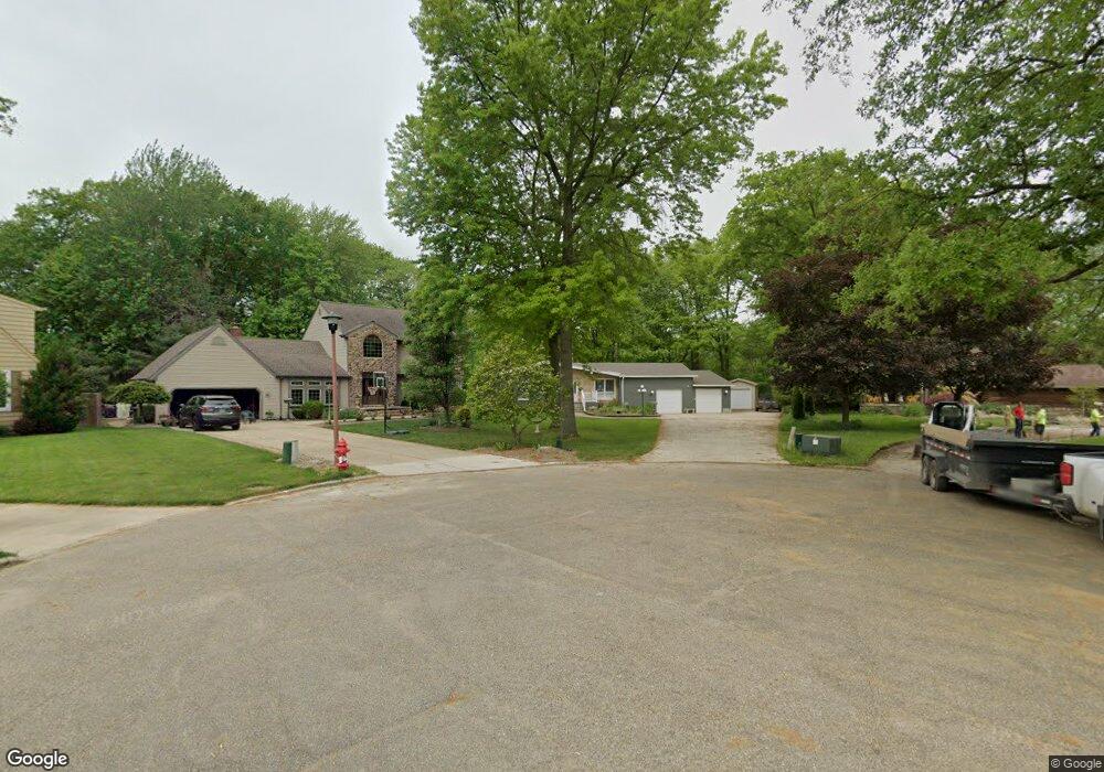
This home is located at 1522 Spruce Ct, Niles, OH 44446 and is currently estimated at $210,583, approximately $115 per square foot. 1522 Spruce Ct is a home located in Trumbull County with nearby schools including Niles Primary School, Niles Intermediate School, and Niles Middle School.
Ownership History
Date
Name
Owned For
Owner Type
Purchase Details
Closed on
May 28, 2025
Sold by
Logue Family Revocable Living Trust and Logue Richard A
Bought by
302 Grant Street Llc
Current Estimated Value
Purchase Details
Closed on
Apr 23, 2013
Sold by
Logue Richard A and Logue Mary Ann
Bought by
Logue Richard A and Logue Mary A
Purchase Details
Closed on
Dec 19, 2000
Sold by
Migliozzi Joseph M and Migliozzi Carol J
Bought by
Logue Richard A and Logue Mary Ann
Purchase Details
Closed on
Jan 1, 1990
Bought by
Joseph M Migliozzi
Create a Home Valuation Report for This Property
The Home Valuation Report is an in-depth analysis detailing your home's value as well as a comparison with similar homes in the area
Home Values in the Area
Average Home Value in this Area
Purchase History
| Date | Buyer | Sale Price | Title Company |
|---|---|---|---|
| 302 Grant Street Llc | $170,000 | None Listed On Document | |
| Logue Richard A | -- | None Available | |
| Logue Richard A | $130,000 | -- | |
| Joseph M Migliozzi | -- | -- |
Source: Public Records
Tax History Compared to Growth
Tax History
| Year | Tax Paid | Tax Assessment Tax Assessment Total Assessment is a certain percentage of the fair market value that is determined by local assessors to be the total taxable value of land and additions on the property. | Land | Improvement |
|---|---|---|---|---|
| 2024 | $2,493 | $69,480 | $9,560 | $59,920 |
| 2023 | $2,493 | $65,110 | $9,560 | $55,550 |
| 2022 | $2,017 | $49,990 | $9,560 | $40,430 |
| 2021 | $2,119 | $49,990 | $9,560 | $40,430 |
| 2020 | $2,138 | $49,990 | $9,560 | $40,430 |
| 2019 | $2,122 | $47,710 | $9,560 | $38,150 |
| 2018 | $2,115 | $47,710 | $9,560 | $38,150 |
| 2017 | $2,174 | $48,970 | $9,560 | $39,410 |
| 2016 | $2,049 | $46,310 | $9,560 | $36,750 |
| 2015 | $2,026 | $46,310 | $9,560 | $36,750 |
| 2014 | $2,033 | $46,310 | $9,560 | $36,750 |
| 2013 | $2,046 | $48,660 | $9,560 | $39,100 |
Source: Public Records
Map
Nearby Homes
- 352 N Rhodes Ave
- 340 Mcevoy Ct
- 1317 Hartzell Ave
- 364 Hogarth Ave
- 820 Hartzell Ave
- 812 Hartzell Ave
- 737 N Bentley Ave
- 733 N Bentley Ave
- 1004 N Bentley Ave
- 1919 Carnegie Heights Dr
- 0 Hughes St SE
- 404 N Bentley Ave
- 924 Nob Hill Dr Unit 3
- 1414 Niles Cortland Rd
- 1804 Stepney St
- 21 Summit Ave
- 126 S Rhodes Ave
- 719 Lafayette Ave
- 2213 N Glenwood Ave
- 839 Robbins Ave
- 1520 Spruce Ct
- 1530 Spruce Ct
- 1518 Spruce Ct
- 506 Bonnie Brae Ave
- 502 Bonnie Brae Ave
- 565 N Rhodes Ave
- 561 N Rhodes Ave
- 569 N Rhodes Ave
- 1510 Spruce Ct
- 510 Bonnie Brae Ave
- 466 Bonnie Brae Ave
- 551 N Rhodes Ave
- 1514 Spruce Ct
- 573 N Rhodes Ave
- 514 Bonnie Brae Ave
- 541 N Rhodes Ave
- 462 Bonnie Brae Ave
- 518 Bonnie Brae Ave
- 522 Bonnie Brae Ave
- 577 N Rhodes Ave