1522 Timothy Dr Unit 46 Latrobe, PA 15650
Estimated Value: $201,730 - $229,000
--
Bed
--
Bath
1,030
Sq Ft
$205/Sq Ft
Est. Value
About This Home
This home is located at 1522 Timothy Dr Unit 46, Latrobe, PA 15650 and is currently estimated at $211,433, approximately $205 per square foot. 1522 Timothy Dr Unit 46 is a home located in Westmoreland County with nearby schools including Grandview Elementary, Derry Area Middle School, and Derry Area Senior High School.
Ownership History
Date
Name
Owned For
Owner Type
Purchase Details
Closed on
Jun 7, 2024
Sold by
Revocable Trust Of Wayne C Minton And Sh and Minton Wayne C
Bought by
Devey Doris J
Current Estimated Value
Purchase Details
Closed on
Jun 19, 2023
Sold by
Minton Wayne C and Minton Sharon Sue
Bought by
Joint Revocable Trust and Minton
Create a Home Valuation Report for This Property
The Home Valuation Report is an in-depth analysis detailing your home's value as well as a comparison with similar homes in the area
Home Values in the Area
Average Home Value in this Area
Purchase History
| Date | Buyer | Sale Price | Title Company |
|---|---|---|---|
| Devey Doris J | $195,000 | None Listed On Document | |
| Joint Revocable Trust | -- | None Listed On Document |
Source: Public Records
Tax History Compared to Growth
Tax History
| Year | Tax Paid | Tax Assessment Tax Assessment Total Assessment is a certain percentage of the fair market value that is determined by local assessors to be the total taxable value of land and additions on the property. | Land | Improvement |
|---|---|---|---|---|
| 2025 | $1,996 | $16,060 | $2,250 | $13,810 |
| 2024 | $1,996 | $16,060 | $2,250 | $13,810 |
| 2023 | $1,884 | $16,060 | $2,250 | $13,810 |
| 2022 | $1,868 | $16,060 | $2,250 | $13,810 |
| 2021 | $1,868 | $16,060 | $2,250 | $13,810 |
| 2020 | $1,836 | $16,060 | $2,250 | $13,810 |
| 2019 | $1,795 | $16,060 | $2,250 | $13,810 |
| 2018 | $1,715 | $16,060 | $2,250 | $13,810 |
| 2017 | $1,670 | $16,060 | $2,250 | $13,810 |
| 2016 | $1,598 | $16,060 | $2,250 | $13,810 |
| 2015 | $1,598 | $16,060 | $2,250 | $13,810 |
| 2014 | $1,598 | $16,060 | $2,250 | $13,810 |
Source: Public Records
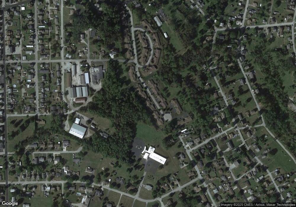
Map
Nearby Homes
- 1306 Spring St
- 2101 Walnut Dr
- 1908 Walnut Dr
- 1116 Saint Clair St
- 934 Wood St
- 332 Richmond St
- 704 Abbott St
- 108 Pandora Rd
- 1 Bankie Dr
- 2023 Sylvan Ave
- 721 Lehmer St
- 1715 Sloan Ave
- 1710 Raymond Ave
- 701 Fairmont St
- 1505 Raymond Ave
- 1748 Dailey Ave
- 408 Highview St
- 1607 Ligonier St
- 1608 Jefferson St
- 209 Gertrude St
- 1520 Timothy Dr Unit 45
- 1524 Timothy Dr Unit 47
- 1526 Timothy Dr Unit 48
- 1518 Timothy Dr
- 1519 Timothy Dr Unit 57
- 1521 Timothy Dr Unit 58
- 1516 Timothy Dr Unit 43
- 1517 Timothy Dr Unit 56
- 1528 Timothy Dr Unit 49
- 1515 Timothy Dr Unit 55
- 1525 Timothy Dr Unit 60
- 1514 Timothy Dr Unit 42
- 1530 Timothy Dr Unit 50
- 1513 Timothy Dr Unit 54
- 1532 Timothy Dr Unit 51
- 1534 Timothy Dr Unit 52
- 1527 Timothy Dr Unit 61
- 1529 Timothy Dr Unit 62
- 1531 Timothy Dr Unit 63
- 1453 Spring Crest Cir