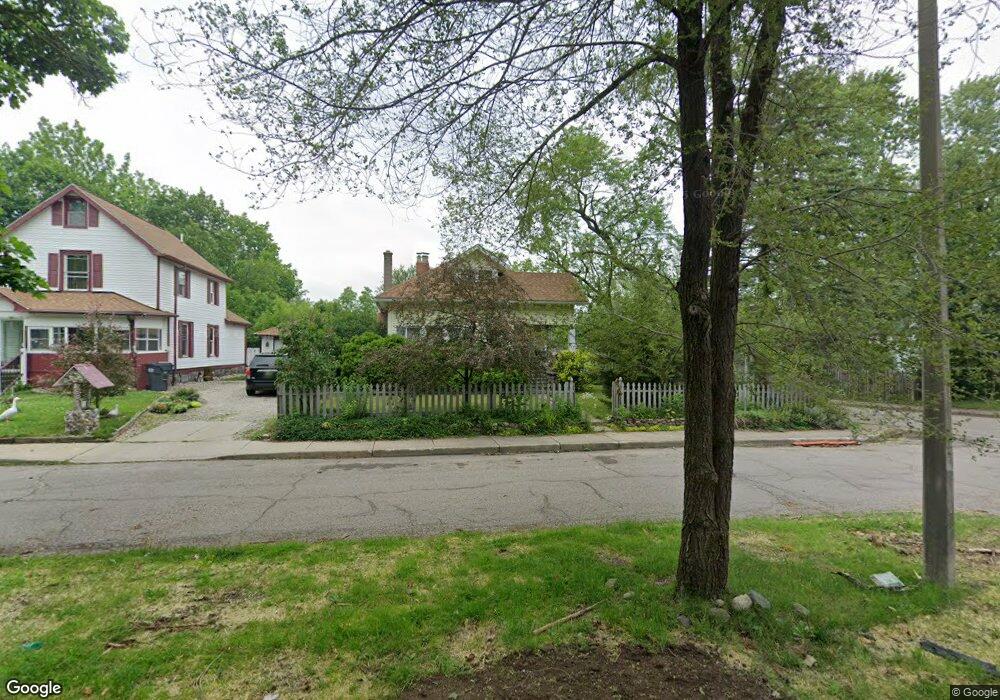
1523 Lane Blvd Kalamazoo, MI 49001
Edison NeighborhoodEstimated Value: $131,455 - $151,000
3
Beds
1
Bath
1,235
Sq Ft
$113/Sq Ft
Est. Value
About This Home
This home is located at 1523 Lane Blvd, Kalamazoo, MI 49001 and is currently estimated at $139,364, approximately $112 per square foot. 1523 Lane Blvd is a home located in Kalamazoo County with nearby schools including Milwood Elementary School, Milwood Magnet School, and Loy Norrix High School.
Ownership History
Date
Name
Owned For
Owner Type
Purchase Details
Closed on
Jun 28, 2004
Sold by
Griffith Benjamin W and Griffith Theresa C
Bought by
Wedel Mark and Isenberg Julie
Current Estimated Value
Purchase Details
Closed on
May 27, 2004
Sold by
Griffith Benjamin W and Griffith Theresa C
Bought by
Household Finance Corp Iii
Purchase Details
Closed on
Oct 16, 2003
Sold by
Carlson Wade
Bought by
City Of Kalamazoo
Create a Home Valuation Report for This Property
The Home Valuation Report is an in-depth analysis detailing your home's value as well as a comparison with similar homes in the area
Home Values in the Area
Average Home Value in this Area
Purchase History
| Date | Buyer | Sale Price | Title Company |
|---|---|---|---|
| Wedel Mark | $74,900 | Metro | |
| Household Finance Corp Iii | $55,121 | -- | |
| City Of Kalamazoo | -- | -- |
Source: Public Records
Tax History Compared to Growth
Tax History
| Year | Tax Paid | Tax Assessment Tax Assessment Total Assessment is a certain percentage of the fair market value that is determined by local assessors to be the total taxable value of land and additions on the property. | Land | Improvement |
|---|---|---|---|---|
| 2025 | $1,150 | $49,800 | $0 | $0 |
| 2024 | $642 | $39,600 | $0 | $0 |
| 2023 | $612 | $35,300 | $0 | $0 |
| 2022 | $1,043 | $30,100 | $0 | $0 |
| 2021 | $1,008 | $29,500 | $0 | $0 |
| 2020 | $987 | $26,200 | $0 | $0 |
| 2019 | $941 | $21,600 | $0 | $0 |
| 2018 | $919 | $19,500 | $0 | $0 |
| 2017 | $944 | $20,000 | $0 | $0 |
| 2016 | $944 | $19,500 | $0 | $0 |
| 2015 | $944 | $19,200 | $0 | $0 |
| 2014 | $944 | $17,700 | $0 | $0 |
Source: Public Records
Map
Nearby Homes
- 1424 Lay Blvd
- 1939 March St
- 1224 Lane Blvd
- 1118 Lane Blvd
- 1510 Palmer Ave
- 1719 Palmer Ave
- 1517 E Stockbridge Ave
- 1028 Clinton Ave
- 1118 E Alcott St
- 1707 E Stockbridge Ave
- 1303 E Stockbridge Ave
- 915 Hays Park Ave
- 1002 Egleston Ave
- 1512 Race St
- 1212 Washington Ave
- 2008 E Stockbridge Ave
- 1211 James St
- 923 E Stockbridge Ave
- 920 Washington Ave
- 916 Washington Ave
- 1517 Lane Blvd
- 1916 Cameron St Unit Bldg-Unit
- 1916 Cameron St
- 1513 Lane Blvd
- 1910 Cameron St
- 1603 Lane Blvd
- 1509 Lane Blvd
- 1911 Cameron St
- 1524 Lane Blvd
- 1602 Lane Blvd
- 1518 Lane Blvd
- 1607 Lane Blvd
- 1904 Cameron St
- 1507 Lane Blvd
- 1514 Lane Blvd
- 1514 Lay Blvd
- 1520 Lay Blvd
- 1510 Lane Blvd
- 1510 Lay Blvd
- 1611 Lane Blvd