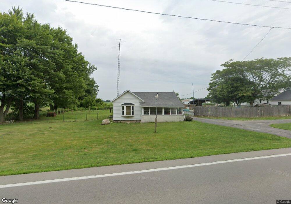
15234 Us Highway 20 Wauseon, OH 43567
Estimated Value: $82,000 - $159,219
3
Beds
1
Bath
1,060
Sq Ft
$118/Sq Ft
Est. Value
About This Home
This home is located at 15234 Us Highway 20, Wauseon, OH 43567 and is currently estimated at $125,305, approximately $118 per square foot. 15234 Us Highway 20 is a home located in Fulton County with nearby schools including Evergreen Elementary School, Evergreen Middle School, and Evergreen High School.
Ownership History
Date
Name
Owned For
Owner Type
Purchase Details
Closed on
Sep 9, 2003
Sold by
Us Bank Na
Bought by
Ward Helen
Current Estimated Value
Home Financials for this Owner
Home Financials are based on the most recent Mortgage that was taken out on this home.
Original Mortgage
$54,400
Outstanding Balance
$25,219
Interest Rate
6.23%
Mortgage Type
Purchase Money Mortgage
Estimated Equity
$100,086
Purchase Details
Closed on
Feb 7, 2003
Sold by
Mossing Mark S
Bought by
U S Bank Na and Morgan Stanley Dean Witter Capital I Inc
Purchase Details
Closed on
Jul 23, 1996
Sold by
Walter Alice L
Bought by
Mossing Mark S
Home Financials for this Owner
Home Financials are based on the most recent Mortgage that was taken out on this home.
Original Mortgage
$55,675
Interest Rate
8.31%
Mortgage Type
New Conventional
Purchase Details
Closed on
Jan 1, 1990
Bought by
Best Alice
Create a Home Valuation Report for This Property
The Home Valuation Report is an in-depth analysis detailing your home's value as well as a comparison with similar homes in the area
Home Values in the Area
Average Home Value in this Area
Purchase History
| Date | Buyer | Sale Price | Title Company |
|---|---|---|---|
| Ward Helen | $68,000 | Fidelity Land Title | |
| U S Bank Na | $50,000 | -- | |
| Mossing Mark S | $65,500 | -- | |
| Best Alice | -- | -- |
Source: Public Records
Mortgage History
| Date | Status | Borrower | Loan Amount |
|---|---|---|---|
| Open | Ward Helen | $54,400 | |
| Previous Owner | Mossing Mark S | $55,675 | |
| Closed | Ward Helen | $13,600 |
Source: Public Records
Tax History Compared to Growth
Tax History
| Year | Tax Paid | Tax Assessment Tax Assessment Total Assessment is a certain percentage of the fair market value that is determined by local assessors to be the total taxable value of land and additions on the property. | Land | Improvement |
|---|---|---|---|---|
| 2024 | $1,065 | $30,100 | $8,890 | $21,210 |
| 2023 | $1,065 | $30,100 | $8,890 | $21,210 |
| 2022 | $1,145 | $25,870 | $7,420 | $18,450 |
| 2021 | $1,144 | $25,870 | $7,420 | $18,450 |
| 2020 | $1,126 | $25,870 | $7,420 | $18,450 |
| 2019 | $1,182 | $27,930 | $7,280 | $20,650 |
| 2018 | $1,082 | $27,930 | $7,280 | $20,650 |
| 2017 | $1,071 | $27,930 | $7,280 | $20,650 |
| 2016 | $1,028 | $24,640 | $7,280 | $17,360 |
| 2015 | $950 | $24,640 | $7,280 | $17,360 |
| 2014 | $954 | $24,640 | $7,280 | $17,360 |
| 2013 | $1,033 | $24,580 | $6,270 | $18,310 |
Source: Public Records
Map
Nearby Homes
- 16099 Us Highway 20
- 14640 County Road K
- 0 County Rd N
- 0 County Road L
- 12538 County Rd N
- 13787 County Road L
- 13890 Rice Hwy
- 10216 County Road 14
- 12500 County Road L
- 402 Pearl St
- 328 E Main St
- 10965 County Rd S
- 511 E Main St
- 15383 County Road 19
- 128 E Lagrange St
- 221 N Summit St
- 11715 County Road L
- 141 E Main St
- 507 Page St
- 313 W Morenci St
- 15200 Us Highway 20
- 15178 Us Highway 20
- 15241 Us Highway 20
- 15217 Us Highway 20
- 14023 County Road 15 1
- 15161 Us Highway 20
- 15193 Us Highway 20
- 15320 Us Highway 20
- 14023 County Road W Unit 15-1
- 15161 Us 20
- 14071 County Road W Unit 15-1
- 15123 Us Highway 20
- 14016 County Road 15-1
- 15109 Us Highway 20
- 14016 County Road N Unit 15-1
- 14036 County Road N Unit 15-1
- 15378 Us Highway 20
- 15091 Us Highway 20
- 14046 County Road N Unit 15-1
- 14158 County Road N Unit 15-1