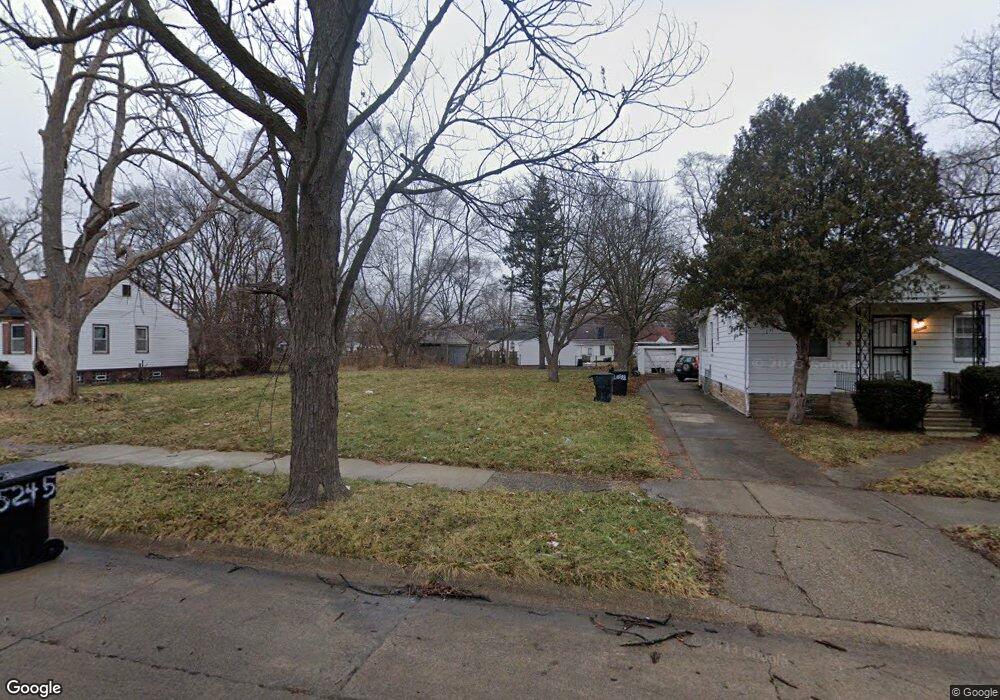
15235 Liberal St Detroit, MI 48205
Regent Park NeighborhoodEstimated Value: $46,000 - $51,000
--
Bed
1
Bath
697
Sq Ft
$70/Sq Ft
Est. Value
About This Home
This home is located at 15235 Liberal St, Detroit, MI 48205 and is currently estimated at $48,500, approximately $69 per square foot. 15235 Liberal St is a home located in Wayne County with nearby schools including Edward 'Duke' Ellington Conservatory of Music and Art, Charles L. Spain Elementary-Middle School, and Denby High School.
Ownership History
Date
Name
Owned For
Owner Type
Purchase Details
Closed on
Nov 20, 2023
Sold by
Detroit Land Bank Authority
Bought by
Forman Mikkos
Current Estimated Value
Purchase Details
Closed on
Jan 12, 2017
Sold by
Sabree Eric R
Bought by
Dertoit Land Bank Authority
Purchase Details
Closed on
Apr 17, 2013
Sold by
Us Mortgage Specialists Llc
Bought by
Ploutos Development Llc
Purchase Details
Closed on
Apr 15, 2013
Sold by
Tradin Places Llc
Bought by
Us Mortgage Specialist Llc
Purchase Details
Closed on
Jul 16, 2012
Sold by
Wayne County Treasurer
Bought by
Ws Business Solutions Inc
Purchase Details
Closed on
Jul 26, 2007
Sold by
Wilson Aaron C
Bought by
Watkins Maurice
Purchase Details
Closed on
Nov 21, 2006
Sold by
Abke Kvintus Catherine M and Abke Hicks Pamela
Bought by
U S Bank Na
Purchase Details
Closed on
Oct 11, 2006
Sold by
Abke Kvintis Catherine M and Abke Hicks Pamela
Bought by
U S Bank Na
Create a Home Valuation Report for This Property
The Home Valuation Report is an in-depth analysis detailing your home's value as well as a comparison with similar homes in the area
Home Values in the Area
Average Home Value in this Area
Purchase History
| Date | Buyer | Sale Price | Title Company |
|---|---|---|---|
| Forman Mikkos | -- | None Listed On Document | |
| Forman Mikkos | -- | None Listed On Document | |
| Dertoit Land Bank Authority | -- | None Available | |
| Ploutos Development Llc | $14,583 | None Available | |
| Us Mortgage Specialist Llc | -- | None Available | |
| Ws Business Solutions Inc | $500 | None Available | |
| Watkins Maurice | -- | None Available | |
| U S Bank Na | $2,700 | None Available | |
| U S Bank Na | $37,500 | None Available |
Source: Public Records
Tax History Compared to Growth
Tax History
| Year | Tax Paid | Tax Assessment Tax Assessment Total Assessment is a certain percentage of the fair market value that is determined by local assessors to be the total taxable value of land and additions on the property. | Land | Improvement |
|---|---|---|---|---|
| 2025 | -- | $3,800 | $0 | $0 |
| 2024 | -- | $0 | $0 | $0 |
| 2023 | $0 | $0 | $0 | $0 |
| 2022 | $0 | $0 | $0 | $0 |
| 2021 | $0 | $0 | $0 | $0 |
| 2020 | $1,406 | $0 | $0 | $0 |
| 2019 | $1,406 | $0 | $0 | $0 |
| 2018 | $0 | $3,200 | $0 | $0 |
| 2017 | $66 | $3,500 | $0 | $0 |
| 2016 | $889 | $8,600 | $0 | $0 |
| 2015 | $860 | $8,600 | $0 | $0 |
| 2013 | $1,190 | $11,903 | $0 | $0 |
| 2010 | -- | $17,451 | $1,010 | $16,441 |
Source: Public Records
Map
Nearby Homes
- 15018 Tacoma St
- 14996 Tacoma St
- 14944 Manning St
- 14985 Tacoma St
- 15037 E State Fair St
- 14952 E State Fair Ave
- 15411 E State Fair St
- 15645 Liberal St
- 14772 Tacoma St
- 14931 Rossini Dr
- 15693 Liberal St
- 15219 Fairmount Dr
- 14930 Fairmount Dr
- 15309 Fairmount Dr
- 15486 Fairmount Dr
- 14741 Coram St
- 14916 Maddelein St
- 14788 Rossini Dr
- 15260 Eastburn St
- 15243 Fordham St
- 15233 Liberal St
- 15245 Liberal St
- 15219 Liberal St
- 15257 Liberal St
- 15246 Manning St
- 15213 Liberal St
- 15236 Manning St
- 15228 Manning St
- 15269 Liberal St
- 15220 Manning St
- 15252 Manning St Unit Bldg-Unit
- 15252 Manning St
- 15236 Liberal St
- 15203 Liberal St
- 15220 Liberal St
- 15210 Manning St
- 15260 Manning St
- 15242 Liberal St
- 15226 Liberal St
- 15277 Liberal St