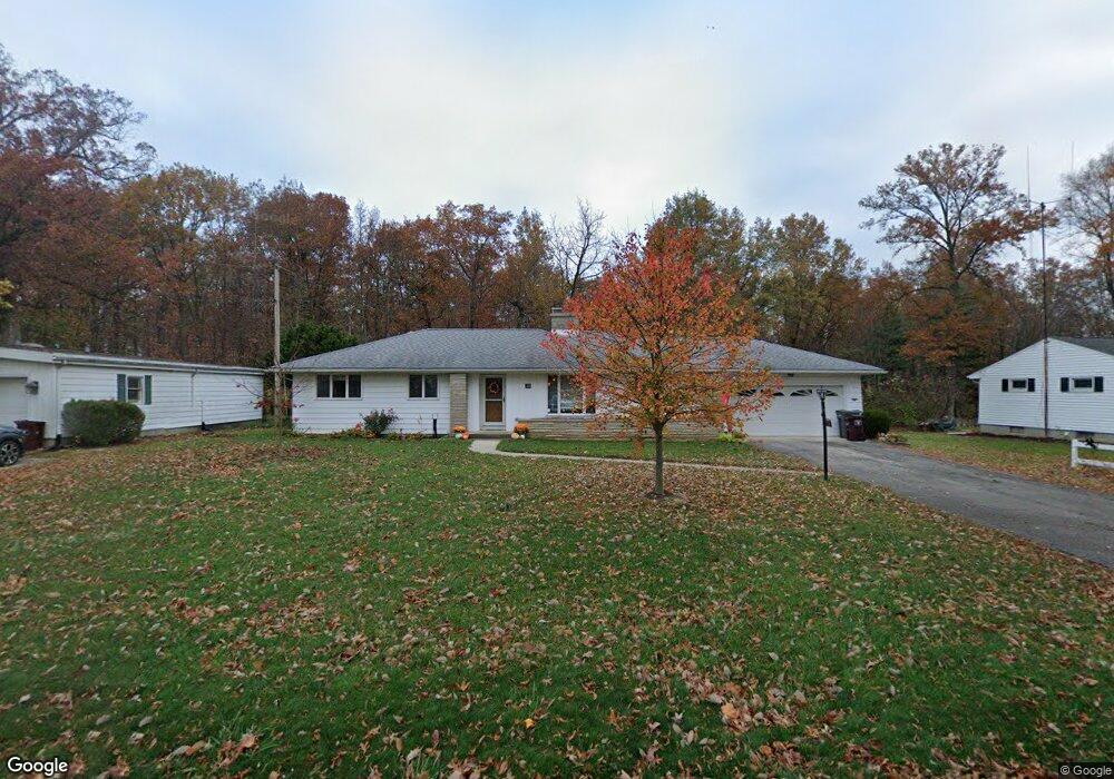
1524 Latham Ave Lima, OH 45805
Westgate NeighborhoodEstimated Value: $152,000 - $186,000
3
Beds
1
Bath
1,660
Sq Ft
$100/Sq Ft
Est. Value
About This Home
This home is located at 1524 Latham Ave, Lima, OH 45805 and is currently estimated at $166,574, approximately $100 per square foot. 1524 Latham Ave is a home located in Allen County with nearby schools including Heritage Elementary School, Lima West Middle School, and Lima North Middle School.
Ownership History
Date
Name
Owned For
Owner Type
Purchase Details
Closed on
Jun 17, 2016
Sold by
Burky Marcia L and Burky John W
Bought by
Douglass Summer E
Current Estimated Value
Home Financials for this Owner
Home Financials are based on the most recent Mortgage that was taken out on this home.
Original Mortgage
$77,600
Outstanding Balance
$61,781
Interest Rate
3.58%
Mortgage Type
New Conventional
Estimated Equity
$104,793
Purchase Details
Closed on
Dec 18, 2008
Sold by
Brenneman James E
Bought by
Burky Marcia L
Home Financials for this Owner
Home Financials are based on the most recent Mortgage that was taken out on this home.
Original Mortgage
$33,000
Interest Rate
6.3%
Mortgage Type
Purchase Money Mortgage
Purchase Details
Closed on
Mar 1, 1983
Bought by
Brenneman Eleanor E
Create a Home Valuation Report for This Property
The Home Valuation Report is an in-depth analysis detailing your home's value as well as a comparison with similar homes in the area
Home Values in the Area
Average Home Value in this Area
Purchase History
| Date | Buyer | Sale Price | Title Company |
|---|---|---|---|
| Douglass Summer E | $97,000 | None Available | |
| Burky Marcia L | $53,000 | Attorney | |
| Brenneman Eleanor E | -- | -- |
Source: Public Records
Mortgage History
| Date | Status | Borrower | Loan Amount |
|---|---|---|---|
| Open | Douglass Summer E | $77,600 | |
| Previous Owner | Burky Marcia L | $33,000 |
Source: Public Records
Tax History Compared to Growth
Tax History
| Year | Tax Paid | Tax Assessment Tax Assessment Total Assessment is a certain percentage of the fair market value that is determined by local assessors to be the total taxable value of land and additions on the property. | Land | Improvement |
|---|---|---|---|---|
| 2024 | $1,687 | $47,320 | $10,360 | $36,960 |
| 2023 | $1,568 | $38,190 | $8,370 | $29,820 |
| 2022 | $1,577 | $38,190 | $8,370 | $29,820 |
| 2021 | $1,671 | $38,190 | $8,370 | $29,820 |
| 2020 | $1,495 | $30,110 | $7,880 | $22,230 |
| 2019 | $1,495 | $30,110 | $7,880 | $22,230 |
| 2018 | $1,474 | $30,110 | $7,880 | $22,230 |
| 2017 | $1,359 | $27,130 | $7,880 | $19,250 |
| 2016 | $1,407 | $27,130 | $7,880 | $19,250 |
| 2015 | $1,227 | $27,130 | $7,880 | $19,250 |
| 2014 | $1,227 | $23,170 | $8,050 | $15,120 |
| 2013 | $1,194 | $23,170 | $8,050 | $15,120 |
Source: Public Records
Map
Nearby Homes
- 621 Fairfield Dr
- 1719 Latham Ave
- 1517 Allentown Rd
- 918 Cornell Dr
- 1206 Rice Ave
- 1753 Leland Ave
- 1703 W Wayne St
- 1120 Richie Ave
- 102 Charwood Dr
- 1023 Leland Ave
- 1113 Crestwood Dr
- 858 Mackenzie Dr
- 2100 University Blvd
- 0 Sherman Ave
- 1580 W Robb Ave
- 1710 Camp Ave
- 514 N Cable Rd
- 109 N Pears Ave
- 1630 W Market St
- 1459 W Market St