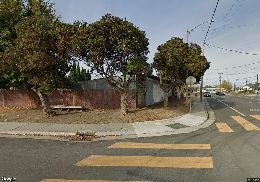
1524 Liberty St Alviso, CA 95002
Estimated Value: $731,000 - $1,027,000
2
Beds
1
Bath
625
Sq Ft
$1,322/Sq Ft
Est. Value
About This Home
This home is located at 1524 Liberty St, Alviso, CA 95002 and is currently estimated at $825,964, approximately $1,321 per square foot. 1524 Liberty St is a home with nearby schools including Don Callejon School, George Mayne Elementary School, and Adrian Wilcox High School.
Ownership History
Date
Name
Owned For
Owner Type
Purchase Details
Closed on
Nov 21, 2002
Sold by
Medeiros Edward Soares and Medeiros Pauline Choy Young
Bought by
Luh Llc
Current Estimated Value
Home Financials for this Owner
Home Financials are based on the most recent Mortgage that was taken out on this home.
Original Mortgage
$625,000
Outstanding Balance
$266,787
Interest Rate
6.28%
Estimated Equity
$559,177
Create a Home Valuation Report for This Property
The Home Valuation Report is an in-depth analysis detailing your home's value as well as a comparison with similar homes in the area
Home Values in the Area
Average Home Value in this Area
Purchase History
| Date | Buyer | Sale Price | Title Company |
|---|---|---|---|
| Luh Llc | $1,010,000 | Fidelity National Title Ins |
Source: Public Records
Mortgage History
| Date | Status | Borrower | Loan Amount |
|---|---|---|---|
| Open | Luh Llc | $625,000 |
Source: Public Records
Tax History Compared to Growth
Tax History
| Year | Tax Paid | Tax Assessment Tax Assessment Total Assessment is a certain percentage of the fair market value that is determined by local assessors to be the total taxable value of land and additions on the property. | Land | Improvement |
|---|---|---|---|---|
| 2025 | $3,931 | $257,781 | $231,722 | $26,059 |
| 2024 | $3,931 | $252,728 | $227,179 | $25,549 |
| 2023 | $3,899 | $247,774 | $222,725 | $25,049 |
| 2022 | $3,876 | $242,916 | $218,358 | $24,558 |
| 2021 | $3,862 | $238,154 | $214,077 | $24,077 |
| 2020 | $3,793 | $235,713 | $211,882 | $23,831 |
| 2019 | $3,805 | $231,092 | $207,728 | $23,364 |
| 2018 | $3,604 | $226,561 | $203,655 | $22,906 |
| 2017 | $3,589 | $222,119 | $199,662 | $22,457 |
| 2016 | $2,896 | $217,765 | $195,748 | $22,017 |
| 2015 | $3,573 | $214,495 | $192,808 | $21,687 |
| 2014 | $3,436 | $210,295 | $189,032 | $21,263 |
Source: Public Records
Map
Nearby Homes
- 1280 Michigan Ave
- 1391 State St
- 2052 Gold St Unit 212
- 2052 Gold St Unit 34
- 1515 State St
- 4271 N First St Unit 124
- 418 Pinefield Rd Unit 418
- 425 Shorewood Ln
- 543 Southbay Dr
- 4049 Rio Ct
- 4098 Biscotti Place Unit 199
- 626 Hermitage St Unit 626
- 316 Los Encinos St
- 316 Los Encinos St Unit 316
- 2313 Villa Place
- 1220 Tasman Dr Unit 128
- 1220 Tasman Dr Unit 124
- 1220 Tasman Dr Unit 7
- 1220 Tasman Dr
- 1220 Tasman Dr Unit 558
- 1113 Taylor St
- 1160 Taylor St
- 1170 N Taylor St
- 1463 Liberty St
- 1480 Liberty St
- 1134 N Taylor St
- 1465 Liberty Ct
- 1467 Liberty Ct
- 1469 Liberty Ct
- 1410 Liberty St
- 1181 Catherine St
- 1214 Wabash St
- 1121 Catherine St
- 1621 Gold St
- 1207 State St
- 1111 Catherine St
- 1226 Wabash St
- 1226 Wabash St
- 1203 Mcginness Ave
- 1225 State St
