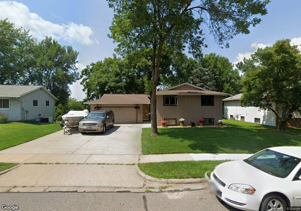
1524 Woodland Dr Red Wing, MN 55066
Estimated Value: $289,223 - $295,000
3
Beds
2
Baths
1,049
Sq Ft
$279/Sq Ft
Est. Value
About This Home
This home is located at 1524 Woodland Dr, Red Wing, MN 55066 and is currently estimated at $292,306, approximately $278 per square foot. 1524 Woodland Dr is a home located in Goodhue County with nearby schools including Sunnyside Elementary School, Burnside Elementary School, and Twin Bluff Middle School.
Ownership History
Date
Name
Owned For
Owner Type
Purchase Details
Closed on
Apr 6, 2010
Sold by
Roosevelt Mortgage Acquisition Company
Bought by
Gadient Amanda
Current Estimated Value
Purchase Details
Closed on
Apr 8, 2008
Sold by
Anderson Jeffrey B and Anderson Melanie M
Bought by
Bohmbach Jay G
Purchase Details
Closed on
Oct 15, 2003
Sold by
Anderson Jeffrey B and Anderson Melanie M
Bought by
B0hmbach Jay G
Purchase Details
Closed on
Nov 22, 2000
Sold by
Tollefson Jack R and Tollefson Ruth L
Bought by
Anderson Jeffrey B and Anderson Melanie M
Create a Home Valuation Report for This Property
The Home Valuation Report is an in-depth analysis detailing your home's value as well as a comparison with similar homes in the area
Home Values in the Area
Average Home Value in this Area
Purchase History
| Date | Buyer | Sale Price | Title Company |
|---|---|---|---|
| Gadient Amanda | $152,500 | -- | |
| Bohmbach Jay G | $180,000 | -- | |
| B0hmbach Jay G | $180,000 | -- | |
| Anderson Jeffrey B | $134,000 | -- |
Source: Public Records
Mortgage History
| Date | Status | Borrower | Loan Amount |
|---|---|---|---|
| Closed | B0hmbach Jay G | -- |
Source: Public Records
Tax History Compared to Growth
Tax History
| Year | Tax Paid | Tax Assessment Tax Assessment Total Assessment is a certain percentage of the fair market value that is determined by local assessors to be the total taxable value of land and additions on the property. | Land | Improvement |
|---|---|---|---|---|
| 2025 | $3,072 | $250,100 | $45,900 | $204,200 |
| 2024 | $3,072 | $247,800 | $45,900 | $201,900 |
| 2023 | $1,545 | $234,700 | $46,100 | $188,600 |
| 2022 | $2,754 | $233,300 | $46,100 | $187,200 |
| 2021 | $2,568 | $200,400 | $46,100 | $154,300 |
| 2020 | $2,530 | $190,700 | $46,100 | $144,600 |
| 2019 | $2,506 | $177,300 | $46,100 | $131,200 |
| 2018 | $2,006 | $177,700 | $44,200 | $133,500 |
| 2017 | $1,970 | $156,500 | $44,200 | $112,300 |
| 2016 | $1,790 | $155,600 | $44,200 | $111,400 |
| 2015 | $1,716 | $149,700 | $44,200 | $105,500 |
| 2014 | -- | $143,700 | $44,200 | $99,500 |
Source: Public Records
Map
Nearby Homes
- 1733 W 6th St
- 528 Buchanan St
- 1728 W 6th St
- 1715 W 5th St
- 504 Buchanan St Unit 506
- 1632 Spruce Dr
- 1505 Hillside Dr
- 1706 Siewert St
- 1978 Neal St
- 319 Buchanan St
- 425 Minnesota St
- 314 Washington St
- 1224 Tee Up Ln
- 1164 Hawthorn St
- 1062 Putnam Ave
- 1606 Reichert Ave
- 1838 Spruce Dr
- 1029 Putnam Ave
- 1012 West Ave
- 1846 Twin Bluff Rd
- 1516 Woodland Dr
- 1530 Woodland Dr
- 1506 Woodland Dr
- 1538 Woodland Dr
- 1525 Woodland Dr
- 1515 Woodland Dr
- 1546 Woodland Dr
- 1547 Woodland Dr
- 1552 Woodland Dr
- 1555 Woodland Dr
- 1605 W Maple Ave
- 1560 Woodland Dr
- 1565 Woodland Dr
- 1504 Birchwood Dr
- 1711 Alvina St
- 1707 Alvina St
- 1715 Alvina St
- 1566 Woodland Dr
- 1575 Woodland Dr
- 1705 Alvina St