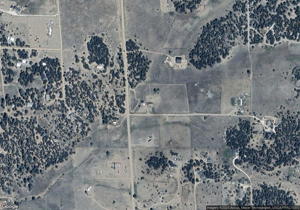
1525 F Path Cotopaxi, CO 81223
Estimated Value: $315,000 - $377,000
3
Beds
2
Baths
1,232
Sq Ft
$270/Sq Ft
Est. Value
About This Home
This home is located at 1525 F Path, Cotopaxi, CO 81223 and is currently estimated at $332,848, approximately $270 per square foot. 1525 F Path is a home located in Fremont County with nearby schools including Cotopaxi Elementary School and Cotopaxi Junior/Senior High School.
Ownership History
Date
Name
Owned For
Owner Type
Purchase Details
Closed on
Feb 16, 2018
Sold by
Carter Ronald Lee and Carter Jennifer E
Bought by
Blay Michael Alton and Blay Carol Ann
Current Estimated Value
Home Financials for this Owner
Home Financials are based on the most recent Mortgage that was taken out on this home.
Original Mortgage
$96,000
Outstanding Balance
$81,303
Interest Rate
3.99%
Mortgage Type
New Conventional
Estimated Equity
$251,545
Purchase Details
Closed on
Apr 29, 2002
Sold by
Watts
Bought by
Jarman Carter and Jarman Carter
Purchase Details
Closed on
Aug 13, 2001
Sold by
Watts
Bought by
Watts
Purchase Details
Closed on
Oct 14, 1987
Sold by
Watts Estate
Bought by
Watts
Purchase Details
Closed on
Aug 8, 1967
Sold by
Magnuson Properties
Bought by
Watts
Create a Home Valuation Report for This Property
The Home Valuation Report is an in-depth analysis detailing your home's value as well as a comparison with similar homes in the area
Home Values in the Area
Average Home Value in this Area
Purchase History
| Date | Buyer | Sale Price | Title Company |
|---|---|---|---|
| Blay Michael Alton | $166,000 | Unified Title Co | |
| Jarman Carter | $12,500 | -- | |
| Watts | -- | -- | |
| Watts | $3,300 | -- | |
| Watts | -- | -- |
Source: Public Records
Mortgage History
| Date | Status | Borrower | Loan Amount |
|---|---|---|---|
| Open | Blay Michael Alton | $96,000 |
Source: Public Records
Tax History Compared to Growth
Tax History
| Year | Tax Paid | Tax Assessment Tax Assessment Total Assessment is a certain percentage of the fair market value that is determined by local assessors to be the total taxable value of land and additions on the property. | Land | Improvement |
|---|---|---|---|---|
| 2024 | $696 | $18,282 | $0 | $0 |
| 2023 | $696 | $14,221 | $0 | $0 |
| 2022 | $561 | $11,949 | $0 | $0 |
| 2021 | $565 | $12,294 | $0 | $0 |
| 2020 | $491 | $10,881 | $0 | $0 |
| 2019 | $482 | $10,713 | $0 | $0 |
| 2018 | $354 | $7,850 | $0 | $0 |
| 2017 | $354 | $7,850 | $0 | $0 |
| 2016 | $373 | $8,260 | $0 | $0 |
| 2015 | $372 | $8,260 | $0 | $0 |
| 2012 | $360 | $8,768 | $1,393 | $7,375 |
Source: Public Records
Map
Nearby Homes
- 1012 17th Trail
- TBD 16th Trail
- 763 15th Trail
- 763 17th Trail
- 235 Blazing Saddle Trail
- 638 19th Trail
- 539
- 539 12th Trail
- TR-16 16th Trail
- 931 Deer Run Dr
- TBD 13th Trail
- TR-1 G Path
- 44th Trail G Path
- 547 Blazing Saddle Trail
- 395 Gibbons Trailway
- H Path 34th Trail
- 560 10th Trail
- 388 14th Trail
- NYA I Path
- 567 Trails End Ct
- 612 5th Trail
- 0 15th Trail Unit 7837444
- 0 15th Trail Unit 29274
- 0 15th Trail Unit 29195
- 0 15th Trail Unit 21201
- 0 15th Trail Unit C235941
- 000 F Path
- TR-53 F Path
- 613 15th Trail
- 1625 F Path
- 563 15th Trail
- 638 15th Trail
- 1675 F Path
- 612 14th Trail
- 638 16th Trail
- 562 14th Trail
- 1576 E Path
- 639 17th Trail
- 1663 14th Trail
- 34 14th Trail
