15250 Mesquite Ave Le Mars, IA 51031
Estimated Value: $274,000 - $461,168
6
Beds
3
Baths
2,464
Sq Ft
$165/Sq Ft
Est. Value
About This Home
This home is located at 15250 Mesquite Ave, Le Mars, IA 51031 and is currently estimated at $406,042, approximately $164 per square foot. 15250 Mesquite Ave is a home located in Plymouth County with nearby schools including Le Mars High School.
Ownership History
Date
Name
Owned For
Owner Type
Purchase Details
Closed on
Oct 13, 2015
Sold by
Niehus Randy I and Niehus Linda K
Bought by
Niehus Kyle J
Current Estimated Value
Home Financials for this Owner
Home Financials are based on the most recent Mortgage that was taken out on this home.
Original Mortgage
$350,000
Outstanding Balance
$274,243
Interest Rate
3.84%
Mortgage Type
Construction
Estimated Equity
$131,799
Purchase Details
Closed on
Jun 1, 2006
Sold by
Niehus Linda K and Niehus Randy
Bought by
Niehus Kyle
Create a Home Valuation Report for This Property
The Home Valuation Report is an in-depth analysis detailing your home's value as well as a comparison with similar homes in the area
Home Values in the Area
Average Home Value in this Area
Purchase History
| Date | Buyer | Sale Price | Title Company |
|---|---|---|---|
| Niehus Kyle J | -- | None Available | |
| Niehus Kyle | -- | None Available |
Source: Public Records
Mortgage History
| Date | Status | Borrower | Loan Amount |
|---|---|---|---|
| Open | Niehus Kyle J | $350,000 |
Source: Public Records
Tax History Compared to Growth
Tax History
| Year | Tax Paid | Tax Assessment Tax Assessment Total Assessment is a certain percentage of the fair market value that is determined by local assessors to be the total taxable value of land and additions on the property. | Land | Improvement |
|---|---|---|---|---|
| 2025 | $3,834 | $369,130 | $5,470 | $363,660 |
| 2024 | $3,048 | $348,210 | $4,590 | $343,620 |
| 2023 | $2,844 | $318,720 | $4,590 | $314,130 |
| 2022 | $2,820 | $241,410 | $3,320 | $238,090 |
| 2021 | $2,576 | $241,680 | $3,590 | $238,090 |
| 2020 | $2,576 | $213,810 | $3,400 | $210,410 |
| 2019 | -- | $185,440 | $3,400 | $182,040 |
| 2018 | -- | $171,450 | $4,480 | $166,970 |
| 2017 | -- | $176,500 | $0 | $0 |
| 2016 | -- | $176,500 | $0 | $0 |
| 2015 | -- | $159,600 | $0 | $0 |
| 2014 | -- | $0 | $0 | $0 |
Source: Public Records
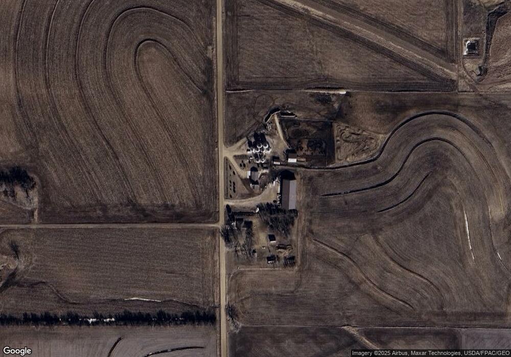
Map
Nearby Homes
- 15 Park Village
- TBD Park Village
- 10 7th Ave SE
- LOT 9 Northern Heights
- 1121 2nd St SE
- 418 3rd St NW
- 321 2nd Ave SE
- 401 Central Ave SW
- 582 Penny Ln
- 63 Highland Dr
- 520 Central Ave SE
- 729 7th Ave SE
- 626 3rd St SW
- 15 Riverview Dr Unit 15
- 811 3rd St SE
- 8 Parkview Terrace
- 212 6th St SW
- 307 9th St SE
- 35 9th St SW
- 125 9th St SW