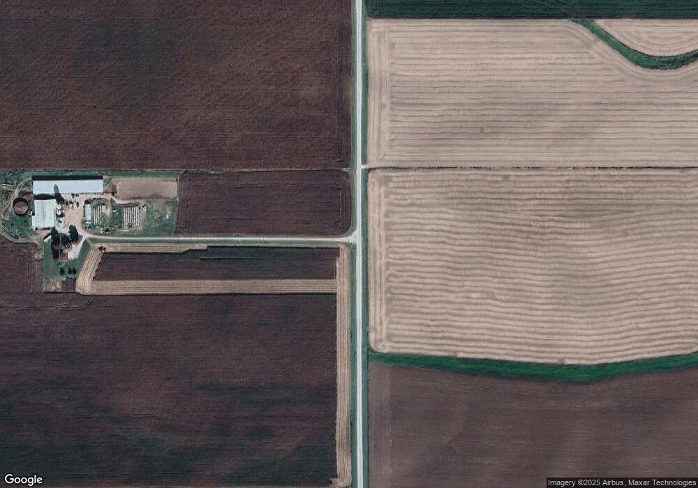
15257 Airport Rd Mount Carroll, IL 61053
Estimated Value: $176,000 - $585,925
3
Beds
3
Baths
1,852
Sq Ft
$195/Sq Ft
Est. Value
About This Home
This home is located at 15257 Airport Rd, Mount Carroll, IL 61053 and is currently estimated at $361,308, approximately $195 per square foot. 15257 Airport Rd is a home.
Create a Home Valuation Report for This Property
The Home Valuation Report is an in-depth analysis detailing your home's value as well as a comparison with similar homes in the area
Home Values in the Area
Average Home Value in this Area
Tax History Compared to Growth
Tax History
| Year | Tax Paid | Tax Assessment Tax Assessment Total Assessment is a certain percentage of the fair market value that is determined by local assessors to be the total taxable value of land and additions on the property. | Land | Improvement |
|---|---|---|---|---|
| 2024 | $7,797 | $105,936 | $45,171 | $60,765 |
| 2023 | $7,797 | $99,694 | $41,258 | $58,436 |
| 2022 | $7,640 | $82,012 | $23,576 | $58,436 |
| 2021 | $7,330 | $91,223 | $34,791 | $56,432 |
| 2020 | $7,102 | $79,878 | $23,446 | $56,432 |
| 2019 | $6,998 | $79,878 | $23,446 | $56,432 |
| 2018 | $6,835 | $79,878 | $23,446 | $56,432 |
| 2017 | $3,758 | $50,408 | $23,370 | $27,038 |
| 2016 | $3,725 | $50,408 | $23,370 | $27,038 |
| 2015 | $3,551 | $50,408 | $23,370 | $27,038 |
| 2014 | $3,103 | $47,411 | $20,373 | $27,038 |
| 2013 | $3,103 | $47,188 | $18,497 | $28,691 |
Source: Public Records
Map
Nearby Homes
- TBD Big Cut Rd
- 5574 Big Cut Rd
- 5270 Il Route 78
- 607 S Jackson St
- 16025 Illinois 78
- 103 N Carroll St
- 206 N Main St
- 212 W Market St
- 115 N Clay St
- 320 N Main St
- 119 W Market St
- 101 W Market St
- 102 E Market St
- 206 E Market St
- 17380 Corbett Rd
- Lot 3 Squire Cir
- Lot 1 Squire Cir
- Lot 20 Squire Cir
- 12349 Illinois 78
- 14 Manor Cir