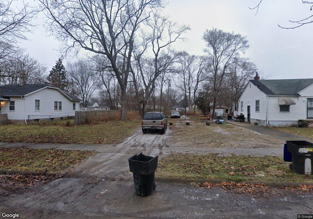
15257 Liberal St Detroit, MI 48205
Regent Park NeighborhoodEstimated Value: $48,000 - $98,144
--
Bed
1
Bath
816
Sq Ft
$84/Sq Ft
Est. Value
About This Home
This home is located at 15257 Liberal St, Detroit, MI 48205 and is currently estimated at $68,381, approximately $83 per square foot. 15257 Liberal St is a home located in Wayne County with nearby schools including Edward 'Duke' Ellington Conservatory of Music and Art, Charles L. Spain Elementary-Middle School, and Denby High School.
Ownership History
Date
Name
Owned For
Owner Type
Purchase Details
Closed on
Jan 23, 2014
Sold by
Wayne County Treasurer
Bought by
Detroit Landbank Authority
Current Estimated Value
Purchase Details
Closed on
Dec 28, 2007
Sold by
Wells Fargo Bank Na
Bought by
Interstate Investment Group Llc
Purchase Details
Closed on
Aug 19, 2004
Sold by
Damon Charles Damon J and Damon Charles
Bought by
Curry Leo
Purchase Details
Closed on
Mar 18, 2004
Sold by
Reynolds Andre
Bought by
Wells Fargo Bank Minnesota Na and Saco I Inc Series 2000-3
Purchase Details
Closed on
Sep 22, 1994
Sold by
Koch Candis B
Bought by
Reynolds Andre
Home Financials for this Owner
Home Financials are based on the most recent Mortgage that was taken out on this home.
Original Mortgage
$28,500
Interest Rate
8.6%
Mortgage Type
New Conventional
Create a Home Valuation Report for This Property
The Home Valuation Report is an in-depth analysis detailing your home's value as well as a comparison with similar homes in the area
Home Values in the Area
Average Home Value in this Area
Purchase History
| Date | Buyer | Sale Price | Title Company |
|---|---|---|---|
| Detroit Landbank Authority | -- | None Available | |
| Interstate Investment Group Llc | -- | None Available | |
| Curry Leo | $75,000 | Land Owners Title Agency | |
| Wells Fargo Bank Minnesota Na | $29,392 | -- | |
| Reynolds Andre | $30,000 | -- |
Source: Public Records
Mortgage History
| Date | Status | Borrower | Loan Amount |
|---|---|---|---|
| Previous Owner | Reynolds Andre | $28,500 |
Source: Public Records
Tax History Compared to Growth
Tax History
| Year | Tax Paid | Tax Assessment Tax Assessment Total Assessment is a certain percentage of the fair market value that is determined by local assessors to be the total taxable value of land and additions on the property. | Land | Improvement |
|---|---|---|---|---|
| 2025 | -- | $0 | $0 | $0 |
| 2024 | -- | $0 | $0 | $0 |
| 2023 | $0 | $0 | $0 | $0 |
| 2022 | $0 | $0 | $0 | $0 |
| 2021 | $0 | $0 | $0 | $0 |
| 2020 | $1,574 | $0 | $0 | $0 |
| 2019 | $1,574 | $0 | $0 | $0 |
| 2018 | $0 | $0 | $0 | $0 |
| 2017 | -- | $0 | $0 | $0 |
| 2016 | $1,641 | $0 | $0 | $0 |
| 2015 | $1,641 | $0 | $0 | $0 |
| 2013 | $1,641 | $16,408 | $0 | $0 |
| 2010 | -- | $24,057 | $1,515 | $22,542 |
Source: Public Records
Map
Nearby Homes
- 15018 Tacoma St
- 14996 Tacoma St
- 14944 Manning St
- 14985 Tacoma St
- 15411 E State Fair St
- 15037 E State Fair St
- 15645 Liberal St
- 14952 E State Fair Ave
- 15693 Liberal St
- 14772 Tacoma St
- 14931 Rossini Dr
- 15486 Fairmount Dr
- 15219 Fairmount Dr
- 15309 Fairmount Dr
- 14930 Fairmount Dr
- 15834 Liberal St
- 15834 Manning St
- 15260 Eastburn St
- 14916 Maddelein St
- 15848 Liberal St
- 15269 Liberal St
- 15245 Liberal St
- 15277 Liberal St
- 15235 Liberal St
- 15233 Liberal St
- 15291 Liberal St
- 15260 Manning St
- 15246 Manning St
- 15252 Liberal St
- 15252 Manning St Unit Bldg-Unit
- 15252 Manning St
- 15262 Liberal St
- 15258 Liberal St
- 15268 Manning St
- 15242 Liberal St
- 15274 Liberal St
- 15219 Liberal St
- 15276 Manning St
- 15236 Liberal St
- 15236 Manning St