1526 Bombing Range Rd Gilbert, SC 29054
Estimated Value: $572,000 - $923,771
2
Beds
3
Baths
1,413
Sq Ft
$511/Sq Ft
Est. Value
About This Home
This home is located at 1526 Bombing Range Rd, Gilbert, SC 29054 and is currently estimated at $722,193, approximately $511 per square foot. 1526 Bombing Range Rd is a home located in Lexington County with nearby schools including Centerville Elementary School, Gilbert Middle School, and Gilbert High School.
Ownership History
Date
Name
Owned For
Owner Type
Purchase Details
Closed on
Dec 17, 2025
Sold by
Iverson Brenda M
Bought by
Brenda Marie Iverson Trust and Iverson
Current Estimated Value
Purchase Details
Closed on
Dec 30, 2013
Sold by
Bouknight Harold William
Bought by
Iverson Daniel C and Iverson Brenda M
Purchase Details
Closed on
Jun 30, 2011
Sold by
Wallace Joseph E
Bought by
Iverson Daniel C and Iverson Brenda M
Home Financials for this Owner
Home Financials are based on the most recent Mortgage that was taken out on this home.
Original Mortgage
$292,000
Interest Rate
4.57%
Mortgage Type
Future Advance Clause Open End Mortgage
Purchase Details
Closed on
Jun 28, 2011
Sold by
South Carolina Electric & Gas Company
Bought by
Wallace Joseph E
Home Financials for this Owner
Home Financials are based on the most recent Mortgage that was taken out on this home.
Original Mortgage
$292,000
Interest Rate
4.57%
Mortgage Type
Future Advance Clause Open End Mortgage
Purchase Details
Closed on
Jul 12, 2005
Sold by
Wallace Joseph E
Bought by
Wallace Joseph E and Elizabeth Mullen Wallace Trust
Purchase Details
Closed on
Jun 20, 2005
Sold by
Wallace Joseph E
Bought by
Wallace Joseph E and Elizabeth Mullen Wallace Trust
Create a Home Valuation Report for This Property
The Home Valuation Report is an in-depth analysis detailing your home's value as well as a comparison with similar homes in the area
Home Values in the Area
Average Home Value in this Area
Purchase History
| Date | Buyer | Sale Price | Title Company |
|---|---|---|---|
| Brenda Marie Iverson Trust | -- | None Listed On Document | |
| Iverson Daniel C | $250,000 | -- | |
| Iverson Daniel C | $365,000 | -- | |
| Wallace Joseph E | $30,000 | -- | |
| Wallace Joseph E | -- | -- | |
| Wallace Joseph E | -- | -- |
Source: Public Records
Mortgage History
| Date | Status | Borrower | Loan Amount |
|---|---|---|---|
| Previous Owner | Iverson Daniel C | $292,000 |
Source: Public Records
Tax History
| Year | Tax Paid | Tax Assessment Tax Assessment Total Assessment is a certain percentage of the fair market value that is determined by local assessors to be the total taxable value of land and additions on the property. | Land | Improvement |
|---|---|---|---|---|
| 2024 | $9,176 | $31,672 | $23,760 | $7,912 |
| 2023 | $8,461 | $31,672 | $23,760 | $7,912 |
| 2022 | $8,235 | $31,672 | $23,760 | $7,912 |
| 2020 | $8,342 | $31,672 | $23,760 | $7,912 |
| 2019 | $7,602 | $27,972 | $19,800 | $8,172 |
| 2018 | $7,934 | $27,972 | $19,800 | $8,172 |
| 2017 | $7,766 | $27,972 | $19,800 | $8,172 |
| 2016 | $7,581 | $27,971 | $19,800 | $8,171 |
| 2015 | $6,641 | $27,971 | $19,800 | $8,171 |
| 2014 | $6,641 | $27,139 | $18,000 | $9,139 |
| 2013 | -- | $14,210 | $11,000 | $3,210 |
Source: Public Records
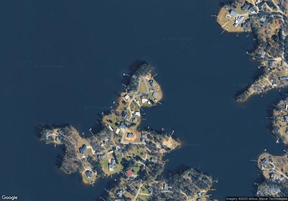
Map
Nearby Homes
- 1459 Bombing Range Rd
- 1233 Shull Island Rd
- 1223 Shull Island Rd
- 1317 Shore Rd
- 1305 Rock Island Rd
- 180 Lillian St
- 1148 Shull Island Rd
- 116 Aloha Ct
- 417 Dot Ct
- 0 Misty Cir Unit 566318
- 1324 Sundown Ct
- 421 & 0 Shore Rd
- 148 Pintail Lake Dr
- 449 Lake Estate Dr
- 157 Blue Wing Dr
- 115 Pointe Overlook Dr
- 124 Bowyer Ln
- 249 Pointe Overlook Dr
- 274 Pintail Lake Dr
- 1 Downing Cir
- 1524 Bombing Range Rd
- 1533 Bombing Range Rd
- 1541 Bombing Range Rd
- 1538 Bombing Range Rd
- 1525 Bombing Range Rd
- 1516 Bombing Range Rd
- 1502 Bombing Range Rd
- 1542 Bombing Range Rd
- 1552 Bombing Range Rd
- 1468 Bombing Range Rd
- 1548 Bombing Range Rd
- 1610 Bombing Range Ct
- 1464 Bombing Range Rd
- 1459 & 1457 Bombing Range Rd
- 1616 Bombing Range Ct
- 1456 Bombing Range Rd
- 1621 Bombing Range Ct
- 1613 Bombing Range Ct
- 1450 Bombing Range Rd
- 1453 Bombing Range Rd
Your Personal Tour Guide
Ask me questions while you tour the home.