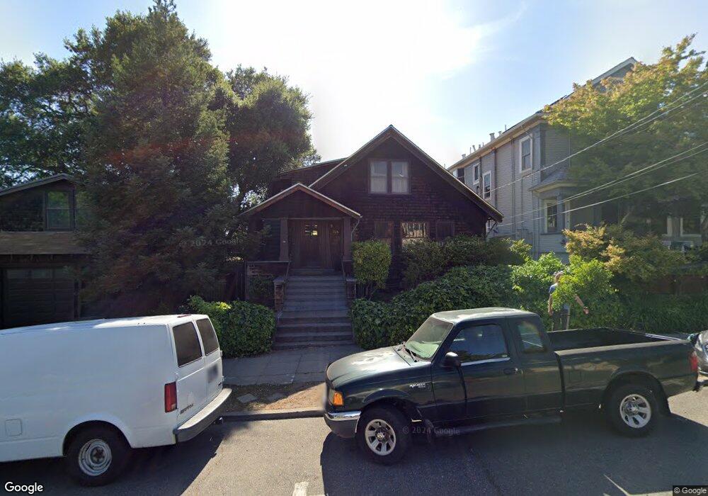
1526 Grant St Berkeley, CA 94703
North Berkeley NeighborhoodEstimated Value: $1,197,000 - $2,077,000
3
Beds
3
Baths
2,436
Sq Ft
$661/Sq Ft
Est. Value
About This Home
This home is located at 1526 Grant St, Berkeley, CA 94703 and is currently estimated at $1,610,129, approximately $660 per square foot. 1526 Grant St is a home located in Alameda County with nearby schools including Berkeley Arts Magnet at Whittier School, Ruth Acty Elementary, and Thousand Oaks Elementary School.
Ownership History
Date
Name
Owned For
Owner Type
Purchase Details
Closed on
Nov 16, 2023
Sold by
John M Boss M and John Hollister M
Bought by
John M Boss And Hollister M Boss Revocable Tr and Boss
Current Estimated Value
Purchase Details
Closed on
Jun 3, 2015
Sold by
Boss John M and Boss Hollister M
Bought by
John M Boss & Hollister M Boss Trust
Create a Home Valuation Report for This Property
The Home Valuation Report is an in-depth analysis detailing your home's value as well as a comparison with similar homes in the area
Home Values in the Area
Average Home Value in this Area
Purchase History
| Date | Buyer | Sale Price | Title Company |
|---|---|---|---|
| John M Boss And Hollister M Boss Revocable Tr | -- | None Listed On Document | |
| John M Boss & Hollister M Boss Trust | -- | None Available | |
| Boss John M | -- | None Available |
Source: Public Records
Tax History Compared to Growth
Tax History
| Year | Tax Paid | Tax Assessment Tax Assessment Total Assessment is a certain percentage of the fair market value that is determined by local assessors to be the total taxable value of land and additions on the property. | Land | Improvement |
|---|---|---|---|---|
| 2025 | $7,058 | $148,884 | $58,842 | $97,042 |
| 2024 | $7,058 | $145,829 | $57,689 | $95,140 |
| 2023 | $6,806 | $149,833 | $56,558 | $93,275 |
| 2022 | $6,520 | $139,895 | $55,449 | $91,446 |
| 2021 | $6,466 | $137,015 | $54,362 | $89,653 |
| 2020 | $5,902 | $142,538 | $53,804 | $88,734 |
| 2019 | $5,422 | $139,745 | $52,750 | $86,995 |
| 2018 | $5,258 | $137,005 | $51,715 | $85,290 |
| 2017 | $5,043 | $134,319 | $50,701 | $83,618 |
| 2016 | $4,699 | $131,685 | $49,707 | $81,978 |
| 2015 | $4,600 | $129,708 | $48,961 | $80,747 |
| 2014 | $4,453 | $121,168 | $48,002 | $73,166 |
Source: Public Records
Map
Nearby Homes
- 1521 Josephine St
- 1609 Bonita Ave Unit 3
- 1609 Bonita Ave Unit 5
- 1610 Milvia St
- 1850 Berryman St
- 1300 Martin Luther King Junior Way
- 1907 McGee Ave
- 1906 Bonita Ave
- 1512 Walnut St
- 1296 Monterey Ave
- 1444 Walnut St
- 2117 Delaware St Unit B
- 1929 California St
- 1614 Posen Ave
- 1682 Oxford St
- 1436 Delaware St
- 1833 Sonoma Ave
- 2201 Virginia St Unit 2