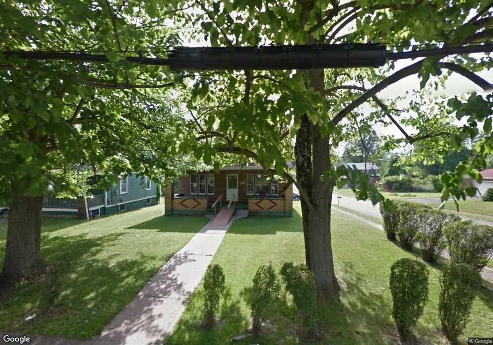
1526 Jacobs Rd Youngstown, OH 44505
McGuffey Heights NeighborhoodEstimated Value: $58,270 - $91,000
4
Beds
1
Bath
1,483
Sq Ft
$55/Sq Ft
Est. Value
About This Home
This home is located at 1526 Jacobs Rd, Youngstown, OH 44505 and is currently estimated at $81,818, approximately $55 per square foot. 1526 Jacobs Rd is a home located in Mahoning County with nearby schools including M.L. King Elementary School, Williamson Elementary School, and East High School.
Ownership History
Date
Name
Owned For
Owner Type
Purchase Details
Closed on
Jun 21, 2016
Sold by
Massengile Andrea Y
Bought by
Massengile Vernon C
Current Estimated Value
Purchase Details
Closed on
Jun 14, 2016
Sold by
Estate Of Audrey Massengile
Bought by
Massengile Andrea Y and Massengile Vernon C
Purchase Details
Closed on
Jul 17, 1968
Bought by
Massengile Otis
Create a Home Valuation Report for This Property
The Home Valuation Report is an in-depth analysis detailing your home's value as well as a comparison with similar homes in the area
Home Values in the Area
Average Home Value in this Area
Purchase History
| Date | Buyer | Sale Price | Title Company |
|---|---|---|---|
| Massengile Vernon C | -- | Attorney | |
| Massengile Andrea Y | -- | Attorney | |
| Massengile Otis | -- | -- |
Source: Public Records
Tax History Compared to Growth
Tax History
| Year | Tax Paid | Tax Assessment Tax Assessment Total Assessment is a certain percentage of the fair market value that is determined by local assessors to be the total taxable value of land and additions on the property. | Land | Improvement |
|---|---|---|---|---|
| 2024 | $385 | $8,040 | $600 | $7,440 |
| 2023 | $382 | $8,040 | $600 | $7,440 |
| 2022 | $186 | $2,850 | $520 | $2,330 |
| 2021 | $178 | $2,850 | $520 | $2,330 |
| 2020 | $179 | $2,850 | $520 | $2,330 |
| 2019 | $187 | $2,640 | $480 | $2,160 |
| 2018 | $189 | $2,640 | $480 | $2,160 |
| 2017 | $198 | $2,640 | $480 | $2,160 |
| 2016 | $211 | $3,230 | $480 | $2,750 |
| 2015 | $206 | $3,230 | $480 | $2,750 |
| 2014 | $205 | $3,230 | $480 | $2,750 |
| 2013 | $202 | $3,230 | $480 | $2,750 |
Source: Public Records
Map
Nearby Homes
- 1214 Brighton St
- 1720 Jacobs Rd
- 2051 Blair Ave
- 1003 Liberty Rd
- 2951 Megan Cir
- 2831 Benford Ln
- V/L Jacobs Rd
- 2954 Megan Cir
- 1325 Miami Ave
- 902 Miami St
- 665 Wendemere Dr
- 1538 Republic Ave
- 227 Greeley Ln
- 405 Drake Ave
- 663 Meadowland Dr
- 566 Sunshine Ave
- 366 Westview Ave
- 0 Homestead Rd
- 71 Duncan Ln
- 5843 Fairlawn Ave
- 1520 Jacobs Rd
- 1602 Jacobs Rd
- 1612 Jacobs Rd
- 2971 Edgar Ave
- 1519 Jacobs Rd
- 2974 Edgar Ave
- 1515 Jacobs Rd
- 2972 Edgar Ave
- 1622 Jacobs Rd
- 1609 Jacobs Rd
- 1628 Jacobs Rd
- 2937 Northwood Ave
- 1331 Jacobs Rd
- 1623 Jacobs Rd
- 1320 Jacobs Rd
- 2939 Edgar Ave
- 1638 Jacobs Rd
- 2944 Edgar Ave
- 1330 Hanover St
- 2974 Northwood Ave