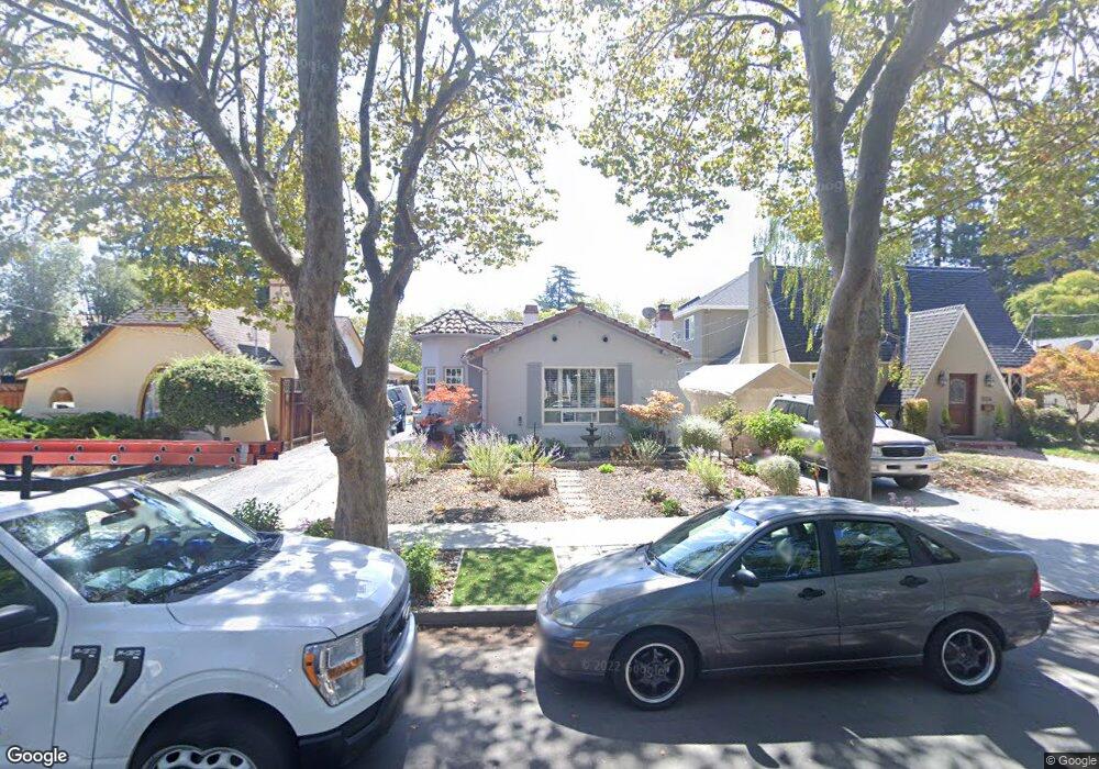
1526 Mcdaniel Ave San Jose, CA 95126
Rose Garden NeighborhoodEstimated Value: $1,490,000 - $1,559,184
3
Beds
2
Baths
1,307
Sq Ft
$1,170/Sq Ft
Est. Value
About This Home
This home is located at 1526 Mcdaniel Ave, San Jose, CA 95126 and is currently estimated at $1,529,546, approximately $1,170 per square foot. 1526 Mcdaniel Ave is a home located in Santa Clara County with nearby schools including Merritt Trace Elementary, Herbert Hoover Middle School, and Abraham Lincoln High.
Ownership History
Date
Name
Owned For
Owner Type
Purchase Details
Closed on
Sep 4, 2025
Sold by
Funk Family 2006 Trust and Funk Linda Sue
Bought by
Silverrock Holdings Inc
Current Estimated Value
Home Financials for this Owner
Home Financials are based on the most recent Mortgage that was taken out on this home.
Original Mortgage
$1,363,100
Outstanding Balance
$1,358,338
Interest Rate
6.72%
Mortgage Type
New Conventional
Estimated Equity
$171,208
Purchase Details
Closed on
Oct 17, 2006
Sold by
Funk H Donald and Funk Linda Sue
Bought by
Funk H Donald and Funk Linda Sue
Create a Home Valuation Report for This Property
The Home Valuation Report is an in-depth analysis detailing your home's value as well as a comparison with similar homes in the area
Home Values in the Area
Average Home Value in this Area
Purchase History
| Date | Buyer | Sale Price | Title Company |
|---|---|---|---|
| Silverrock Holdings Inc | $1,500,000 | Wfg National Title | |
| Funk H Donald | -- | None Available |
Source: Public Records
Mortgage History
| Date | Status | Borrower | Loan Amount |
|---|---|---|---|
| Open | Silverrock Holdings Inc | $1,363,100 |
Source: Public Records
Tax History
| Year | Tax Paid | Tax Assessment Tax Assessment Total Assessment is a certain percentage of the fair market value that is determined by local assessors to be the total taxable value of land and additions on the property. | Land | Improvement |
|---|---|---|---|---|
| 2025 | $2,894 | $123,213 | $31,386 | $91,827 |
| 2024 | $2,894 | $120,798 | $30,771 | $90,027 |
| 2023 | $2,796 | $118,430 | $30,168 | $88,262 |
| 2022 | $2,771 | $116,109 | $29,577 | $86,532 |
| 2021 | $2,657 | $113,834 | $28,998 | $84,836 |
| 2020 | $2,549 | $112,668 | $28,701 | $83,967 |
| 2019 | $2,469 | $110,460 | $28,139 | $82,321 |
| 2018 | $2,421 | $108,295 | $27,588 | $80,707 |
| 2017 | $2,385 | $106,173 | $27,048 | $79,125 |
| 2016 | $2,248 | $104,092 | $26,518 | $77,574 |
| 2015 | $2,216 | $102,529 | $26,120 | $76,409 |
| 2014 | $1,801 | $100,522 | $25,609 | $74,913 |
Source: Public Records
Map
Nearby Homes
- 1508 W Hedding St
- 1481 W Hedding St
- 1484 Rosecrest Terrace
- 711 Emerson Ct
- 1519 Burrell Ct
- 819 Morse St
- 1555 Calaveras Ave
- 1190 Emory St
- 1490 Davis St
- 664 Morse St
- 668 Morse St
- 1915 Bel Air Ave
- 1317 Hester Ave
- 139 Brooklyn Ave
- 1718 Hester Ave
- 1935 Walnut Grove Ave
- 2469 Olive Ave
- 1660 Hanchett Ave
- 1915 Heatherdale Ave
- 2004 Cherrystone Dr
- 1518 Mcdaniel Ave
- 1534 Mcdaniel Ave
- 1510 Mcdaniel Ave
- 1550 Mcdaniel Ave
- 1500 Mcdaniel Ave
- 1554 Mcdaniel Ave
- 1529 Naglee Ave
- 1535 Naglee Ave
- 1492 Mcdaniel Ave
- 1558 Mcdaniel Ave
- 1515 Naglee Ave
- 1551 Naglee Ave
- 1525 Naglee Ave
- 1527 Mcdaniel Ave
- 1535 Mcdaniel Ave
- 1519 Mcdaniel Ave
- 1511 Naglee Ave
- 1565 Naglee Ave
- 1543 Mcdaniel Ave
- 1511 Mcdaniel Ave
Your Personal Tour Guide
Ask me questions while you tour the home.