1526 Memorial Dr Conroe, TX 77304
Estimated Value: $302,000 - $361,000
Studio
2
Baths
2,027
Sq Ft
$163/Sq Ft
Est. Value
About This Home
This home is located at 1526 Memorial Dr, Conroe, TX 77304 and is currently estimated at $330,904, approximately $163 per square foot. 1526 Memorial Dr is a home located in Montgomery County with nearby schools including Giesinger Elementary School, Cryar Intermediate School, and Peet Junior High School.
Ownership History
Date
Name
Owned For
Owner Type
Purchase Details
Closed on
Apr 7, 2006
Sold by
Perry Lyn and Perry Martina Dianne
Bought by
Eddings Kenneth L and Eddings Sharon
Current Estimated Value
Home Financials for this Owner
Home Financials are based on the most recent Mortgage that was taken out on this home.
Original Mortgage
$109,600
Outstanding Balance
$62,437
Interest Rate
6.21%
Mortgage Type
Fannie Mae Freddie Mac
Estimated Equity
$268,467
Purchase Details
Closed on
May 3, 2002
Sold by
Palmer Boisen Robert
Bought by
Perry Lyn and Perry Martina Dianne
Home Financials for this Owner
Home Financials are based on the most recent Mortgage that was taken out on this home.
Original Mortgage
$121,191
Interest Rate
7.11%
Mortgage Type
FHA
Create a Home Valuation Report for This Property
The Home Valuation Report is an in-depth analysis detailing your home's value as well as a comparison with similar homes in the area
Home Values in the Area
Average Home Value in this Area
Purchase History
| Date | Buyer | Sale Price | Title Company |
|---|---|---|---|
| Eddings Kenneth L | -- | Stewart Title Of Montgomery | |
| Perry Lyn | -- | Chicago Title |
Source: Public Records
Mortgage History
| Date | Status | Borrower | Loan Amount |
|---|---|---|---|
| Open | Eddings Kenneth L | $109,600 | |
| Previous Owner | Perry Lyn | $121,191 |
Source: Public Records
Tax History
| Year | Tax Paid | Tax Assessment Tax Assessment Total Assessment is a certain percentage of the fair market value that is determined by local assessors to be the total taxable value of land and additions on the property. | Land | Improvement |
|---|---|---|---|---|
| 2025 | $3,304 | $241,506 | $28,980 | $212,526 |
| 2024 | $2,916 | $245,377 | -- | -- |
| 2023 | $2,916 | $223,070 | $28,980 | $248,400 |
| 2022 | $4,206 | $202,790 | $28,980 | $201,070 |
| 2021 | $4,030 | $184,350 | $28,980 | $155,370 |
| 2020 | $4,206 | $184,350 | $28,980 | $155,370 |
| 2019 | $4,268 | $183,040 | $28,980 | $154,060 |
| 2018 | $4,219 | $204,090 | $28,980 | $175,110 |
| 2017 | $4,778 | $204,090 | $28,980 | $175,110 |
| 2016 | $4,450 | $190,080 | $28,980 | $168,400 |
| 2015 | $3,291 | $172,800 | $28,980 | $144,220 |
| 2014 | $3,291 | $148,000 | $28,980 | $119,020 |
Source: Public Records
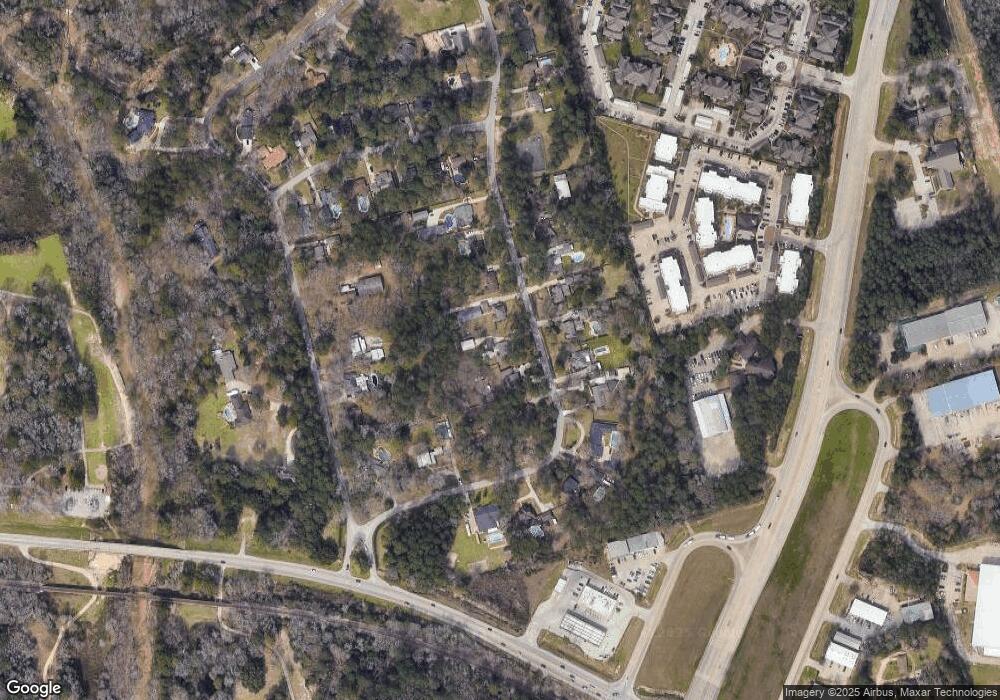
Map
Nearby Homes
- 1555 Oconnor Dr
- 1957 Ogrady Dr
- 3&4 Broadmoor Ct
- 4813 W Fork Blvd
- 211 Garden W
- 4787 Jackson Square Dr
- 4770 Jackson Square Dr
- 215 Garden Rd W
- 1523 Cafe Dumonde
- 2037 Vanamen Ct
- 319 Falling Pine Dr
- 1622 Beau Rivage
- 200 Broken Bough Ln
- 1538 Cafe Dumonde
- 112 Broken Bough Ln
- 109 Timberside Dr
- 112 Timberside Dr
- 74 Oak Grove Ln
- 5030-1 W Davis St
- 1623 Cafe Dumonde
- 1522 Memorial Dr
- 1530 Memorial Dr
- 1534 Memorial Dr
- 1527 Memorial Dr
- 1512 Memorial Dr
- 1523 Memorial Dr
- 1531 Memorial Dr
- 1508 Memorial Dr
- 1538 Memorial Dr
- 1519 Memorial Dr
- 1535 Memorial Dr
- 1539 Memorial Dr
- 1504 Memorial Dr
- 1985 Ogrady Dr
- 1515 Memorial Dr
- 1540 Memorial Dr
- 1989 Ogrady Dr
- 1979 Ogrady Dr
- 1511 Memorial Dr
- 1993 Ogrady Dr
Your Personal Tour Guide
Ask me questions while you tour the home.