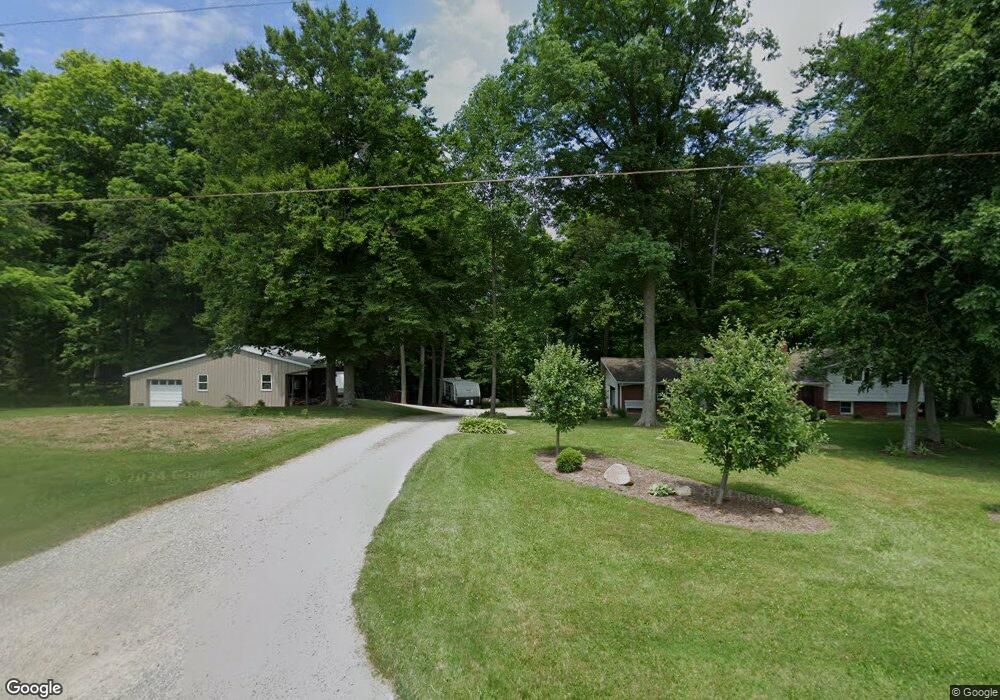
1526 Sterling Rd Creston, OH 44217
Estimated Value: $266,000 - $361,000
4
Beds
2
Baths
1,920
Sq Ft
$160/Sq Ft
Est. Value
About This Home
This home is located at 1526 Sterling Rd, Creston, OH 44217 and is currently estimated at $306,691, approximately $159 per square foot. 1526 Sterling Rd is a home located in Wayne County with nearby schools including Norwayne Elementary School, Norwayne Middle School, and Norwayne High School.
Ownership History
Date
Name
Owned For
Owner Type
Purchase Details
Closed on
Oct 3, 2016
Sold by
Mcdermott Mark D and Mcdermott Emily A
Bought by
Mcdermott Mark D and Mcdermott Emily A
Current Estimated Value
Home Financials for this Owner
Home Financials are based on the most recent Mortgage that was taken out on this home.
Original Mortgage
$135,200
Outstanding Balance
$63,369
Interest Rate
3.46%
Mortgage Type
New Conventional
Estimated Equity
$243,322
Purchase Details
Closed on
May 21, 2010
Sold by
Reese Pauline R
Bought by
Mcdermott Mark D and Doll Emily A
Home Financials for this Owner
Home Financials are based on the most recent Mortgage that was taken out on this home.
Original Mortgage
$148,006
Interest Rate
5.3%
Purchase Details
Closed on
May 20, 2010
Sold by
Reese Pauline R
Bought by
Mcdermott Mark D and Doll Emily A
Home Financials for this Owner
Home Financials are based on the most recent Mortgage that was taken out on this home.
Original Mortgage
$148,006
Interest Rate
5.3%
Create a Home Valuation Report for This Property
The Home Valuation Report is an in-depth analysis detailing your home's value as well as a comparison with similar homes in the area
Purchase History
| Date | Buyer | Sale Price | Title Company |
|---|---|---|---|
| Mcdermott Mark D | -- | Title Works Ltd | |
| Mcdermott Mark D | -- | -- | |
| Mcdermott Mark D | -- | -- |
Source: Public Records
Mortgage History
| Date | Status | Borrower | Loan Amount |
|---|---|---|---|
| Open | Mcdermott Mark D | $135,200 | |
| Closed | Mcdermott Mark D | $148,006 | |
| Closed | Mcdermott Mark D | $148,006 |
Source: Public Records
Tax History Compared to Growth
Tax History
| Year | Tax Paid | Tax Assessment Tax Assessment Total Assessment is a certain percentage of the fair market value that is determined by local assessors to be the total taxable value of land and additions on the property. | Land | Improvement |
|---|---|---|---|---|
| 2024 | $2,924 | $78,900 | $24,480 | $54,420 |
| 2023 | $2,944 | $78,900 | $24,480 | $54,420 |
| 2022 | $2,376 | $57,600 | $17,870 | $39,730 |
| 2021 | $2,397 | $57,600 | $17,870 | $39,730 |
| 2020 | $2,410 | $57,600 | $17,870 | $39,730 |
| 2019 | $1,895 | $46,640 | $16,540 | $30,100 |
| 2018 | $1,904 | $46,640 | $16,540 | $30,100 |
| 2017 | $1,841 | $46,640 | $16,540 | $30,100 |
| 2016 | $1,815 | $44,840 | $15,900 | $28,940 |
| 2015 | $1,792 | $44,840 | $15,900 | $28,940 |
| 2014 | $1,809 | $44,840 | $15,900 | $28,940 |
| 2013 | $1,886 | $45,420 | $15,520 | $29,900 |
Source: Public Records
Map
Nearby Homes
- 210 Evergreen Dr
- 747 Britton Rd
- 124 Garden St
- 0 Burbank St
- 128 Burbank St
- 112 Brooklyn Ave
- 147 N Main St
- 150 N Main St
- 5913 Stuckey Rd
- 155 Sterling St
- 7908 Garman Rd
- 5000 Doylestown Rd
- 131 Mill St
- 9791 Hulbert Rd
- 9376 Daniels Rd
- 3345 W West Salem Rd
- 9250 Daniels Rd
- 9770 Wooster Pike Rd
- 6760 Spruce St
- 0 Cemetery Rd
- 7 E Sterling Rd
- 2 E Sterling Rd
- 1 E Sterling Rd
- 1444 Sterling Rd
- 1444 Sterling Rd
- 1618 Sterling Rd
- 1364 Sterling Rd
- 1286 Sterling Rd
- 13455 Canaan Center Rd
- 1794 Sterling Rd
- 1248 Sterling Rd
- 13077 Canaan Center Rd
- 1894 Sterling Rd
- 1949 Sterling Rd
- 1949 Sterling Rd
- 13040 Canaan Center Rd
- 1985 Sterling Rd
- 13684 Canaan Center Rd
- 2128 Sterling Rd
- 12970 Oller Rd