Estimated Value: $326,000 - $369,000
3
Beds
3
Baths
1,428
Sq Ft
$245/Sq Ft
Est. Value
About This Home
This home is located at 1526 Tuttle Rd, Mason, MI 48854 and is currently estimated at $350,443, approximately $245 per square foot. 1526 Tuttle Rd is a home located in Ingham County with nearby schools including Mason High School.
Ownership History
Date
Name
Owned For
Owner Type
Purchase Details
Closed on
Jul 11, 2025
Sold by
Tropp Matthew S and Tropp Susan M
Bought by
Tropp Matthew S and Tropp Susan M
Current Estimated Value
Purchase Details
Closed on
Jul 8, 2020
Sold by
Farero Richard Eugene and Farero Richard E
Bought by
Tropp Matthew S and Tropp Susan M
Home Financials for this Owner
Home Financials are based on the most recent Mortgage that was taken out on this home.
Original Mortgage
$176,000
Interest Rate
3.1%
Mortgage Type
New Conventional
Purchase Details
Closed on
Jan 14, 2016
Sold by
Fargo Elizabeth and Dufuid Elizabeth H
Bought by
Farero Richard E
Home Financials for this Owner
Home Financials are based on the most recent Mortgage that was taken out on this home.
Original Mortgage
$152,500
Interest Rate
3.97%
Mortgage Type
New Conventional
Purchase Details
Closed on
Aug 15, 2013
Sold by
Farero Elizabeth Helen
Bought by
Farero Richard Eugene
Create a Home Valuation Report for This Property
The Home Valuation Report is an in-depth analysis detailing your home's value as well as a comparison with similar homes in the area
Home Values in the Area
Average Home Value in this Area
Purchase History
We collect this data history from publicly available records. To have your information removed, we recommend requesting removal directly through your county’s website.
| Date | Buyer | Sale Price | Title Company |
|---|---|---|---|
| Tropp Matthew S | -- | None Listed On Document | |
| Tropp Matthew S | $220,000 | Independent Title Svcs Inc | |
| Farero Richard E | -- | Transnation Title Agency Of | |
| Farero Richard Eugene | -- | None Available |
Source: Public Records
Mortgage History
We collect this data history from publicly available records. To have your information removed, we recommend requesting removal directly through your county’s website.
| Date | Status | Borrower | Loan Amount |
|---|---|---|---|
| Previous Owner | Tropp Matthew S | $176,000 | |
| Previous Owner | Farero Richard E | $152,500 |
Source: Public Records
Tax History
| Year | Tax Paid | Tax Assessment Tax Assessment Total Assessment is a certain percentage of the fair market value that is determined by local assessors to be the total taxable value of land and additions on the property. | Land | Improvement |
|---|---|---|---|---|
| 2025 | $5,241 | $155,950 | $42,350 | $113,600 |
| 2024 | $30 | $143,900 | $37,950 | $105,950 |
| 2023 | $4,908 | $129,150 | $35,500 | $93,650 |
| 2022 | $4,691 | $119,450 | $34,650 | $84,800 |
| 2021 | $4,580 | $117,250 | $30,750 | $86,500 |
| 2020 | $3,207 | $103,800 | $30,750 | $73,050 |
| 2019 | $3,148 | $98,100 | $27,900 | $70,200 |
| 2018 | $3,159 | $97,350 | $26,750 | $70,600 |
| 2017 | $2,636 | $95,100 | $26,000 | $69,100 |
| 2016 | -- | $91,900 | $25,250 | $66,650 |
| 2015 | -- | $86,750 | $50,301 | $36,449 |
| 2014 | -- | $85,250 | $48,560 | $36,690 |
Source: Public Records
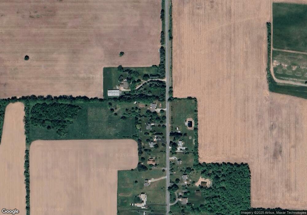
Map
Nearby Homes
- 0 Hull Rd
- 5 W Barnes Rd
- 0 W Barnes Rd
- 2474 Tomlinson Rd
- 2185 W Barnes Rd
- 668 S College Rd
- 914 Carom Cir Unit 158
- 1002 Carom Cir
- 974 Franklin Farm Dr
- 607 Carom Cir
- 965 Franklin Farm Dr
- 934 Franklin Farm Dr
- 799 Alta St
- 935 Franklin Farm Dr Unit 29
- 847 Warner Ave
- 202 Mable Ct
- 300 S College Rd
- 296 S College Rd
- 606 Peachtree Place
- 501 Middlebury Ln
Your Personal Tour Guide
Ask me questions while you tour the home.