15266 Trask Rd Thompson, OH 44086
Estimated Value: $204,015 - $273,000
3
Beds
1
Bath
1,224
Sq Ft
$197/Sq Ft
Est. Value
About This Home
This home is located at 15266 Trask Rd, Thompson, OH 44086 and is currently estimated at $241,504, approximately $197 per square foot. 15266 Trask Rd is a home located in Geauga County.
Ownership History
Date
Name
Owned For
Owner Type
Purchase Details
Closed on
Jun 2, 2021
Sold by
Nortunen William E and Nortunen Geraldine M
Bought by
Nortunen Penelope Marie and Harris Jonathon Laurence
Current Estimated Value
Home Financials for this Owner
Home Financials are based on the most recent Mortgage that was taken out on this home.
Original Mortgage
$156,610
Outstanding Balance
$141,791
Interest Rate
2.9%
Mortgage Type
FHA
Estimated Equity
$99,713
Purchase Details
Closed on
Jan 1, 1990
Bought by
Nortunen William E
Create a Home Valuation Report for This Property
The Home Valuation Report is an in-depth analysis detailing your home's value as well as a comparison with similar homes in the area
Home Values in the Area
Average Home Value in this Area
Purchase History
| Date | Buyer | Sale Price | Title Company |
|---|---|---|---|
| Nortunen Penelope Marie | $15,670,000 | First Source Title Agency | |
| Nortunen Penelope Marie | -- | None Listed On Document | |
| Nortunen William E | -- | -- |
Source: Public Records
Mortgage History
| Date | Status | Borrower | Loan Amount |
|---|---|---|---|
| Open | Nortunen Penelope Marie | $156,610 | |
| Closed | Nortunen Penelope Marie | $156,610 |
Source: Public Records
Tax History Compared to Growth
Tax History
| Year | Tax Paid | Tax Assessment Tax Assessment Total Assessment is a certain percentage of the fair market value that is determined by local assessors to be the total taxable value of land and additions on the property. | Land | Improvement |
|---|---|---|---|---|
| 2024 | $1,641 | $50,060 | $6,690 | $43,370 |
| 2023 | $1,641 | $50,060 | $6,690 | $43,370 |
| 2022 | $1,329 | $38,930 | $5,640 | $33,290 |
| 2021 | $1,328 | $38,930 | $5,640 | $33,290 |
| 2020 | $1,357 | $38,930 | $5,640 | $33,290 |
| 2019 | $1,120 | $34,590 | $5,640 | $28,950 |
| 2018 | $1,214 | $34,590 | $5,640 | $28,950 |
| 2017 | $1,120 | $34,590 | $5,640 | $28,950 |
| 2016 | $940 | $30,950 | $5,640 | $25,310 |
| 2015 | $900 | $30,950 | $5,640 | $25,310 |
| 2014 | $900 | $30,950 | $5,640 | $25,310 |
| 2013 | $915 | $30,950 | $5,640 | $25,310 |
Source: Public Records
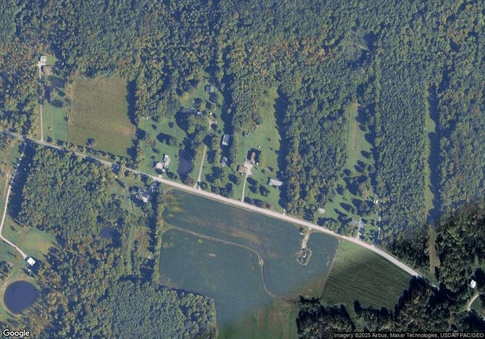
Map
Nearby Homes
- TBD Brockway Rd
- TBD Brockway Rd
- 0 Balch Rd Unit 5097587
- 6916 Dewey Rd
- 16107 Moseley Rd
- 6042 Ford Rd
- 5810 Dewey Rd
- 6696 Madison Rd
- 5040 River Rd
- 5004 River Rd
- 4571 River Rd
- 15744 Rock Creek Rd
- 16940 Thompson Rd
- 5210 Blair Rd
- 4255 River Rd
- V/L Painesville-Warren Rd
- 12888 Leroy Center Rd
- 4532 S Ridge Rd
- VL 15 Acres Madison Rd
- 12745 Carter Rd
- 15256 Trask Rd
- 15230 Trask Rd
- 15204 Trask Rd
- 15201 Trask Rd
- 15330 Trask Rd
- 14795 Trask Rd
- 15390 Trask Rd
- 15405 Trask Rd
- 14725 Trask Rd
- 14724 Trask Rd
- 15432 Trask Rd
- 14711 Trask Rd
- 14714 Trask Rd
- 15506 Trask Rd
- 15462 Trask Rd
- 14686 Trask Rd
- 15541 Trask Rd
- 15555 Trask Rd
- 15202 Leroy Rd
- 14677 Leroy Center Rd