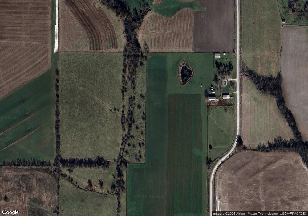
1527 203rd Ave West Point, IA 52656
Estimated Value: $213,000 - $358,961
--
Bed
1
Bath
1,456
Sq Ft
$198/Sq Ft
Est. Value
About This Home
This home is located at 1527 203rd Ave, West Point, IA 52656 and is currently estimated at $288,740, approximately $198 per square foot. 1527 203rd Ave is a home located in Lee County with nearby schools including Fort Madison High School and Holy Trinity Catholic Elementary-St. Paul.
Create a Home Valuation Report for This Property
The Home Valuation Report is an in-depth analysis detailing your home's value as well as a comparison with similar homes in the area
Home Values in the Area
Average Home Value in this Area
Tax History Compared to Growth
Tax History
| Year | Tax Paid | Tax Assessment Tax Assessment Total Assessment is a certain percentage of the fair market value that is determined by local assessors to be the total taxable value of land and additions on the property. | Land | Improvement |
|---|---|---|---|---|
| 2024 | $3,108 | $241,080 | $43,870 | $197,210 |
| 2023 | $2,950 | $241,080 | $43,870 | $197,210 |
| 2022 | $2,522 | $178,810 | $33,510 | $145,300 |
| 2021 | $2,522 | $178,810 | $33,510 | $145,300 |
| 2020 | $2,412 | $166,010 | $31,690 | $134,320 |
| 2019 | $2,326 | $166,010 | $31,690 | $134,320 |
| 2018 | $2,402 | $173,400 | $0 | $0 |
| 2017 | $2,402 | $166,690 | $0 | $0 |
| 2016 | $2,100 | $166,690 | $0 | $0 |
| 2015 | $2,100 | $171,730 | $0 | $0 |
| 2014 | $2,092 | $171,730 | $0 | $0 |
Source: Public Records
Map
Nearby Homes
- 1794 150th St
- 2280 Windmill Way
- 607 Bel Air Dr
- 811 Avenue C
- 2257 Burt Rd
- 00 180th St
- 2113 204th Ave
- 808 Park St
- 603 Fruit St
- 808 Pershing St
- 720 Pershing St
- 115 Lynn St
- 219 Dewey Ave
- 1847 Salem Rd
- 1405 Primrose Rd
- 2229 235th St
- 307 E School St
- 3035 New London Rd
- 2657 Clearview Heights Rd
- 2532 305th St