1527 Highway 44 Harlan, IA 51537
Estimated Value: $676,000 - $1,262,079
6
Beds
9
Baths
3,761
Sq Ft
$258/Sq Ft
Est. Value
About This Home
This home is located at 1527 Highway 44, Harlan, IA 51537 and is currently estimated at $969,040, approximately $257 per square foot. 1527 Highway 44 is a home located in Shelby County with nearby schools including Harlan Primary School, Harlan Intermediate School, and Harlan Community Middle School.
Ownership History
Date
Name
Owned For
Owner Type
Purchase Details
Closed on
Jul 12, 2007
Sold by
Boeck Jayne and Boeck Steve
Bought by
Lansman Jeffrey A and Lansman Sandra K
Current Estimated Value
Home Financials for this Owner
Home Financials are based on the most recent Mortgage that was taken out on this home.
Original Mortgage
$474,000
Interest Rate
6.42%
Mortgage Type
Future Advance Clause Open End Mortgage
Create a Home Valuation Report for This Property
The Home Valuation Report is an in-depth analysis detailing your home's value as well as a comparison with similar homes in the area
Home Values in the Area
Average Home Value in this Area
Purchase History
| Date | Buyer | Sale Price | Title Company |
|---|---|---|---|
| Lansman Jeffrey A | -- | None Available |
Source: Public Records
Mortgage History
| Date | Status | Borrower | Loan Amount |
|---|---|---|---|
| Previous Owner | Lansman Jeffrey A | $474,000 |
Source: Public Records
Tax History Compared to Growth
Tax History
| Year | Tax Paid | Tax Assessment Tax Assessment Total Assessment is a certain percentage of the fair market value that is determined by local assessors to be the total taxable value of land and additions on the property. | Land | Improvement |
|---|---|---|---|---|
| 2025 | $20,004 | $1,757,277 | $91,434 | $1,665,843 |
| 2024 | $20,004 | $1,554,981 | $91,434 | $1,463,547 |
| 2023 | $14,354 | $1,415,542 | $91,434 | $1,324,108 |
| 2022 | $14,354 | $1,013,075 | $91,434 | $921,641 |
| 2021 | $12,928 | $1,013,075 | $91,434 | $921,641 |
| 2020 | $12,130 | $911,331 | $91,434 | $819,897 |
| 2019 | $11,872 | $872,288 | $0 | $0 |
| 2018 | $11,574 | $872,288 | $0 | $0 |
| 2017 | $11,574 | $872,288 | $0 | $0 |
| 2016 | $304 | $27,669 | $0 | $0 |
| 2015 | $304 | $240,102 | $0 | $0 |
| 2014 | $2,832 | $247,443 | $0 | $0 |
Source: Public Records
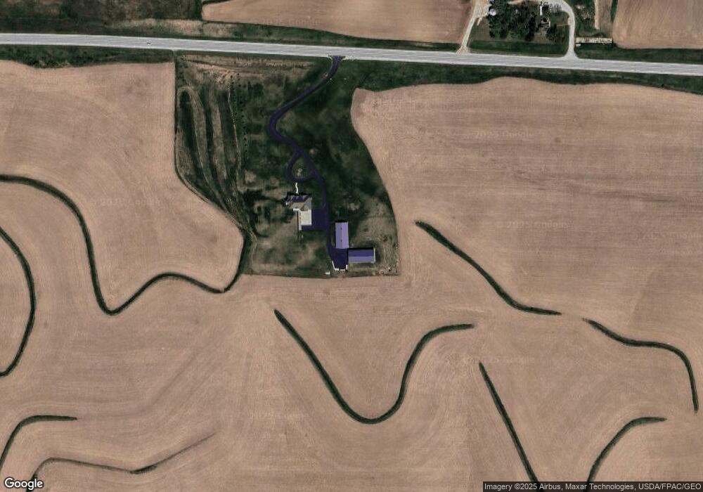
Map
Nearby Homes
- 105 Court St
- 1910 7th St
- 1704 7th St
- 408 Court St
- 1811 8th St
- 512 Cyclone Ave
- 3002 12th St Unit 86
- 806 Baldwin St
- 810 Market St
- 912 Baldwin St
- 1004 Baldwin St
- 1118 Walnut St
- 912 Hill St
- 1218 College Blvd
- 912 Tarkington St
- 1102 Hill St
- 1407 Country Club Dr
- 1109 Cyclone Ave
- 1312 College Blvd
- 1320 Garfield Ave