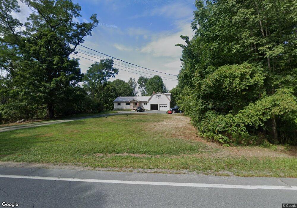
1527 N Littleton Rd Littleton, NH 03561
Estimated Value: $256,000 - $505,000
3
Beds
3
Baths
3,022
Sq Ft
$133/Sq Ft
Est. Value
About This Home
This home is located at 1527 N Littleton Rd, Littleton, NH 03561 and is currently estimated at $400,789, approximately $132 per square foot. 1527 N Littleton Rd is a home located in Grafton County with nearby schools including Mildred C. Lakeway School.
Ownership History
Date
Name
Owned For
Owner Type
Purchase Details
Closed on
May 29, 2009
Sold by
Bartlett Eugene and Bartlett Selma
Bought by
Maltais William A and Maltais Elizabeth J
Current Estimated Value
Home Financials for this Owner
Home Financials are based on the most recent Mortgage that was taken out on this home.
Original Mortgage
$90,000
Outstanding Balance
$57,169
Interest Rate
4.87%
Mortgage Type
Purchase Money Mortgage
Estimated Equity
$343,620
Create a Home Valuation Report for This Property
The Home Valuation Report is an in-depth analysis detailing your home's value as well as a comparison with similar homes in the area
Home Values in the Area
Average Home Value in this Area
Purchase History
| Date | Buyer | Sale Price | Title Company |
|---|---|---|---|
| Maltais William A | $169,000 | -- |
Source: Public Records
Mortgage History
| Date | Status | Borrower | Loan Amount |
|---|---|---|---|
| Open | Maltais William A | $90,000 |
Source: Public Records
Tax History Compared to Growth
Tax History
| Year | Tax Paid | Tax Assessment Tax Assessment Total Assessment is a certain percentage of the fair market value that is determined by local assessors to be the total taxable value of land and additions on the property. | Land | Improvement |
|---|---|---|---|---|
| 2024 | $6,477 | $259,700 | $26,100 | $233,600 |
| 2023 | $5,854 | $259,700 | $26,100 | $233,600 |
| 2022 | $5,989 | $259,700 | $26,100 | $233,600 |
| 2021 | $5,989 | $259,700 | $26,100 | $233,600 |
| 2020 | $44,378 | $259,700 | $26,100 | $233,600 |
| 2019 | $6,542 | $239,000 | $23,500 | $215,500 |
| 2018 | $5,521 | $239,000 | $23,500 | $215,500 |
| 2017 | $4,898 | $189,700 | $20,300 | $169,400 |
| 2016 | $4,915 | $189,700 | $20,300 | $169,400 |
| 2015 | $4,107 | $176,100 | $20,900 | $155,200 |
| 2014 | $3,909 | $176,100 | $20,900 | $155,200 |
| 2013 | $3,955 | $176,100 | $20,900 | $155,200 |
Source: Public Records
Map
Nearby Homes
- 000 N Littleton Rd Unit 42
- 921 Old Waterford Rd
- 0 Old Waterford Rd Unit 28 5059515
- 0 Old Waterford Rd Unit 25534600
- 456 Brickyard Rd
- 295 Old Waterford Rd
- 0 Sugar Wood Ln Unit 8
- 000 Dells Rd Unit 1
- 3681 Shadow Lake Rd
- 45 Point of View Dr
- 99 Girard Rd
- 60-70 Meadow St
- 877 St Johnsbury Rd
- 1247 High Ridge Rd
- 166 Riverside Dr
- 194 Main St
- 93 Pleasant St
- 33 Pleasant St
- 00 Walker Pit Rd
- 0 Walker Pit Rd
- 0 N Littleton Rd
- 0 N Littleton Rd
- 0 N Littleton Rd
- 0 N Littleton Rd
- 0 N Littleton Rd
- 2170 N Littleton Rd
- 0000 N Littleton Rd
- 2139 N Littleton Rd Unit 42
- 2139 N Littleton Rd
- Lot 41 N Littleton Rd
- 00 N Littleton Rd Unit 25
- 1491 N Littleton Rd
- 1587 N Littleton Rd
- 1586 N Littleton Rd
- 19 Perkins Landing Rd
- 2364 Broomstick Hill Rd
- 1407 N Littleton Rd
- 1631 N Littleton Rd
- 1642 N Littleton Rd
- 2375 Broomstick Hill Rd