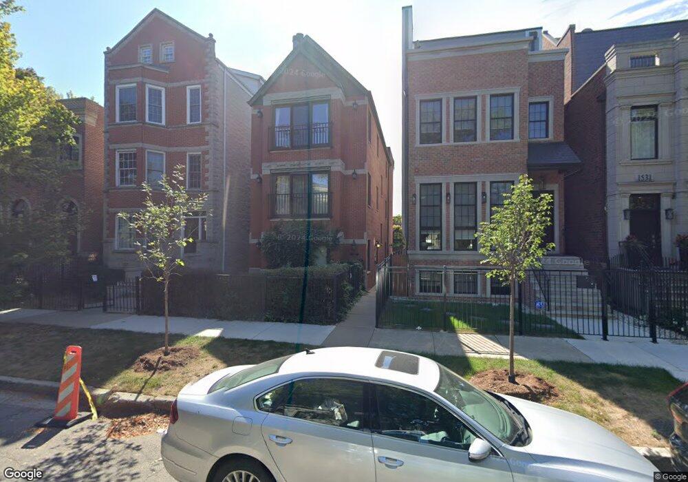
1527 W George St Unit 1 Chicago, IL 60657
Southport Corridor NeighborhoodEstimated Value: $488,000 - $617,504
2
Beds
2
Baths
1,245
Sq Ft
$438/Sq Ft
Est. Value
About This Home
This home is located at 1527 W George St Unit 1, Chicago, IL 60657 and is currently estimated at $545,126, approximately $437 per square foot. 1527 W George St Unit 1 is a home located in Cook County with nearby schools including Augustus H. Burley Elementary School, Lake View High School, and Alphonsus Academy & Center For The Arts.
Ownership History
Date
Name
Owned For
Owner Type
Purchase Details
Closed on
Mar 26, 1996
Sold by
First Bank & Trust Company
Bought by
Rhoades Thomas A
Current Estimated Value
Home Financials for this Owner
Home Financials are based on the most recent Mortgage that was taken out on this home.
Original Mortgage
$152,900
Outstanding Balance
$7,039
Interest Rate
7.12%
Estimated Equity
$538,087
Create a Home Valuation Report for This Property
The Home Valuation Report is an in-depth analysis detailing your home's value as well as a comparison with similar homes in the area
Home Values in the Area
Average Home Value in this Area
Purchase History
| Date | Buyer | Sale Price | Title Company |
|---|---|---|---|
| Rhoades Thomas A | -- | -- |
Source: Public Records
Mortgage History
| Date | Status | Borrower | Loan Amount |
|---|---|---|---|
| Open | Rhoades Thomas A | $152,900 |
Source: Public Records
Tax History Compared to Growth
Tax History
| Year | Tax Paid | Tax Assessment Tax Assessment Total Assessment is a certain percentage of the fair market value that is determined by local assessors to be the total taxable value of land and additions on the property. | Land | Improvement |
|---|---|---|---|---|
| 2024 | $7,318 | $60,571 | $19,373 | $41,198 |
| 2023 | $7,112 | $38,000 | $15,623 | $22,377 |
| 2022 | $7,112 | $38,000 | $15,623 | $22,377 |
| 2021 | $6,972 | $37,999 | $15,623 | $22,376 |
| 2020 | $6,492 | $32,244 | $6,249 | $25,995 |
| 2019 | $6,376 | $35,164 | $6,249 | $28,915 |
| 2018 | $6,267 | $35,164 | $6,249 | $28,915 |
| 2017 | $4,979 | $26,505 | $5,624 | $20,881 |
| 2016 | $4,809 | $26,505 | $5,624 | $20,881 |
| 2015 | $4,376 | $26,505 | $5,624 | $20,881 |
| 2014 | $4,234 | $25,388 | $4,582 | $20,806 |
| 2013 | $4,139 | $25,388 | $4,582 | $20,806 |
Source: Public Records
Map
Nearby Homes
- 1522 W Wolfram St
- 2851 N Ashland Ave Unit 1S
- 1531 W Oakdale Ave Unit 1
- 1634 W Wolfram St
- 1636 W Wolfram St
- 1437 W Diversey Pkwy Unit 1E
- 3003 N Ashland Ave
- 1710 W Surf St Unit 41
- 2923 N Southport Ave Unit 3
- 2923 N Southport Ave Unit 4
- 1712 W Surf St Unit 40
- 1712 W Diversey Pkwy Unit 1
- 2662 N Ashland Ave
- 2958 N Lincoln Ave Unit 3A
- 2720 N Greenview Ave Unit L
- 2754 N Paulina St Unit 2754
- 1325 W George St Unit 1
- 3037 N Lincoln Ave Unit 301
- 3037 N Lincoln Ave Unit PH-05
- 3037 N Lincoln Ave Unit 304
- 1527 W George St Unit 3
- 1527 W George St Unit 2
- 1525 W George St Unit 1
- 1525 W George St Unit 2
- 1525 W George St Unit 3
- 1529 W George St
- 1531 W George St
- 1533 W George St
- 1519 W George St
- 1537 W George St
- 1517 W George St
- 1539 W George St
- 1539 W George St
- 1515 W George St
- 1541 W George St
- 1511 W George St
- 1526 W Wolfram St
- 1528 W Wolfram St
- 1530 W Wolfram St