152786 Long Prairie Dr La Pine, OR 97739
Estimated Value: $1,232,943
3
Beds
2
Baths
3,224
Sq Ft
$382/Sq Ft
Est. Value
About This Home
This home is located at 152786 Long Prairie Dr, La Pine, OR 97739 and is currently estimated at $1,232,943, approximately $382 per square foot. 152786 Long Prairie Dr is a home located in Klamath County with nearby schools including Gilchrist Elementary School and Gilchrist Junior/Senior High School.
Ownership History
Date
Name
Owned For
Owner Type
Purchase Details
Closed on
Sep 28, 2015
Sold by
Amlie Mayer Gene and Amlie Mayer Heidi
Bought by
Amlie Mayer Gene E and Amlie Mayer Heidi K
Current Estimated Value
Purchase Details
Closed on
Mar 16, 2015
Sold by
U S Bank Trust National Association
Bought by
Amlie Mayer Gene and Amlie Mayer Heidi
Home Financials for this Owner
Home Financials are based on the most recent Mortgage that was taken out on this home.
Original Mortgage
$157,000
Outstanding Balance
$119,622
Interest Rate
3.54%
Mortgage Type
New Conventional
Estimated Equity
$1,113,321
Purchase Details
Closed on
Oct 17, 2014
Sold by
Cox Thomas C and Cox Lisa M
Bought by
U S Bank National Association
Purchase Details
Closed on
Mar 14, 2008
Sold by
Cox Lisa M
Bought by
Cox C and Cox Lisa M
Purchase Details
Closed on
Jan 10, 2003
Sold by
Wood G Lee and Wood Joyce L
Bought by
Cox Lisa M
Create a Home Valuation Report for This Property
The Home Valuation Report is an in-depth analysis detailing your home's value as well as a comparison with similar homes in the area
Home Values in the Area
Average Home Value in this Area
Purchase History
| Date | Buyer | Sale Price | Title Company |
|---|---|---|---|
| Amlie Mayer Gene E | -- | None Available | |
| Amlie Mayer Gene | $357,000 | Amerititle | |
| U S Bank National Association | -- | Fidelity National Title Co | |
| Cox C | -- | Accommodation | |
| Cox Lisa M | -- | None Available |
Source: Public Records
Mortgage History
| Date | Status | Borrower | Loan Amount |
|---|---|---|---|
| Open | Amlie Mayer Gene | $157,000 |
Source: Public Records
Tax History Compared to Growth
Tax History
| Year | Tax Paid | Tax Assessment Tax Assessment Total Assessment is a certain percentage of the fair market value that is determined by local assessors to be the total taxable value of land and additions on the property. | Land | Improvement |
|---|---|---|---|---|
| 2024 | $2,507 | $225,400 | -- | -- |
| 2023 | $2,412 | $225,400 | $0 | $0 |
| 2022 | $2,349 | $212,470 | $0 | $0 |
| 2021 | $2,281 | $206,290 | $0 | $0 |
| 2020 | $2,213 | $200,290 | $0 | $0 |
| 2019 | $2,160 | $194,460 | $0 | $0 |
| 2018 | $2,099 | $188,800 | $0 | $0 |
| 2017 | $2,049 | $183,310 | $0 | $0 |
| 2016 | $1,996 | $177,980 | $0 | $0 |
| 2015 | $1,943 | $172,800 | $0 | $0 |
| 2014 | -- | $167,770 | $0 | $0 |
| 2013 | -- | $162,890 | $0 | $0 |
Source: Public Records
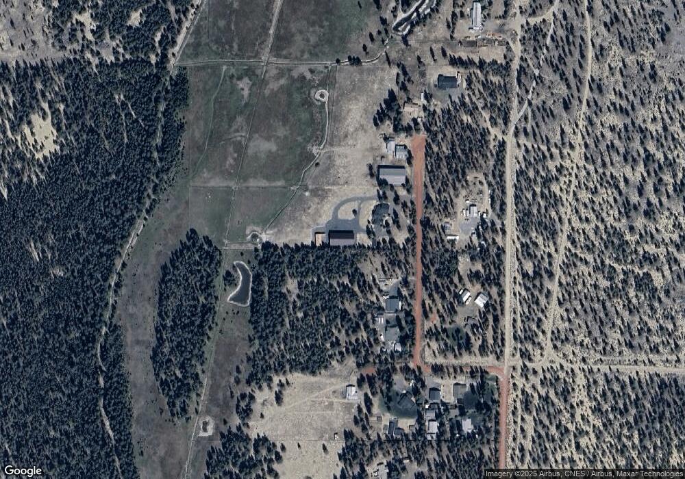
Map
Nearby Homes
- 152898 Long Prairie Dr
- 50450 Highway 31
- 150385 Jerry Rd
- 16672 Pine Creek Dr
- 51791 Morning Pine Dr Unit 137
- 149471 Midstate Rd
- 6634 Randy Rd
- 156468 Beal Rd
- 50808 S Huntington Rd
- 51460 Pengra St
- 0 Tl 09300 Buggy Whip Ct Unit 10 220194293
- 0 Stirrup Dr Unit Lot 15 220194508
- 0 Stirrup Dr Unit Lot 20 220194510
- 0 Stirrup Dr Unit Lot 11 220194505
- 0 Stirrup Dr Unit Lot 12 220194504
- 0 Stirrup Dr Unit Lot 17 220194509
- 0 Stirrup Dr Unit Lot 13 220194506
- 0 Tl 08700 Stirrup Dr Unit 16
- 0 Tl 09700 Buggy Whip Ct Unit 6 220194296
- 0 Tl 10600 Concho Ct Unit 2 220194291
- 152786 Long Prairie Dr
- 152789 Long Prairie Ct
- 152789 Long Prairie Dr
- 152680 Long Prairie Dr
- 152674 Long Prairie Dr
- 152674 Long Prairie Dr
- 152671 Long Prairie Ct
- 152671 Long Prairie Dr
- 152895 Long Prairie Dr
- 152556 Long Prairie Ct
- 152562 Long Prairie Ct
- 0 Long Prairie Dr Unit 696714
- 0 Long Prairie Dr Unit 2204996
- 0 Long Prairie Dr Unit 201206397
- 0 Long Prairie Dr Unit 201510190
- 0 Long Prairie Dr Unit 9076311
- 0 Long Prairie Dr Unit 9076286
- 0 Long Prairie Dr Unit 300 15677395
- 152556 Long Prairie Dr