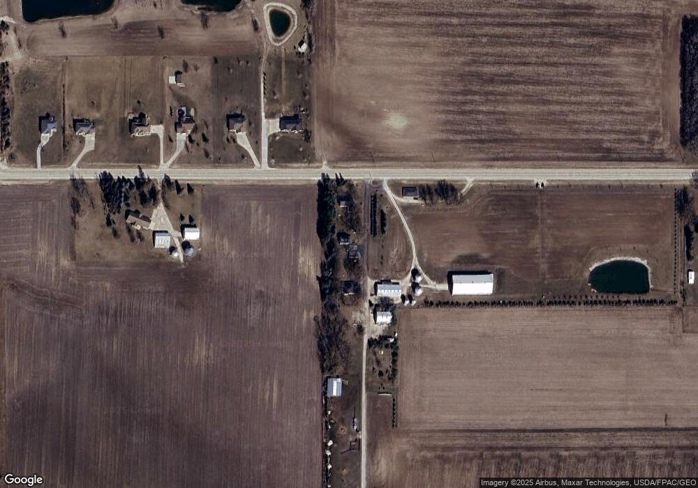
1528 220th St Independence, IA 50644
Estimated Value: $236,078 - $661,000
4
Beds
4
Baths
1,762
Sq Ft
$213/Sq Ft
Est. Value
About This Home
This home is located at 1528 220th St, Independence, IA 50644 and is currently estimated at $376,020, approximately $213 per square foot. 1528 220th St is a home located in Buchanan County with nearby schools including West Elementary School, East Elementary School, and Independence Junior/Senior High School.
Ownership History
Date
Name
Owned For
Owner Type
Purchase Details
Closed on
Mar 24, 2015
Sold by
Temeyer Land & Development Inc
Bought by
Temeyer Jeffrey
Current Estimated Value
Purchase Details
Closed on
Apr 30, 2012
Sold by
Temeyer Joan K
Bought by
Temeyer Land And Development Inc
Create a Home Valuation Report for This Property
The Home Valuation Report is an in-depth analysis detailing your home's value as well as a comparison with similar homes in the area
Home Values in the Area
Average Home Value in this Area
Purchase History
| Date | Buyer | Sale Price | Title Company |
|---|---|---|---|
| Temeyer Jeffrey | -- | None Available | |
| Temeyer Land And Development Inc | -- | None Available |
Source: Public Records
Tax History Compared to Growth
Tax History
| Year | Tax Paid | Tax Assessment Tax Assessment Total Assessment is a certain percentage of the fair market value that is determined by local assessors to be the total taxable value of land and additions on the property. | Land | Improvement |
|---|---|---|---|---|
| 2025 | $1,526 | $165,880 | $1,580 | $164,300 |
| 2024 | $1,526 | $147,170 | $1,290 | $145,880 |
| 2023 | $1,638 | $147,170 | $1,290 | $145,880 |
| 2022 | $1,512 | $119,000 | $990 | $118,010 |
| 2021 | $1,524 | $119,000 | $990 | $118,010 |
| 2020 | $1,524 | $109,450 | $880 | $108,570 |
| 2019 | $1,550 | $109,450 | $880 | $108,570 |
| 2018 | $1,456 | $105,450 | $1,240 | $104,210 |
| 2017 | $1,528 | $105,450 | $1,240 | $104,210 |
| 2016 | $1,498 | $107,720 | $1,370 | $106,350 |
| 2015 | $1,498 | $107,720 | $1,370 | $106,350 |
| 2014 | $1,558 | $108,540 | $2,190 | $106,350 |
Source: Public Records
Map
Nearby Homes
- 1675 Golf Course Blvd Unit 28
- 1841 Golf Course Blvd
- 1771-23 Golf Course Blvd
- 1711-12 Golf Course Blvd
- 1771-12 Golf Course Blvd
- 1789 Golf Course Blvd
- 1771 Golf Course Blvd Unit 3
- 1771 Golf Course Blvd Unit 27
- 1771-17A Golf Course Blvd
- 1749 Golf Course Blvd Unit 39
- 1221 220th St
- 401 Obrien Ct NW
- 713 9th Ave NW
- 2554 Henley Ave
- 818 8th St NW
- 808 5th St NW
- 809 8th St NW
- 1341 12th St
- 1217 220th St
- 1209 220th St
- 1530 220th St
- 1526 220th St
- 1536 220th St
- 1523 220th St
- 1521 220th St
- 1515 220th St
- 1512 220th St
- 1513 220th St
- 1507 220th St
- 1501 220th St
- 1556 220th St
- 1532 220th St
- 2174 Frost Ave
- 2174 Frost Ave Unit 4
- 2174 Frost Ave Unit 3
- 2174 Frost Ave Unit 2
- 2174 Frost Ave Unit 1
- 2243 Gabriel Ave
- 2170 Frost Ave
- 1568 220th St
