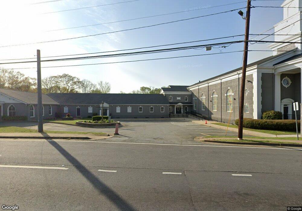
1528 Austell Rd SE Marietta, GA 30008
Estimated Value: $3,187,035
--
Bed
--
Bath
--
Sq Ft
3.53
Acres
About This Home
This home is located at 1528 Austell Rd SE, Marietta, GA 30008 and is currently estimated at $3,187,035. 1528 Austell Rd SE is a home located in Cobb County with nearby schools including Fair Oaks Elementary School, Osborne High School, and International Academy of Smyrna.
Ownership History
Date
Name
Owned For
Owner Type
Purchase Details
Closed on
Oct 21, 2024
Sold by
Eastside Baptist Church Inc
Bought by
Hunger Church Atlanta Inc
Current Estimated Value
Home Financials for this Owner
Home Financials are based on the most recent Mortgage that was taken out on this home.
Original Mortgage
$2,400,000
Outstanding Balance
$2,236,466
Interest Rate
6.2%
Mortgage Type
New Conventional
Estimated Equity
$950,569
Purchase Details
Closed on
May 13, 2019
Sold by
Wright Bob
Bought by
Eastside Baptist Church Inc
Home Financials for this Owner
Home Financials are based on the most recent Mortgage that was taken out on this home.
Original Mortgage
$250,000
Interest Rate
4.1%
Mortgage Type
Commercial
Create a Home Valuation Report for This Property
The Home Valuation Report is an in-depth analysis detailing your home's value as well as a comparison with similar homes in the area
Home Values in the Area
Average Home Value in this Area
Purchase History
| Date | Buyer | Sale Price | Title Company |
|---|---|---|---|
| Hunger Church Atlanta Inc | -- | None Listed On Document | |
| Hunger Church Atlanta Inc | $3,200,000 | None Listed On Document | |
| Eastside Baptist Church Inc | -- | -- |
Source: Public Records
Mortgage History
| Date | Status | Borrower | Loan Amount |
|---|---|---|---|
| Open | Hunger Church Atlanta Inc | $2,400,000 | |
| Previous Owner | Eastside Baptist Church Inc | $250,000 |
Source: Public Records
Tax History Compared to Growth
Tax History
| Year | Tax Paid | Tax Assessment Tax Assessment Total Assessment is a certain percentage of the fair market value that is determined by local assessors to be the total taxable value of land and additions on the property. | Land | Improvement |
|---|---|---|---|---|
| 2025 | $37,481 | $1,243,964 | $320,404 | $923,560 |
| 2024 | -- | $812,786 | $51,360 | $761,426 |
| 2023 | $0 | $812,786 | $51,360 | $761,426 |
| 2022 | $0 | $812,786 | $51,360 | $761,426 |
| 2021 | $0 | $812,786 | $51,360 | $761,426 |
| 2020 | $0 | $812,786 | $51,360 | $761,426 |
| 2019 | $0 | $812,786 | $51,360 | $761,426 |
| 2018 | $0 | $812,786 | $51,360 | $761,426 |
| 2017 | $0 | $812,786 | $51,360 | $761,426 |
| 2016 | -- | $812,786 | $51,360 | $761,426 |
| 2015 | -- | $812,786 | $51,360 | $761,426 |
| 2014 | -- | $0 | $0 | $0 |
Source: Public Records
Map
Nearby Homes
- 55 Cochran Rd SE
- 1631 Knox Dr SE
- 71 Cochran Rd SE
- 95 Cochran Rd SE
- 79 Cochran Rd SE
- 81 Cochran Rd SE
- 121 Dunleith Pkwy SW
- 141 Dunleith Pkwy SW
- 1763 Sandtown Rd SW
- 1230 Oakplace Dr SW
- 235 Keaton St SW Unit A & B
- 235 Keaton St SW
- 150 Creighton Ln
- 1278 Houndslake Dr
- 1840 Judy Cir SE
- 1809 Austell Rd SW
- 105 Grampian Ct Unit 13
- 00 Saine Dr SW
- 1560 Burberry Alley
- 1540 Sandtown Rd SW
- 1521 Sandtown Rd SW
- 1550 Sandtown Rd SW
- 1525 Burberry Alley
- 1533 Burberry Alley Unit Lot 19
- 1537 Burberry Alley Unit Lot 20
- 1855 Austell Rd SE
- 1564 Sandtown Rd SW
- 1541 Burberry Alley
- 00 Olive Springs Rd SE
- 1530 Burberry Alley
- 1535 Austell Rd SE
- 1529 Burberry Alley
- 1518 Burberry Alley
- 1534 Knox Dr SE
- 1521 Burberry Alley
- 1517 Burberry Alley
- 1513 Burberry Alley Unit 14