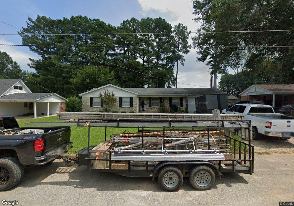
1528 Barker Dr Humboldt, TN 38343
Estimated Value: $140,000 - $165,000
3
Beds
2
Baths
1,562
Sq Ft
$99/Sq Ft
Est. Value
About This Home
This home is located at 1528 Barker Dr, Humboldt, TN 38343 and is currently estimated at $154,656, approximately $99 per square foot. 1528 Barker Dr is a home located in Gibson County with nearby schools including Stigall Primary School, East Elementary School, and Humboldt Middle School.
Ownership History
Date
Name
Owned For
Owner Type
Purchase Details
Closed on
Aug 1, 2012
Sold by
Cain Eddie Nathan
Bought by
Martinez Miguel
Current Estimated Value
Home Financials for this Owner
Home Financials are based on the most recent Mortgage that was taken out on this home.
Original Mortgage
$54,985
Outstanding Balance
$37,649
Interest Rate
3.5%
Mortgage Type
FHA
Estimated Equity
$117,007
Purchase Details
Closed on
Jan 1, 1979
Purchase Details
Closed on
Jan 14, 1964
Bought by
Cain Johnny N and Rosa Ellen
Purchase Details
Closed on
Jan 3, 1900
Create a Home Valuation Report for This Property
The Home Valuation Report is an in-depth analysis detailing your home's value as well as a comparison with similar homes in the area
Home Values in the Area
Average Home Value in this Area
Purchase History
| Date | Buyer | Sale Price | Title Company |
|---|---|---|---|
| Martinez Miguel | $56,000 | -- | |
| -- | $45,000 | -- | |
| Cain Johnny N | -- | -- | |
| -- | -- | -- |
Source: Public Records
Mortgage History
| Date | Status | Borrower | Loan Amount |
|---|---|---|---|
| Open | Martinez Miguel | $54,985 |
Source: Public Records
Tax History Compared to Growth
Tax History
| Year | Tax Paid | Tax Assessment Tax Assessment Total Assessment is a certain percentage of the fair market value that is determined by local assessors to be the total taxable value of land and additions on the property. | Land | Improvement |
|---|---|---|---|---|
| 2025 | $896 | $33,050 | $0 | $0 |
| 2024 | $896 | $33,050 | $5,000 | $28,050 |
| 2023 | $227 | $20,625 | $3,000 | $17,625 |
| 2022 | $213 | $20,625 | $3,000 | $17,625 |
| 2021 | $213 | $20,625 | $3,000 | $17,625 |
| 2020 | $776 | $20,625 | $3,000 | $17,625 |
| 2019 | $776 | $20,625 | $3,000 | $17,625 |
| 2018 | $822 | $20,250 | $3,000 | $17,250 |
| 2017 | $812 | $20,250 | $3,000 | $17,250 |
| 2016 | $787 | $19,625 | $3,000 | $16,625 |
| 2015 | $780 | $19,625 | $3,000 | $16,625 |
| 2014 | $780 | $19,625 | $3,000 | $16,625 |
Source: Public Records
Map
Nearby Homes
- 1549 Eastview Dr
- 1320 Eastview Dr
- 1110 Woodgate Dr
- 3115 Redwood St
- 0 Eastend Dr
- 3117 Laurel St
- 1211 N 29th Ave
- 1012 Parkway Cove
- 1338 Dungan St
- 00000 Lot 7 Mullins St
- 0000 lot 6-C Mullins St
- 000Lot 6-B Mullins St
- 00-lot 6-A Mullins St
- 700 N 29th Ave
- 00 Pleasant Hill St
- 2310 Dodson St
- 2900 E Mitchell St
- 600 Hwy 45 Bypass
- 2508 Vine St
- 604 Hillside Dr