1528 Stardust Dr West Covina, CA 91790
Estimated Value: $875,470 - $926,000
4
Beds
3
Baths
1,940
Sq Ft
$461/Sq Ft
Est. Value
About This Home
This home is located at 1528 Stardust Dr, West Covina, CA 91790 and is currently estimated at $893,618, approximately $460 per square foot. 1528 Stardust Dr is a home located in Los Angeles County with nearby schools including California Elementary School, Edgewood Middle School, and Edgewood High School.
Ownership History
Date
Name
Owned For
Owner Type
Purchase Details
Closed on
May 7, 2021
Sold by
Tsang Benny Hin Chung
Bought by
Au Beverly
Current Estimated Value
Purchase Details
Closed on
May 7, 2020
Sold by
Tsang Benny Hin Chung
Bought by
Au Beverly
Purchase Details
Closed on
Sep 14, 2001
Sold by
Tsang Benny Hin Chung
Bought by
Tsang Benny Hin Chung
Home Financials for this Owner
Home Financials are based on the most recent Mortgage that was taken out on this home.
Original Mortgage
$220,000
Interest Rate
6.99%
Purchase Details
Closed on
Dec 23, 1997
Sold by
Shea Homes Ltd Partnership
Bought by
Tsang Benny Hin Chung
Home Financials for this Owner
Home Financials are based on the most recent Mortgage that was taken out on this home.
Original Mortgage
$189,550
Interest Rate
7.22%
Create a Home Valuation Report for This Property
The Home Valuation Report is an in-depth analysis detailing your home's value as well as a comparison with similar homes in the area
Home Values in the Area
Average Home Value in this Area
Purchase History
| Date | Buyer | Sale Price | Title Company |
|---|---|---|---|
| Au Beverly | -- | Accommodation | |
| Au Beverly | -- | Accommodation/Courtesy Recordi | |
| Tsang Benny Hin Chung | -- | Fidelity Title | |
| Tsang Benny Hin Chung | -- | Fidelity Title | |
| Tsang Benny Hin Chung | $237,000 | Chicago Title |
Source: Public Records
Mortgage History
| Date | Status | Borrower | Loan Amount |
|---|---|---|---|
| Previous Owner | Tsang Benny Hin Chung | $220,000 | |
| Previous Owner | Tsang Benny Hin Chung | $189,550 |
Source: Public Records
Tax History Compared to Growth
Tax History
| Year | Tax Paid | Tax Assessment Tax Assessment Total Assessment is a certain percentage of the fair market value that is determined by local assessors to be the total taxable value of land and additions on the property. | Land | Improvement |
|---|---|---|---|---|
| 2025 | $4,761 | $378,406 | $31,921 | $346,485 |
| 2024 | $4,761 | $370,988 | $31,296 | $339,692 |
| 2023 | $4,525 | $363,715 | $30,683 | $333,032 |
| 2022 | $4,562 | $356,584 | $30,082 | $326,502 |
| 2021 | $4,429 | $349,593 | $29,493 | $320,100 |
| 2020 | $4,446 | $346,009 | $29,191 | $316,818 |
| 2019 | $4,310 | $339,225 | $28,619 | $310,606 |
| 2018 | $4,146 | $332,574 | $28,058 | $304,516 |
| 2016 | $3,781 | $319,662 | $26,969 | $292,693 |
| 2015 | $3,707 | $314,861 | $26,564 | $288,297 |
| 2014 | $3,686 | $308,694 | $26,044 | $282,650 |
Source: Public Records
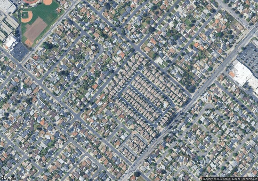
Map
Nearby Homes
- 1528 W Delvale St
- 1828 Stargaze Dr
- 1544 Evanwood Ave
- 1911 W Doublegrove St
- 14421 Flynn St
- 1525 Bromley Ave
- 1816 W Yarnell St
- 1529 Cascade
- 979 Willow Ave Unit 31
- 943 Willow Ave
- 822 Greenberry Dr
- 829 Foxworth Ave
- 1326 Mayland Ave
- 1329 N Stimson Ave
- 717 Sandsprings Dr
- 13926 Janetdale St
- 1027 W Durness St
- 14104 Barrydale St
- 15704 Francisquito Ave
- 1329 S St Malo St
- 1522 Stardust Dr
- 1537 Starburst Dr
- 1525 Starburst Dr
- 1516 Stardust Dr
- 1519 Starburst Dr
- 1523 Stardust Dr
- 1529 Stardust Dr
- 1863 Starfall Dr
- 1508 Stardust Dr
- 1517 Stardust Dr
- 1857 Starfall Dr
- 1905 Starfall Dr
- 1851 Starfall Dr
- 1911 Starfall Dr
- 1509 Stardust Dr
- 1502 Stardust Dr
- 1505 Starburst Dr
- 1845 Starfall Dr
- 1507 Stardust Dr
- 1917 Starfall Dr