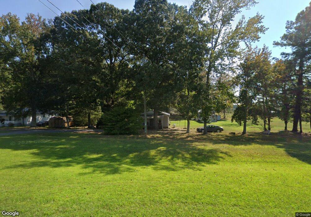
15286 Us Highway 27 Franklin, GA 30217
Estimated Value: $133,083 - $205,000
2
Beds
1
Bath
1,024
Sq Ft
$173/Sq Ft
Est. Value
About This Home
This home is located at 15286 Us Highway 27, Franklin, GA 30217 and is currently estimated at $177,271, approximately $173 per square foot. 15286 Us Highway 27 is a home located in Heard County with nearby schools including Heard County High School.
Ownership History
Date
Name
Owned For
Owner Type
Purchase Details
Closed on
Feb 21, 2020
Sold by
Frazier Devin L
Bought by
Calhoun Daniel Rick
Current Estimated Value
Purchase Details
Closed on
Feb 23, 2001
Sold by
Potts Hal Buford
Bought by
Potts Hal Buford
Purchase Details
Closed on
Feb 12, 1999
Sold by
National Nominee Gro
Bought by
Potts Hal Buford
Purchase Details
Closed on
Dec 18, 1997
Sold by
Southwood Corp
Bought by
National Nominee Gro
Purchase Details
Closed on
Mar 1, 1987
Sold by
Rattlesnake Mtn Co
Bought by
Southwood Corp
Purchase Details
Closed on
Jan 1, 1901
Bought by
Bennett Hester
Create a Home Valuation Report for This Property
The Home Valuation Report is an in-depth analysis detailing your home's value as well as a comparison with similar homes in the area
Home Values in the Area
Average Home Value in this Area
Purchase History
| Date | Buyer | Sale Price | Title Company |
|---|---|---|---|
| Calhoun Daniel Rick | $105,000 | -- | |
| Potts Hal Buford | -- | -- | |
| Potts Hal Buford | $27,500 | -- | |
| National Nominee Gro | $40,400 | -- | |
| Southwood Corp | $259,000 | -- | |
| Rattlesnake Mtn Co | $259,000 | -- | |
| Bennett Hester | -- | -- |
Source: Public Records
Tax History Compared to Growth
Tax History
| Year | Tax Paid | Tax Assessment Tax Assessment Total Assessment is a certain percentage of the fair market value that is determined by local assessors to be the total taxable value of land and additions on the property. | Land | Improvement |
|---|---|---|---|---|
| 2024 | $659 | $34,707 | $3,617 | $31,090 |
| 2023 | $598 | $30,629 | $3,014 | $27,615 |
| 2022 | $583 | $29,948 | $2,000 | $27,948 |
| 2021 | $454 | $22,649 | $2,000 | $20,649 |
| 2020 | $437 | $21,677 | $2,000 | $19,677 |
| 2019 | $437 | $21,677 | $2,000 | $19,677 |
| 2018 | $448 | $19,776 | $2,000 | $17,776 |
| 2017 | $370 | $18,367 | $1,537 | $16,830 |
| 2016 | $370 | $18,367 | $1,537 | $16,830 |
| 2015 | -- | $17,704 | $2,934 | $14,770 |
| 2014 | -- | $17,708 | $2,934 | $14,773 |
| 2013 | -- | $21,249 | $2,934 | $18,315 |
Source: Public Records
Map
Nearby Homes
- 0 Knight Dr
- 0 Joe Cook Rd Unit 4 10550489
- 0 Joe Cook Rd Unit 3 10550484
- 1255 S Bridge Rd
- 262 Jackson Shoals Rd
- 364 Centralhatchee Pkwy
- 1676 Happy Hollow Rd
- 1600 Happy Hollow Rd
- LOT 4 Happy Hollow Rd
- LOT 3 Happy Hollow Rd
- LOT 2 Happy Hollow Rd
- 111 Nelson Rd
- 139 Nelson Rd
- 119 & 139 Nelson Rd
- 359 Gray Rd
- 417 Gray Rd
- 10 Avery Rd
- 0 Welcome Rd Unit TRACT 3
- 12439 U S 27
- 1238 Goshen Church Rd
- 15150 Us Highway 27
- 15486 Us Highway 27
- O Us Hwy 27 & Joe Cook Rd
- 1565 Joe Cook Rd
- 15459 Us Highway 27
- 1247 Joe Cook Rd
- 16560 Us Highway 27
- 184 Dunson Shoals Rd
- 244 Dunson Shoals Rd
- 15030 Us Highway 27
- 1503 Joe Cook Rd
- 85 Dunson Shoals Rd
- 166 Dunson Shoals Rd
- 14958 Us Highway 27
- 14958 Us Highway 27
- 84 Water Tower Rd
- 55 Joe Cook Rd
- 175 Dunson Shoals Rd
- 390 Dunson Shoals Rd
- 1430 Joe Cook Rd