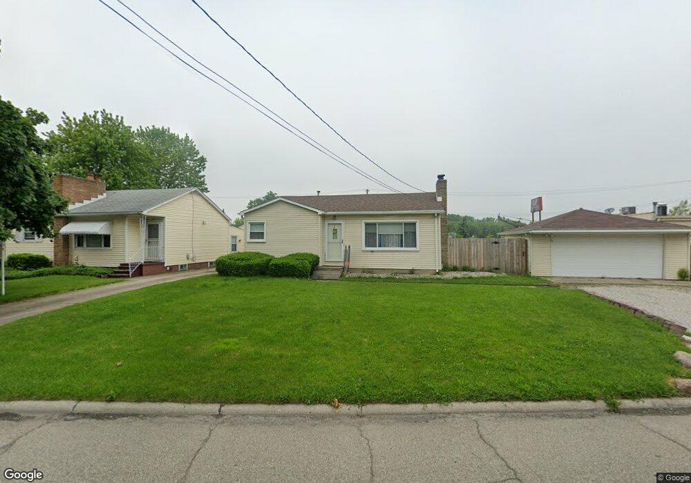
1529 Dixie Dr Monroe, MI 48162
Northeast Monroe NeighborhoodEstimated Value: $169,000 - $181,600
3
Beds
1
Bath
922
Sq Ft
$191/Sq Ft
Est. Value
About This Home
This home is located at 1529 Dixie Dr, Monroe, MI 48162 and is currently estimated at $175,900, approximately $190 per square foot. 1529 Dixie Dr is a home located in Monroe County with nearby schools including Monroe High School, St Mary's Catholic Elementary School, and Trinity Lutheran School.
Ownership History
Date
Name
Owned For
Owner Type
Purchase Details
Closed on
May 9, 2001
Sold by
Wilson Milo
Bought by
Foshag Terra
Current Estimated Value
Home Financials for this Owner
Home Financials are based on the most recent Mortgage that was taken out on this home.
Original Mortgage
$96,390
Outstanding Balance
$35,965
Interest Rate
7.02%
Mortgage Type
VA
Estimated Equity
$139,935
Purchase Details
Closed on
Mar 29, 1996
Sold by
Moore John E
Bought by
Wilson Milo D and Wilson Jennifer L
Home Financials for this Owner
Home Financials are based on the most recent Mortgage that was taken out on this home.
Original Mortgage
$67,218
Interest Rate
7.75%
Mortgage Type
VA
Create a Home Valuation Report for This Property
The Home Valuation Report is an in-depth analysis detailing your home's value as well as a comparison with similar homes in the area
Home Values in the Area
Average Home Value in this Area
Purchase History
| Date | Buyer | Sale Price | Title Company |
|---|---|---|---|
| Foshag Terra | $94,500 | -- | |
| Wilson Milo D | $65,900 | -- |
Source: Public Records
Mortgage History
| Date | Status | Borrower | Loan Amount |
|---|---|---|---|
| Open | Foshag Terra | $96,390 | |
| Previous Owner | Wilson Milo D | $67,218 |
Source: Public Records
Tax History
| Year | Tax Paid | Tax Assessment Tax Assessment Total Assessment is a certain percentage of the fair market value that is determined by local assessors to be the total taxable value of land and additions on the property. | Land | Improvement |
|---|---|---|---|---|
| 2025 | $1,108 | $78,600 | $78,600 | $0 |
| 2024 | $1,058 | $68,710 | $0 | $0 |
| 2023 | $1,011 | $53,110 | $0 | $0 |
| 2022 | $1,288 | $53,110 | $0 | $0 |
| 2021 | $1,244 | $48,940 | $0 | $0 |
| 2020 | $1,159 | $38,940 | $0 | $0 |
| 2019 | $1,099 | $38,940 | $0 | $0 |
| 2018 | $1,067 | $31,820 | $0 | $0 |
| 2017 | $1,046 | $31,820 | $0 | $0 |
| 2016 | $1,020 | $32,830 | $0 | $0 |
| 2015 | $979 | $25,610 | $0 | $0 |
| 2014 | $979 | $25,610 | $0 | $0 |
| 2013 | -- | $24,850 | $0 | $0 |
Source: Public Records
Map
Nearby Homes
- 1008 Maple Ave
- 910 Maple Blvd
- 623 Maywood Ave
- 942 Elliot St
- 434 Arbor Ave
- 1310 Arbor Ave
- 422 Lapoint Ave
- 603 Scottwood Ave
- 504 Rosewood Ave
- 1333 Riverview Ave
- VACANT Nadeau
- 012 Frenchtown Center Dr
- 011 Frenchtown Center Dr
- 229 Michigan Ave
- 465 Riverview Ave
- 1605 Arbor Ave
- 23 Linswood Dr
- 714 Bethpage Ct
- 230 E Grove St
- 303 E Lorain St
- 1523 Dixie Dr
- 1515 Dixie Dr
- 1055 Detroit Ave
- 0 Dixie Unit 4917602
- 0 Dixie Unit 20010717
- 0 Dixie Unit 20092158
- 0 Dixie Unit 214045309
- 1505 Dixie Dr
- 1516 Dixie Dr
- 1027 Detroit Ave
- 1510 Dixie Dr
- 1030 Harbor Ave
- 1029 Harbor Ave
- O N Dixie
- 0 N Dixie Unit 212005313
- 0 N Dixie Unit 57050163061
- 0 N Dixie Unit 57050163062
- 0 N Dixie Unit R215105794
- 1018 Harbor Ave
- 1017 Detroit Ave
Your Personal Tour Guide
Ask me questions while you tour the home.