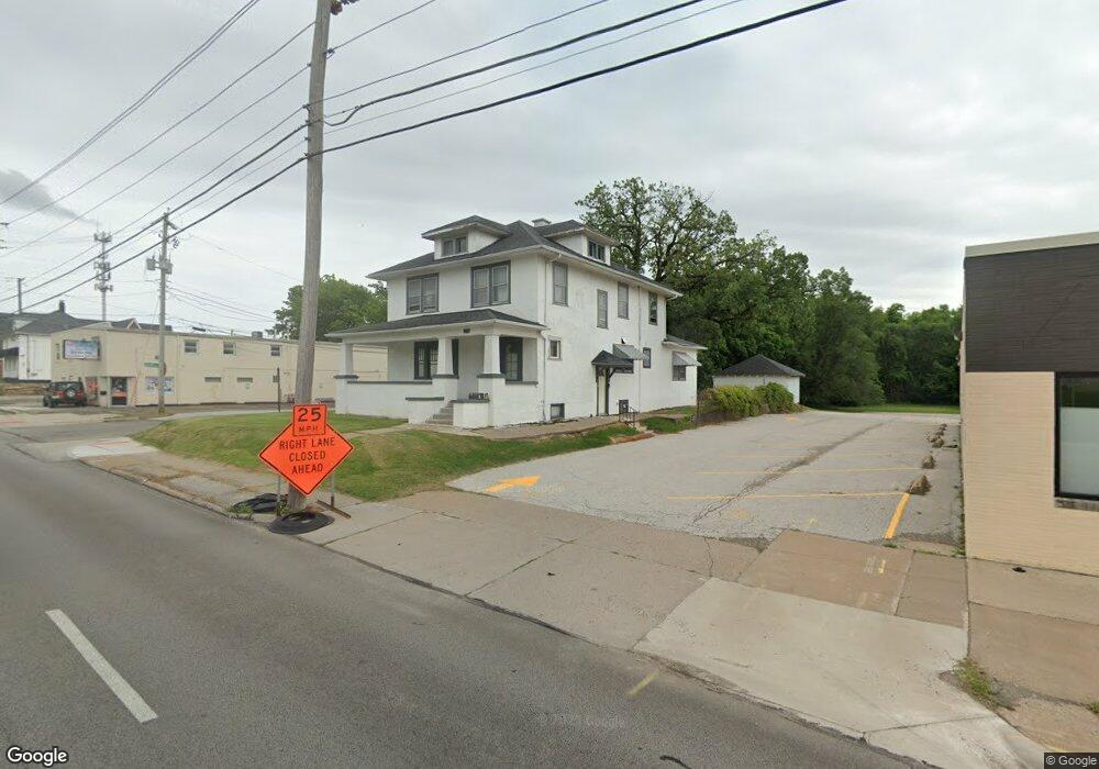
1529 E Locust St Davenport, IA 52803
East End NeighborhoodEstimated Value: $122,000 - $143,000
4
Beds
2
Baths
2,218
Sq Ft
$58/Sq Ft
Est. Value
About This Home
This home is located at 1529 E Locust St, Davenport, IA 52803 and is currently estimated at $127,987, approximately $57 per square foot. 1529 E Locust St is a home located in Scott County with nearby schools including Caverna Elementary School, Casey County Middle School, and Hopkinsville Middle School.
Ownership History
Date
Name
Owned For
Owner Type
Purchase Details
Closed on
Feb 9, 2021
Sold by
Shima Paul F and Shima Theresa A
Bought by
Paul F Shima Revocable Trust and Theresa A Shima Revocable Trust
Current Estimated Value
Purchase Details
Closed on
May 29, 2009
Sold by
Northwest Bank & Trust Company
Bought by
Shima Paul F and Shima Theresa A
Create a Home Valuation Report for This Property
The Home Valuation Report is an in-depth analysis detailing your home's value as well as a comparison with similar homes in the area
Home Values in the Area
Average Home Value in this Area
Purchase History
| Date | Buyer | Sale Price | Title Company |
|---|---|---|---|
| Paul F Shima Revocable Trust | -- | None Listed On Document | |
| Shima Paul F | $56,000 | None Available |
Source: Public Records
Tax History Compared to Growth
Tax History
| Year | Tax Paid | Tax Assessment Tax Assessment Total Assessment is a certain percentage of the fair market value that is determined by local assessors to be the total taxable value of land and additions on the property. | Land | Improvement |
|---|---|---|---|---|
| 2025 | $1,658 | $92,820 | $17,730 | $75,090 |
| 2024 | $1,618 | $92,820 | $17,730 | $75,090 |
| 2023 | $1,696 | $92,820 | $17,730 | $75,090 |
| 2022 | $1,704 | $79,410 | $10,640 | $68,770 |
| 2021 | $1,704 | $79,410 | $10,640 | $68,770 |
| 2020 | $1,266 | $75,790 | $10,640 | $65,150 |
| 2019 | $1,308 | $58,280 | $10,640 | $47,640 |
| 2018 | $1,222 | $58,280 | $10,640 | $47,640 |
| 2017 | $309 | $55,640 | $10,640 | $45,000 |
| 2016 | $1,218 | $55,640 | $0 | $0 |
| 2015 | $1,218 | $56,550 | $0 | $0 |
| 2014 | $1,256 | $56,550 | $0 | $0 |
| 2013 | $1,234 | $0 | $0 | $0 |
| 2012 | -- | $59,080 | $12,240 | $46,840 |
Source: Public Records
Map
Nearby Homes
- 1626 Esplanade Ave
- 1616 Esplanade Ave
- 2125 Eastern Ave
- 1310 Kirkwood Blvd
- 1325 Mississippi Ave
- 1501 Bridge Ave
- 1233 Eastern Ave
- 1202 Adams St
- 1504 Christie St
- 1920 Carey Ave
- 2103 E Lombard St
- 1220 College Ave
- 1020 E 15th St
- 1803 Belle Ave
- 1815 Belle Ave
- 2316 E Pleasant St
- 2316 East St
- 1102 College Ave
- 1605 Arlington Ave
- 1603 Arlington Ave
- 1601 E Locust St
- 1803 Adams St
- 1806 Eastern Ave
- 1607 E Locust St
- 1807 Mississippi Ave
- 1715 Adams St
- 1801 Mississippi Ave
- 1711 Mississippi Ave
- 1710 Eastern Ave
- 1707 Mississippi Ave
- 1621 Adams St
- 1703 Mississippi Ave
- 1704 Eastern Ave
- 1704 E Locust St
- 1629 Mississippi Ave
- 1616 Eastern Ave
- 1911 Eastern Ave
- 1812 Mississippi Ave
- 1623 Mississippi Ave
- 1712 E Locust St