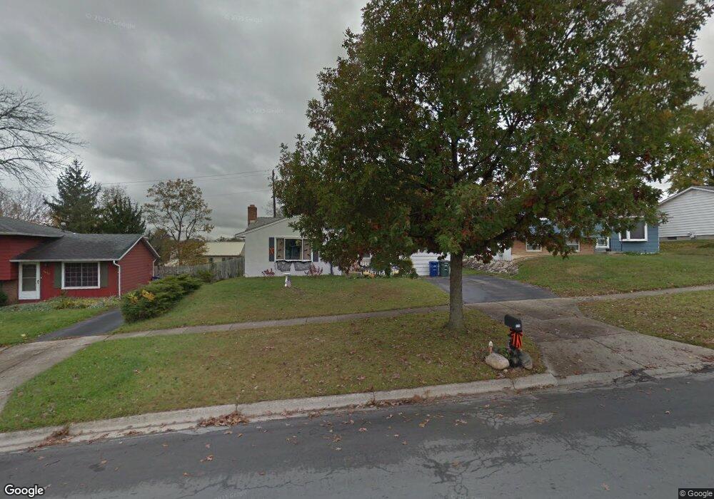
1529 Riverbend Rd Columbus, OH 43223
Riverbend NeighborhoodEstimated Value: $174,000 - $234,000
3
Beds
1
Bath
964
Sq Ft
$211/Sq Ft
Est. Value
About This Home
This home is located at 1529 Riverbend Rd, Columbus, OH 43223 and is currently estimated at $202,935, approximately $210 per square foot. 1529 Riverbend Rd is a home located in Franklin County with nearby schools including James A Harmon Elementary School, Franklin Woods Intermediate School, and Finland Middle School.
Ownership History
Date
Name
Owned For
Owner Type
Purchase Details
Closed on
Jun 23, 1999
Sold by
Ritchie Diane Garrett
Bought by
Garrett Ritchie and Garrett Diane
Current Estimated Value
Purchase Details
Closed on
Nov 27, 1978
Bought by
Garrett Ritchie
Create a Home Valuation Report for This Property
The Home Valuation Report is an in-depth analysis detailing your home's value as well as a comparison with similar homes in the area
Home Values in the Area
Average Home Value in this Area
Purchase History
| Date | Buyer | Sale Price | Title Company |
|---|---|---|---|
| Garrett Ritchie | -- | -- | |
| Garrett Ritchie | -- | -- |
Source: Public Records
Tax History
| Year | Tax Paid | Tax Assessment Tax Assessment Total Assessment is a certain percentage of the fair market value that is determined by local assessors to be the total taxable value of land and additions on the property. | Land | Improvement |
|---|---|---|---|---|
| 2025 | $2,189 | $60,030 | $16,910 | $43,120 |
| 2024 | $2,189 | $60,030 | $16,910 | $43,120 |
| 2023 | $2,150 | $60,030 | $16,910 | $43,120 |
| 2022 | $1,821 | $37,310 | $10,080 | $27,230 |
| 2021 | $1,857 | $37,310 | $10,080 | $27,230 |
| 2020 | $1,847 | $37,310 | $10,080 | $27,230 |
| 2019 | $1,704 | $30,380 | $8,400 | $21,980 |
| 2018 | $1,582 | $30,380 | $8,400 | $21,980 |
| 2017 | $1,578 | $30,380 | $8,400 | $21,980 |
| 2016 | $1,468 | $24,260 | $4,870 | $19,390 |
| 2015 | $1,468 | $24,260 | $4,870 | $19,390 |
| 2014 | $1,469 | $24,260 | $4,870 | $19,390 |
| 2013 | $809 | $26,915 | $5,390 | $21,525 |
Source: Public Records
Map
Nearby Homes
- 1380 Sunflower Dr
- 1706-1708 River Bend Rd
- 1341 S Hague Ave
- 1641 Greenville Rd
- 3438 High Creek Dr
- 2856 Chesfield Dr
- 1657 Ripplebrook Rd
- 2929 Briggs Rd
- 3206 Andy Terrace
- 1168 Racine Ave
- 0 Glencreek Rd
- 2975 Crocker Run Rd
- 1147 Parma Ave
- 1490 Demorest Rd
- 3029 Rosedale Ave
- 2600 Plainview Ave
- 3586 Alkire Rd
- 2255 Harrisburg Pike
- 1830 Winding Hollow Dr
- 3585 Alkire Rd
- 1521 Riverbend Rd
- 1537 Riverbend Rd
- 1537 River Bend Rd
- 1644 Tall Meadows Dr
- 1515 Riverbend Rd
- 1650 Tall Meadows Dr
- 1545 River Bend Rd
- 1545 Riverbend Rd
- 1507 River Bend Rd
- 1639 Tall Meadows Dr
- 1507 Riverbend Rd
- 1638 Tall Meadows Dr
- 1534 Riverbend Rd
- 1551 Riverbend Rd
- 1534 River Bend Rd
- 1526 Riverbend Rd
- 1518 River Bend Rd
- 1546 Riverbend Rd
- 1518 Riverbend Rd
- 1633 Tall Meadows Dr