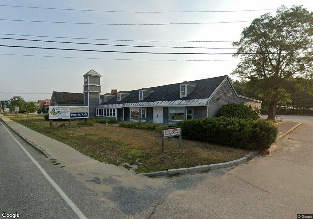
1529 White Mountain Hwy North Conway, NH 03860
--
Bed
--
Bath
--
Sq Ft
1
Acres
About This Home
This home is located at 1529 White Mountain Hwy, North Conway, NH 03860. 1529 White Mountain Hwy is a home located in Carroll County with nearby schools including A. Crosby Kennett Middle School, Kennett High School, and Robert Frost Charter School.
Ownership History
Date
Name
Owned For
Owner Type
Purchase Details
Closed on
Apr 3, 2006
Sold by
Green Granite Lp
Bought by
Lafham Developers Llc
Home Financials for this Owner
Home Financials are based on the most recent Mortgage that was taken out on this home.
Original Mortgage
$825,000
Outstanding Balance
$473,004
Interest Rate
6.32%
Create a Home Valuation Report for This Property
The Home Valuation Report is an in-depth analysis detailing your home's value as well as a comparison with similar homes in the area
Home Values in the Area
Average Home Value in this Area
Purchase History
| Date | Buyer | Sale Price | Title Company |
|---|---|---|---|
| Lafham Developers Llc | $755,000 | -- |
Source: Public Records
Mortgage History
| Date | Status | Borrower | Loan Amount |
|---|---|---|---|
| Open | Lafham Developers Llc | $325,000 | |
| Open | Lafham Developers Llc | $825,000 |
Source: Public Records
Tax History Compared to Growth
Tax History
| Year | Tax Paid | Tax Assessment Tax Assessment Total Assessment is a certain percentage of the fair market value that is determined by local assessors to be the total taxable value of land and additions on the property. | Land | Improvement |
|---|---|---|---|---|
| 2024 | $9,446 | $749,700 | $525,200 | $224,500 |
| 2023 | $8,592 | $749,700 | $525,200 | $224,500 |
| 2022 | $12,968 | $676,100 | $475,200 | $200,900 |
| 2021 | $11,047 | $676,100 | $475,200 | $200,900 |
| 2020 | $12,623 | $676,100 | $475,200 | $200,900 |
| 2019 | $11,710 | $676,100 | $475,200 | $200,900 |
| 2018 | $12,625 | $570,500 | $369,600 | $200,900 |
| 2017 | $11,415 | $571,300 | $369,600 | $201,700 |
| 2016 | $11,032 | $571,300 | $369,600 | $201,700 |
| 2015 | $10,906 | $571,300 | $369,600 | $201,700 |
| 2014 | $10,775 | $571,300 | $369,600 | $201,700 |
| 2013 | $10,078 | $564,300 | $362,600 | $201,700 |
Source: Public Records
Map
Nearby Homes
- 70 Wylie Ct Unit 15
- 42 Wylie Ct Unit 9
- 42 Wylie Ct Unit 6
- 42 Wylie Ct Unit 1
- 112 Wylie Ct
- 109 Wylie Ct
- 928 Eastman Rd
- 301 Redstone St
- 0 Bonita's Way Unit 5
- 0 Bonita's Way Unit 20
- 85 Amethyst Hill Rd
- 78 B St
- 30 Moat Brook Dr
- 128 Valley View Rd
- 00 White Mountain Hwy Unit 38
- 65 Westwind Dr
- 177 Holly Ridge Ln
- 00 Artist Falls Rd
- 58 Sidetrack Rd
- 319 Grandview Rd
- 1529 White Mountain Hwy Unit 2
- 1529 White Mountain Hwy Unit B
- 1511 Us Rt 302
- 23 Wylie Ct Unit 23
- 23 Wylie Ct Unit 9
- 37 Wylie Court (Windsock Estates) Unit 3
- 61 Wylie Ct Unit 8
- 61 Unit #4 Wylie
- 37 Wylie Ct Unit 1
- 61 Wylie Ct Unit 2
- 37 Wylie Ct Unit 3
- 61 Wylie Ct #8 Unit 8
- 61 Wylie Ct #6 Unit 6
- 61 Wylie Ct Unit 5
- 37 Wylie Ct Unit 4
- 61 Wylie Ct Unit 4
- 25 Wylie Ct Unit 25
- 61 Wylie Ct Unit 6
- 110 Okeefes Cir
- 1465 White Mountain Hwy