152910 Collar Dr La Pine, OR 97739
Estimated Value: $678,032
2
Beds
2
Baths
1,344
Sq Ft
$504/Sq Ft
Est. Value
About This Home
This home is located at 152910 Collar Dr, La Pine, OR 97739 and is currently estimated at $678,032, approximately $504 per square foot. 152910 Collar Dr is a home located in Klamath County with nearby schools including Gilchrist Elementary School and Gilchrist Junior/Senior High School.
Ownership History
Date
Name
Owned For
Owner Type
Purchase Details
Closed on
Sep 12, 2008
Sold by
Simon Rickie S
Bought by
Leavitt Rodney D and Leavitt Leah A
Current Estimated Value
Home Financials for this Owner
Home Financials are based on the most recent Mortgage that was taken out on this home.
Original Mortgage
$187,200
Outstanding Balance
$123,976
Interest Rate
6.43%
Mortgage Type
Purchase Money Mortgage
Estimated Equity
$554,056
Create a Home Valuation Report for This Property
The Home Valuation Report is an in-depth analysis detailing your home's value as well as a comparison with similar homes in the area
Home Values in the Area
Average Home Value in this Area
Purchase History
| Date | Buyer | Sale Price | Title Company |
|---|---|---|---|
| Leavitt Rodney D | $234,000 | None Available |
Source: Public Records
Mortgage History
| Date | Status | Borrower | Loan Amount |
|---|---|---|---|
| Open | Leavitt Rodney D | $187,200 |
Source: Public Records
Tax History Compared to Growth
Tax History
| Year | Tax Paid | Tax Assessment Tax Assessment Total Assessment is a certain percentage of the fair market value that is determined by local assessors to be the total taxable value of land and additions on the property. | Land | Improvement |
|---|---|---|---|---|
| 2024 | $2,198 | $196,850 | -- | -- |
| 2023 | $2,115 | $196,850 | $0 | $0 |
| 2022 | $2,060 | $185,560 | $0 | $0 |
| 2021 | $2,000 | $180,160 | $0 | $0 |
| 2020 | $1,941 | $174,920 | $0 | $0 |
| 2019 | $1,895 | $169,830 | $0 | $0 |
| 2018 | $1,842 | $164,890 | $0 | $0 |
| 2017 | $1,798 | $160,090 | $0 | $0 |
| 2016 | $1,752 | $155,430 | $0 | $0 |
| 2015 | $1,706 | $150,910 | $0 | $0 |
| 2014 | $1,629 | $146,520 | $0 | $0 |
| 2013 | -- | $142,260 | $0 | $0 |
Source: Public Records
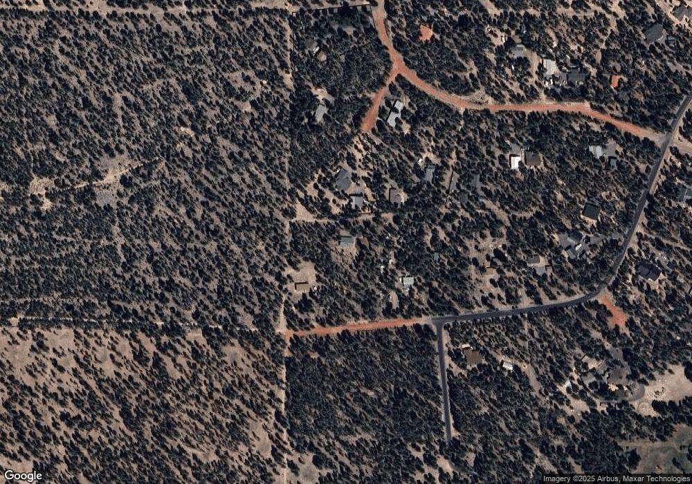
Map
Nearby Homes
- 153206 Collar Dr
- 152113 Silver Spur Rd
- 1764 Lariat Ct
- 1758 Lariat
- 1870 Iron Wheel Ct
- 1716 Terret Rd
- 0 Tl 09900 Scabbard Ct Unit 4 220194298
- 0 Tl 09800 Scabbard Ct Unit 5 220194297
- 0 Tl 10300 Concho Ct Unit 5 220194299
- 0 Pannier Unit Lot 20 220204910
- 0 Pannier Unit Lot 19
- 0 Tl 10600 Concho Ct Unit 2 220194291
- 0 Tl 09700 Buggy Whip Ct Unit 6 220194296
- 1844 Pannier Ct
- 0 Tl 08700 Stirrup Dr Unit 16
- 0 Tl 09300 Buggy Whip Ct Unit 10 220194293
- 0 Stirrup Dr Unit Lot 20 220194510
- 0 Stirrup Dr Unit Lot 17 220194509
- 0 Stirrup Dr Unit Lot 15 220194508
- 0 Stirrup Dr Unit Lot 13 220194506
- 152906 Collar Dr
- 2716 Boone Cir
- 152918 Collar Dr
- 2710 Boone Cir
- 153024 Collar Dr
- 1700 Collar Rd
- 1500 Sina Ln
- 1600 Sina Ln
- 2706 Boone Cir
- 2705 Boone Cir
- 153030 Collar Dr
- 153216 Little River Loop
- 153025 Collar Dr
- 3900 Little River Loop
- 153036 Collar Dr
- 153338 Little River Loop
- 153212 Little River Loop
- 1200 Sina Ln
- 153144 Collar Dr
- 153333 Little River Loop