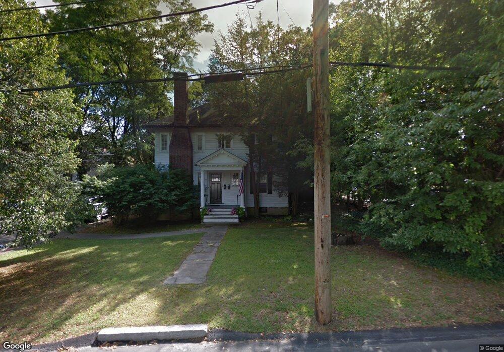
153 Aspen Ave Unit 155 Auburndale, MA 02466
Auburndale NeighborhoodEstimated Value: $1,421,000 - $2,073,142
5
Beds
2
Baths
2,922
Sq Ft
$610/Sq Ft
Est. Value
About This Home
This home is located at 153 Aspen Ave Unit 155, Auburndale, MA 02466 and is currently estimated at $1,783,036, approximately $610 per square foot. 153 Aspen Ave Unit 155 is a home located in Middlesex County with nearby schools including Williams Elementary School, Charles E Brown Middle School, and Newton South High School.
Ownership History
Date
Name
Owned For
Owner Type
Purchase Details
Closed on
Jul 3, 2008
Sold by
Earle Jacqueline M
Bought by
Int Jacqueline Earle and Earle-Coppola J
Current Estimated Value
Home Financials for this Owner
Home Financials are based on the most recent Mortgage that was taken out on this home.
Original Mortgage
$3,050,000
Outstanding Balance
$1,961,649
Interest Rate
6.01%
Mortgage Type
Purchase Money Mortgage
Estimated Equity
-$178,613
Create a Home Valuation Report for This Property
The Home Valuation Report is an in-depth analysis detailing your home's value as well as a comparison with similar homes in the area
Home Values in the Area
Average Home Value in this Area
Purchase History
| Date | Buyer | Sale Price | Title Company |
|---|---|---|---|
| Int Jacqueline Earle | -- | -- |
Source: Public Records
Mortgage History
| Date | Status | Borrower | Loan Amount |
|---|---|---|---|
| Open | Int Jacqueline Earle | $3,050,000 |
Source: Public Records
Tax History Compared to Growth
Tax History
| Year | Tax Paid | Tax Assessment Tax Assessment Total Assessment is a certain percentage of the fair market value that is determined by local assessors to be the total taxable value of land and additions on the property. | Land | Improvement |
|---|---|---|---|---|
| 2025 | $19,401 | $1,979,700 | $1,192,800 | $786,900 |
| 2024 | $18,759 | $1,922,000 | $1,158,100 | $763,900 |
| 2023 | $17,829 | $1,751,400 | $963,000 | $788,400 |
| 2022 | $17,060 | $1,621,700 | $891,700 | $730,000 |
| 2021 | $16,009 | $1,487,800 | $818,100 | $669,700 |
| 2020 | $15,533 | $1,487,800 | $818,100 | $669,700 |
| 2019 | $14,531 | $1,390,500 | $764,600 | $625,900 |
| 2018 | $14,454 | $1,335,900 | $717,500 | $618,400 |
| 2017 | $13,629 | $1,225,600 | $658,300 | $567,300 |
| 2016 | $12,796 | $1,124,400 | $603,900 | $520,500 |
| 2015 | $12,200 | $1,050,800 | $564,400 | $486,400 |
Source: Public Records
Map
Nearby Homes
- 1754 Washington St
- 283 Woodland Rd
- 1640 Commonwealth Ave
- 1639 Washington St
- 17 Lasell St
- 10 Lorraine Cir
- 17 Gilbert St
- 224 Auburn St Unit 224
- 224 Auburn St Unit A
- 51 Bourne St
- 226 Auburn St Unit 226
- 13 Weir St
- 33 Metacomet Rd
- 27 Oakwood Rd
- 2084 Washington St
- 10 Ruane Rd
- 0 Duncan Rd Unit 72925240
- 62-64 Rowe St Unit B
- 1801 Beacon St
- 283 Melrose St
- 147 Aspen Ave
- 165 Aspen Ave
- 1819 Washington St
- 160 Aspen Ave
- 150 Aspen Ave
- 141 Aspen Ave
- 1831 Washington St
- 1801 Washington St
- 142 Aspen Ave
- 1839 Washington St
- 1839 Washington St Unit A
- 1820 Washington St
- 18 Mary Mount Rd
- 1828 Washington St
- 8 Mary Mount Rd
- 125 Aspen Ave
- 66 Forest Ave
- 66 Forest Ave
- 156 Day St
- 156 Day St Unit 2