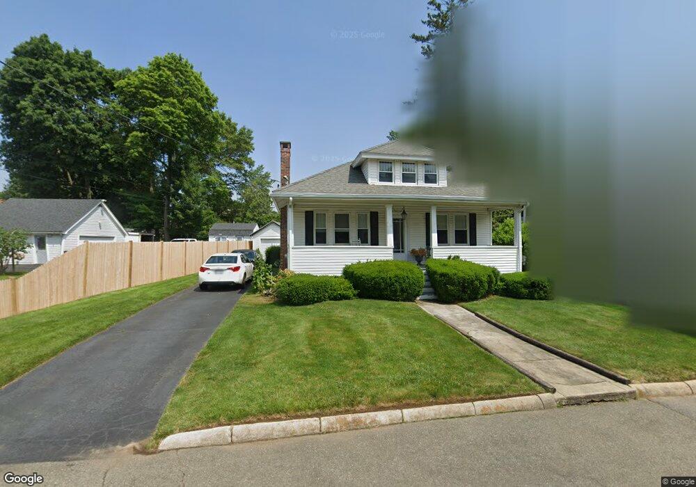
153 Brookside Ave Brockton, MA 02301
Campello NeighborhoodEstimated Value: $291,000 - $448,000
3
Beds
2
Baths
900
Sq Ft
$408/Sq Ft
Est. Value
About This Home
This home is located at 153 Brookside Ave, Brockton, MA 02301 and is currently estimated at $366,805, approximately $407 per square foot. 153 Brookside Ave is a home located in Plymouth County with nearby schools including John F. Kennedy Elementary School, Davis K-8 School, and South Middle School.
Ownership History
Date
Name
Owned For
Owner Type
Purchase Details
Closed on
Sep 12, 2025
Sold by
Roberts Ft and Roberts
Bought by
Natale Robbie
Current Estimated Value
Purchase Details
Closed on
Nov 13, 2013
Sold by
Roberts Nancy L
Bought by
Roberts Ft and Roberts
Create a Home Valuation Report for This Property
The Home Valuation Report is an in-depth analysis detailing your home's value as well as a comparison with similar homes in the area
Home Values in the Area
Average Home Value in this Area
Purchase History
| Date | Buyer | Sale Price | Title Company |
|---|---|---|---|
| Natale Robbie | $290,000 | -- | |
| Roberts Ft | -- | -- | |
| Roberts Ft | -- | -- |
Source: Public Records
Mortgage History
| Date | Status | Borrower | Loan Amount |
|---|---|---|---|
| Previous Owner | Roberts Ft | $120,000 | |
| Previous Owner | Roberts Ft | $120,000 | |
| Previous Owner | Roberts Ft | $40,000 |
Source: Public Records
Tax History Compared to Growth
Tax History
| Year | Tax Paid | Tax Assessment Tax Assessment Total Assessment is a certain percentage of the fair market value that is determined by local assessors to be the total taxable value of land and additions on the property. | Land | Improvement |
|---|---|---|---|---|
| 2025 | $4,441 | $366,700 | $139,100 | $227,600 |
| 2024 | $4,235 | $352,300 | $139,100 | $213,200 |
| 2023 | $4,065 | $313,200 | $103,500 | $209,700 |
| 2022 | $4,106 | $293,900 | $94,000 | $199,900 |
| 2021 | $3,744 | $258,200 | $77,900 | $180,300 |
| 2020 | $3,627 | $239,400 | $73,200 | $166,200 |
| 2019 | $3,413 | $219,600 | $71,300 | $148,300 |
| 2018 | $2,995 | $186,500 | $71,300 | $115,200 |
| 2017 | $2,867 | $178,100 | $71,300 | $106,800 |
| 2016 | $2,871 | $165,400 | $69,000 | $96,400 |
| 2015 | $2,543 | $140,100 | $69,000 | $71,100 |
| 2014 | $2,364 | $130,400 | $69,000 | $61,400 |
Source: Public Records
Map
Nearby Homes
- 47 Southworth St
- 35 Longworth Ave Unit 17
- 358 Copeland St
- 15 Longworth Ave Unit 231
- 115 Market St
- 13 Finny's Way
- 15 Fieldstone Dr
- 65 Tremont St
- 137 Channing Ave
- 223 Clinton St Unit 10
- 223 Clinton St Unit 3
- 163 S Leyden St
- 1 Fairway Dr
- 977 Warren Ave
- 176 Ettrick St
- 1036 Ash St
- 936 Warren Ave
- 56 Cottage Grove Ave
- 37 Menlo Ave
- 153 Bouve Ave
- 145 Brookside Ave
- 145 Brookside Ave Unit 1
- 157 Brookside Ave
- 46 Cushing Ave
- 141 Brookside Ave
- 156 Brookside Ave
- 54 Cushing Ave
- 150 Brookside Ave
- 42 Cushing Ave
- 146 Brookside Ave
- 56 Cushing Ave
- 137 Brookside Ave
- 186 Copeland St
- 36 Cushing Ave
- 182 Copeland St
- 160 Brookside Ave
- 192 Copeland St
- 180 Copeland St
- 32 Cushing Ave
- 131 Brookside Ave