153 Covered Bridge Rd Corinth, ME 04427
Estimated Value: $253,269 - $358,000
2
Beds
1
Bath
1,900
Sq Ft
$156/Sq Ft
Est. Value
About This Home
This home is located at 153 Covered Bridge Rd, Corinth, ME 04427 and is currently estimated at $296,817, approximately $156 per square foot. 153 Covered Bridge Rd is a home with nearby schools including Central Community Elementary School and Central High School.
Create a Home Valuation Report for This Property
The Home Valuation Report is an in-depth analysis detailing your home's value as well as a comparison with similar homes in the area
Home Values in the Area
Average Home Value in this Area
Tax History
| Year | Tax Paid | Tax Assessment Tax Assessment Total Assessment is a certain percentage of the fair market value that is determined by local assessors to be the total taxable value of land and additions on the property. | Land | Improvement |
|---|---|---|---|---|
| 2024 | $1,879 | $139,200 | $41,100 | $98,100 |
| 2023 | $1,817 | $136,100 | $39,900 | $96,200 |
| 2022 | $1,941 | $114,200 | $31,000 | $83,200 |
| 2021 | $1,941 | $114,200 | $31,000 | $83,200 |
| 2020 | $1,827 | $114,200 | $31,000 | $83,200 |
| 2019 | $1,725 | $109,880 | $29,250 | $80,630 |
| 2018 | $1,747 | $109,880 | $29,250 | $80,630 |
| 2017 | $1,758 | $109,880 | $29,250 | $80,630 |
| 2016 | $1,725 | $109,880 | $29,250 | $80,630 |
| 2015 | $1,615 | $109,880 | $29,250 | $80,630 |
| 2014 | $1,604 | $109,880 | $29,250 | $80,630 |
| 2013 | $1,527 | $109,880 | $29,250 | $80,630 |
Source: Public Records
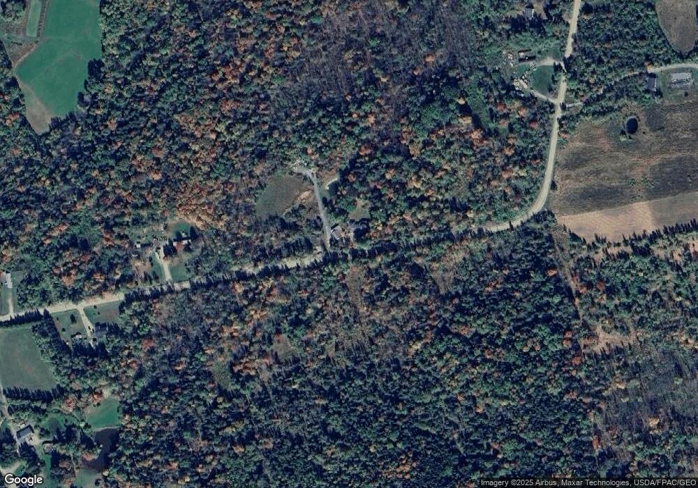
Map
Nearby Homes
- 728 Black Rd
- 748 Grant Rd
- 263 Mudgett Rd
- 503 Stetson Rd
- 40 Cookson
- 1156 Main St
- Lot 15-15 Brann Rd
- 34 Center St
- 32 Center St
- Lot 15-15 Stetson Rd E
- 189 Stetson Rd E
- 562 Ledge Hill Rd
- Lot 24-07 Tate Rd
- 5 Levant Heights Dr
- 67 Stacey Ln
- 9A Clark Rd
- 70 Clark Rd
- 4191 Union St
- Lot #7 Kenduskeag Levant Rd
- 510 Kenduskeag Levant Rd
- 211 Covered Bridge Rd
- 11 Fitz Ln
- 181 Covered Bridge Rd
- 183 Covered Bridge Rd
- 101 Covered Bridge Rd
- 93 Covered Bridge Rd
- 198 Covered Bridge Rd
- 85 Covered Bridge Rd
- 108 Covered Bridge Rd
- 84 Covered Bridge Rd
- 63 Covered Bridge Rd
- 0 Covered Bridge Rd
- 688 Black Rd
- 680 Black Rd
- 86 Covered Bridge Rd
- 706 Black Rd
- 35 Covered Bridge Rd
- 351 Mudgett Rd
- 335 Mudgett Rd
- 345 Mudgett Rd
Your Personal Tour Guide
Ask me questions while you tour the home.