153 Johnston Rd Choudrant, LA 71227
Estimated Value: $399,000 - $989,160
Studio
1
Bath
3,424
Sq Ft
$208/Sq Ft
Est. Value
About This Home
This home is located at 153 Johnston Rd, Choudrant, LA 71227 and is currently estimated at $711,720, approximately $207 per square foot. 153 Johnston Rd is a home located in Lincoln Parish with nearby schools including Choudrant Elementary School, Choudrant High School, and Ruston Junior High School.
Ownership History
Date
Name
Owned For
Owner Type
Purchase Details
Closed on
Sep 30, 2005
Sold by
Ginn Pipes Sherri
Bought by
Ayres Floyd Jason and Ayres Floyd Jennifer
Current Estimated Value
Home Financials for this Owner
Home Financials are based on the most recent Mortgage that was taken out on this home.
Original Mortgage
$324,000
Outstanding Balance
$168,067
Interest Rate
5.76%
Mortgage Type
New Conventional
Estimated Equity
$543,654
Create a Home Valuation Report for This Property
The Home Valuation Report is an in-depth analysis detailing your home's value as well as a comparison with similar homes in the area
Purchase History
| Date | Buyer | Sale Price | Title Company |
|---|---|---|---|
| Ayres Floyd Jason | $10,000 | None Available | |
| Ayres Floyd Jason | $405,000 | None Available |
Source: Public Records
Mortgage History
| Date | Status | Borrower | Loan Amount |
|---|---|---|---|
| Open | Ayres Floyd Jason | $324,000 | |
| Closed | Ayres Floyd Jason | $81,000 |
Source: Public Records
Tax History
| Year | Tax Paid | Tax Assessment Tax Assessment Total Assessment is a certain percentage of the fair market value that is determined by local assessors to be the total taxable value of land and additions on the property. | Land | Improvement |
|---|---|---|---|---|
| 2025 | $5,644 | $71,192 | $1,303 | $69,889 |
| 2024 | $5,644 | $71,192 | $1,303 | $69,889 |
| 2023 | $4,881 | $58,919 | $1,154 | $57,765 |
| 2022 | $4,848 | $58,919 | $1,154 | $57,765 |
| 2021 | $4,771 | $58,919 | $1,154 | $57,765 |
| 2020 | $3,027 | $37,552 | $1,154 | $36,398 |
| 2019 | $3,297 | $40,382 | $1,153 | $39,229 |
| 2018 | $3,299 | $40,382 | $1,153 | $39,229 |
| 2017 | $3,307 | $40,382 | $1,153 | $39,229 |
| 2016 | $3,375 | $0 | $0 | $0 |
| 2015 | $3,130 | $34,578 | $810 | $33,768 |
| 2013 | $3,049 | $33,166 | $823 | $32,343 |
Source: Public Records
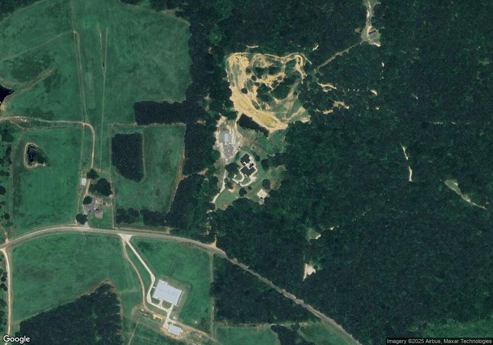
Map
Nearby Homes
- 490 New Hope Rd Unit 514 New Hope Rd., 00
- 0 Oak Tree Rd
- 120 Hill Creek Dr
- 120 Douglas Ln
- 6235 Highway 33
- 172 Sav Rd
- 1061 Whitehead Rd
- 448 Loblolly Ln
- 120 Lanes End Dr
- 201 Vintage Ln
- 1950 Louisiana 821
- 165 Loblolly Ln
- 0A Anderson Rd
- 0B Anderson Rd
- 0C Anderson Rd
- 0 Anderson Rd
- 525 Patterson Rd
- 190 Loring Bend
- 641 Goodgoin Rd
- 929 Highway 145
- 261 Indian Ln
- 275 Indian Ln
- 287 Roy Wade Rd
- 864 New Hope Rd
- 583 Roy Wade Rd
- 706 New Hope Rd
- 177 Roy Wade Rd
- 147 Roy Wade Rd
- 239 Roy Wade Rd
- 884 New Hope Rd
- 217 Roy Wade Rd
- 731 New Hope Rd
- 845 New Hope Rd
- 201 Roy Wade Rd
- 191 Roy Wade Rd
- 948 New Hope Rd
- 947 New Hope Rd
- 639 New Hope Rd
- 0 Par Road 502
- 1001 New Hope Rd
Your Personal Tour Guide
Ask me questions while you tour the home.