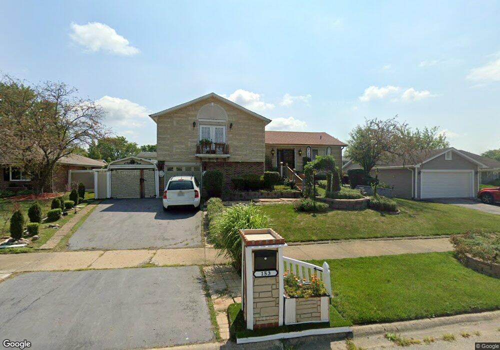
153 Pheasant Rd Matteson, IL 60443
West Matteson NeighborhoodEstimated Value: $212,823 - $241,000
3
Beds
2
Baths
1,295
Sq Ft
$173/Sq Ft
Est. Value
About This Home
This home is located at 153 Pheasant Rd, Matteson, IL 60443 and is currently estimated at $223,706, approximately $172 per square foot. 153 Pheasant Rd is a home located in Cook County with nearby schools including Colin Powell Middle School.
Ownership History
Date
Name
Owned For
Owner Type
Purchase Details
Closed on
Oct 8, 1998
Sold by
Owens Michael I
Bought by
Carroll Franzina C
Current Estimated Value
Home Financials for this Owner
Home Financials are based on the most recent Mortgage that was taken out on this home.
Original Mortgage
$84,880
Outstanding Balance
$17,219
Interest Rate
6.9%
Estimated Equity
$206,487
Create a Home Valuation Report for This Property
The Home Valuation Report is an in-depth analysis detailing your home's value as well as a comparison with similar homes in the area
Home Values in the Area
Average Home Value in this Area
Purchase History
| Date | Buyer | Sale Price | Title Company |
|---|---|---|---|
| Carroll Franzina C | $107,500 | -- |
Source: Public Records
Mortgage History
| Date | Status | Borrower | Loan Amount |
|---|---|---|---|
| Open | Carroll Franzina C | $84,880 |
Source: Public Records
Tax History
| Year | Tax Paid | Tax Assessment Tax Assessment Total Assessment is a certain percentage of the fair market value that is determined by local assessors to be the total taxable value of land and additions on the property. | Land | Improvement |
|---|---|---|---|---|
| 2025 | $5,660 | $16,971 | $1,637 | $15,334 |
| 2024 | $5,660 | $16,971 | $1,637 | $15,334 |
| 2023 | $3,277 | $16,971 | $1,637 | $15,334 |
| 2022 | $3,277 | $9,541 | $1,432 | $8,109 |
| 2021 | $4,620 | $11,880 | $1,432 | $10,448 |
| 2020 | $4,584 | $11,880 | $1,432 | $10,448 |
| 2019 | $4,633 | $11,909 | $1,329 | $10,580 |
| 2018 | $4,932 | $12,595 | $1,329 | $11,266 |
| 2017 | $4,827 | $12,595 | $1,329 | $11,266 |
| 2016 | $4,970 | $12,101 | $1,227 | $10,874 |
| 2015 | $4,816 | $12,101 | $1,227 | $10,874 |
| 2014 | $4,712 | $12,101 | $1,227 | $10,874 |
| 2013 | $4,347 | $12,079 | $1,227 | $10,852 |
Source: Public Records
Map
Nearby Homes
- 123 Oriole Rd
- 152 Oakhurst Rd
- 42 Pheasant Rd
- 25 Pheasant Rd
- 5911 Timberlane Rd
- 34 Wedgewood Rd
- 5943 Woodgate Dr
- 156 Cloverleaf Rd
- 5808 Allemong Dr
- 13 Oakview Rd
- 10 Wedgewood Rd
- 116 Cloverleaf Rd
- 5804 Kathryn Ln
- 5838 Woodgate Dr
- 433 Wheatfield Rd
- 6226 Beechwood Rd
- 443 Danielle Rd
- 5742 Woodgate Dr
- 6021 Spring Ln
- 6037 Spring Ln
- 147 Pheasant Rd
- 161 Pheasant Rd
- 203 Pheasant Rd
- 203 Pheasant Rd Unit 4
- 154 Pheasant Rd Unit 4
- 139 Pheasant Rd
- 158 Oriole Rd
- 150 Oriole Rd
- 148 Pheasant Rd
- 162 Pheasant Rd
- 200 Oriole Rd
- 144 Oriole Rd
- 144 Oriole Rd
- 140 Pheasant Rd
- 204 Pheasant Rd
- 209 Pheasant Rd
- 131 Pheasant Rd
- 206 Oriole Rd
- 136 Oriole Rd
- 132 Pheasant Rd
Your Personal Tour Guide
Ask me questions while you tour the home.