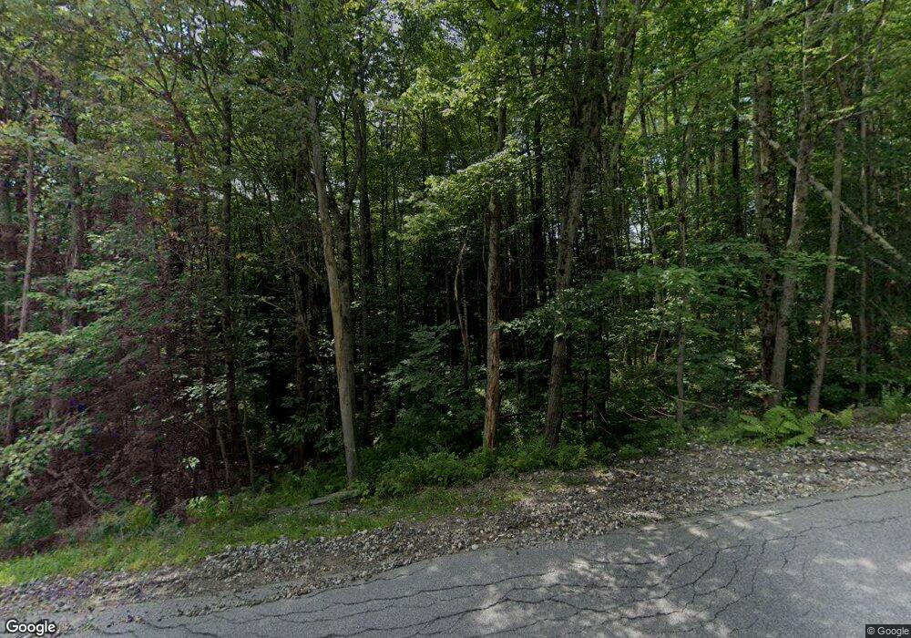
153 Trow Hill Rd Sunapee, NH 03782
Estimated Value: $680,000 - $799,500
4
Beds
3
Baths
2,764
Sq Ft
$267/Sq Ft
Est. Value
About This Home
This home is located at 153 Trow Hill Rd, Sunapee, NH 03782 and is currently estimated at $737,125, approximately $266 per square foot. 153 Trow Hill Rd is a home located in Sullivan County with nearby schools including Sunapee Central School, Sunapee Middle High School, and Sunapee Senior High School.
Ownership History
Date
Name
Owned For
Owner Type
Purchase Details
Closed on
Nov 19, 2024
Sold by
Jean K Molloy 2002 Ret and Molloy
Bought by
Didominic Dominic C and Didominic Katie L
Current Estimated Value
Home Financials for this Owner
Home Financials are based on the most recent Mortgage that was taken out on this home.
Original Mortgage
$645,000
Outstanding Balance
$638,579
Interest Rate
6.12%
Mortgage Type
Purchase Money Mortgage
Estimated Equity
$98,546
Purchase Details
Closed on
Sep 14, 2006
Sold by
Pollari Leonard A and Pollari Lisa A
Bought by
Jean Molloy T
Home Financials for this Owner
Home Financials are based on the most recent Mortgage that was taken out on this home.
Original Mortgage
$389,000
Interest Rate
6.71%
Mortgage Type
Purchase Money Mortgage
Create a Home Valuation Report for This Property
The Home Valuation Report is an in-depth analysis detailing your home's value as well as a comparison with similar homes in the area
Home Values in the Area
Average Home Value in this Area
Purchase History
| Date | Buyer | Sale Price | Title Company |
|---|---|---|---|
| Didominic Dominic C | $730,000 | None Available | |
| Didominic Dominic C | $730,000 | None Available | |
| Jean Molloy T | $486,700 | -- | |
| Jean Molloy T | $486,700 | -- |
Source: Public Records
Mortgage History
| Date | Status | Borrower | Loan Amount |
|---|---|---|---|
| Open | Didominic Dominic C | $645,000 | |
| Closed | Didominic Dominic C | $645,000 | |
| Previous Owner | Jean Molloy T | $389,000 |
Source: Public Records
Tax History Compared to Growth
Tax History
| Year | Tax Paid | Tax Assessment Tax Assessment Total Assessment is a certain percentage of the fair market value that is determined by local assessors to be the total taxable value of land and additions on the property. | Land | Improvement |
|---|---|---|---|---|
| 2024 | $4,147 | $414,300 | $123,100 | $291,200 |
| 2023 | $5,815 | $600,700 | $230,700 | $370,000 |
| 2022 | $5,796 | $414,300 | $123,100 | $291,200 |
| 2021 | $5,628 | $412,900 | $123,100 | $289,800 |
| 2020 | $5,715 | $412,900 | $123,100 | $289,800 |
| 2019 | $6,504 | $408,300 | $120,200 | $288,100 |
| 2018 | $6,230 | $408,300 | $120,200 | $288,100 |
| 2017 | $5,917 | $393,700 | $120,200 | $273,500 |
| 2016 | $5,917 | $393,700 | $120,200 | $273,500 |
| 2015 | $6,079 | $405,000 | $110,800 | $294,200 |
| 2014 | $6,148 | $405,000 | $110,800 | $294,200 |
| 2013 | $5,921 | $405,000 | $110,800 | $294,200 |
Source: Public Records
Map
Nearby Homes
- 138 Trow Hill Rd
- 57 Sunny Ln
- Lot 39 Sunny Ln
- 28 Northshore Rd
- 0 Northshore Rd
- 770 Jobs Creek Rd
- 242 Prospect Hill Rd
- 0 Prospect Hill Rd
- 1043 Main St
- 1024 Lake
- 1279 Route 11
- 8 Stoney Brook Rd
- 72 Marys Rd
- 118 North Rd
- 140 Hogg Hill Rd
- 55 High St
- 14 Lake Ave Unit 1
- 268 Springfield Rd
- 435 Messer Hill Rd
- 26 Otterville Rd
- 139 Trow Hill Rd
- 133 Trow Hill Rd
- 4 Fieldstone Dr
- 4 Fieldstone Dr Unit 4
- 131 Trow Hill Rd
- 125 Trow Hill Rd
- 0 Fieldstone Dr Unit 4629291
- 0 Fieldstone Dr Unit 4232592
- 2 Fieldstone Dr
- 3 Fieldstone Dr
- 5 Fieldstone Dr
- 7 Fieldstone Dr
- 6 Fieldstone Dr
- 8 Fieldstone Dr
- 11 Fieldstone Dr
- 10 Fieldstone Dr
- 6 Fieldstone Dr Unit 6
- 8 Fieldstone Dr Unit 8
- 7 Fieldstone Dr Unit 7
- 11 Fieldstone Dr Unit 11
