153 Wickham Rd East Haddam, CT 06423
Estimated Value: $311,000 - $827,000
4
Beds
2
Baths
2,720
Sq Ft
$214/Sq Ft
Est. Value
About This Home
This home is located at 153 Wickham Rd, East Haddam, CT 06423 and is currently estimated at $581,554, approximately $213 per square foot. 153 Wickham Rd is a home located in Middlesex County with nearby schools including East Haddam Elementary School, Nathan Hale-Ray Middle School, and Nathan Hale-Ray High School.
Ownership History
Date
Name
Owned For
Owner Type
Purchase Details
Closed on
May 2, 2023
Sold by
Clark Joseph
Bought by
Clark Joseph
Current Estimated Value
Purchase Details
Closed on
Oct 26, 1995
Sold by
Norton Priscilla W
Bought by
Clark Joseph
Home Financials for this Owner
Home Financials are based on the most recent Mortgage that was taken out on this home.
Original Mortgage
$70,000
Interest Rate
7.6%
Mortgage Type
Purchase Money Mortgage
Purchase Details
Closed on
Jul 19, 1990
Sold by
Furstenberg Karl M
Bought by
Montross Richard
Create a Home Valuation Report for This Property
The Home Valuation Report is an in-depth analysis detailing your home's value as well as a comparison with similar homes in the area
Home Values in the Area
Average Home Value in this Area
Purchase History
| Date | Buyer | Sale Price | Title Company |
|---|---|---|---|
| Clark Joseph | -- | None Available | |
| Clark Joseph | -- | None Available | |
| Clark Joseph | $80,000 | -- | |
| Montross Richard | $61,000 | -- |
Source: Public Records
Mortgage History
| Date | Status | Borrower | Loan Amount |
|---|---|---|---|
| Previous Owner | Montross Richard | $400,000 | |
| Previous Owner | Montross Richard | $70,000 |
Source: Public Records
Tax History Compared to Growth
Tax History
| Year | Tax Paid | Tax Assessment Tax Assessment Total Assessment is a certain percentage of the fair market value that is determined by local assessors to be the total taxable value of land and additions on the property. | Land | Improvement |
|---|---|---|---|---|
| 2025 | $11,791 | $420,190 | $98,750 | $321,440 |
| 2024 | $11,244 | $420,190 | $98,750 | $321,440 |
| 2023 | $10,712 | $415,990 | $94,550 | $321,440 |
| 2022 | $9,742 | $306,440 | $70,750 | $235,690 |
| 2021 | $9,328 | $306,440 | $70,750 | $235,690 |
| 2020 | $9,328 | $306,440 | $70,750 | $235,690 |
| 2019 | $9,328 | $306,440 | $70,750 | $235,690 |
| 2018 | $9,089 | $306,440 | $70,750 | $235,690 |
| 2017 | $9,540 | $322,530 | $80,890 | $241,640 |
| 2016 | $9,466 | $322,530 | $80,890 | $241,640 |
| 2015 | $9,250 | $322,530 | $80,890 | $241,640 |
| 2014 | $8,999 | $322,530 | $80,890 | $241,640 |
Source: Public Records
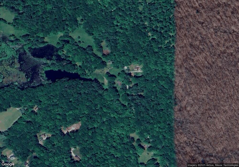
Map
Nearby Homes
- 23 Olmstead Rd
- 21 Olmstead Rd
- 112 Schulman Veslak Rd
- 114 Lakeside Dr
- 63 Schulman Veslak Rd
- 8 Tom Rd
- 0 Lakeside Dr
- 42 Dogwood Rd
- 206 Sheepskin Hollow Rd
- 331 Tater Hill Rd
- 53 Falls Bashan Rd
- 19 Esther Ln
- 317 Tater Hill Rd
- 73 Lake Shore Dr
- 154 Falls Rd
- 90 Lake Shore Dr
- 115 Lakeview Dr
- 597 Westchester Rd
- 145 Lakeview Dr
- Lot #2 Taylor Rd