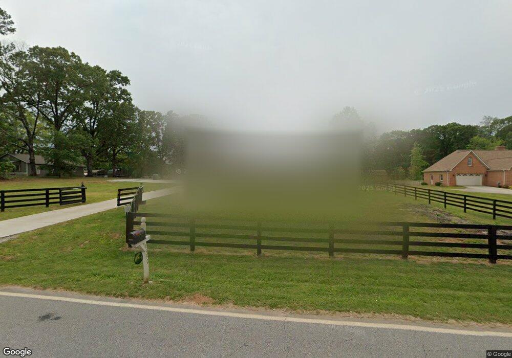
1530 Demorest-Mt Airy Hw Mount Airy, GA 30563
Estimated Value: $357,000 - $472,000
3
Beds
2
Baths
1,640
Sq Ft
$262/Sq Ft
Est. Value
About This Home
This home is located at 1530 Demorest-Mt Airy Hw, Mount Airy, GA 30563 and is currently estimated at $429,640, approximately $261 per square foot. 1530 Demorest-Mt Airy Hw is a home located in Habersham County with nearby schools including Cornelia Elementary School, Habersham Success Academy, and Wilbanks Middle School.
Ownership History
Date
Name
Owned For
Owner Type
Purchase Details
Closed on
Jan 28, 2022
Sold by
Brewster Donnie
Bought by
Williamson Timothy A
Current Estimated Value
Purchase Details
Closed on
Sep 17, 2019
Sold by
Lowery Debbie
Bought by
Lowery Debbie and Lowery Jeffrey
Purchase Details
Closed on
May 31, 2019
Sold by
Brewster Donnie
Bought by
Drewster Donnie
Purchase Details
Closed on
Feb 6, 2015
Sold by
Brewster Mildred
Bought by
Brewster Amos
Create a Home Valuation Report for This Property
The Home Valuation Report is an in-depth analysis detailing your home's value as well as a comparison with similar homes in the area
Home Values in the Area
Average Home Value in this Area
Purchase History
| Date | Buyer | Sale Price | Title Company |
|---|---|---|---|
| Williamson Timothy A | $350,000 | -- | |
| Brewster Donnie | -- | -- | |
| Lowery Debbie | -- | -- | |
| Drewster Donnie | -- | -- | |
| Lowery Debbie | -- | -- | |
| Brewster Amos | -- | -- |
Source: Public Records
Tax History Compared to Growth
Tax History
| Year | Tax Paid | Tax Assessment Tax Assessment Total Assessment is a certain percentage of the fair market value that is determined by local assessors to be the total taxable value of land and additions on the property. | Land | Improvement |
|---|---|---|---|---|
| 2025 | $3,419 | $155,881 | $15,960 | $139,921 |
| 2024 | -- | $159,084 | $9,936 | $149,148 |
| 2023 | $3,298 | $131,916 | $9,936 | $121,980 |
| 2022 | $1,917 | $73,524 | $8,832 | $64,692 |
| 2021 | $1,702 | $65,592 | $7,728 | $57,864 |
| 2020 | $1,162 | $43,208 | $7,728 | $35,480 |
| 2019 | $1,533 | $43,208 | $7,728 | $35,480 |
| 2018 | $1,386 | $51,880 | $16,400 | $35,480 |
| 2017 | $1,193 | $44,436 | $11,716 | $32,720 |
| 2016 | $1,159 | $111,090 | $11,716 | $32,720 |
| 2015 | $1,145 | $111,090 | $11,716 | $32,720 |
| 2014 | $386 | $109,750 | $11,716 | $32,184 |
| 2013 | -- | $43,900 | $11,716 | $32,184 |
Source: Public Records
Map
Nearby Homes
- 254 Oakdale Dr
- 221 Mcallister Rd
- 204 Linwood Dr
- 310 Wilson Rd
- 166 Towerview Cir
- 161 Wayward Winds Dr
- 820 Camp Creek Rd
- 421 Chase Cir
- 0 Blair Rd Unit 10343806
- 2894 Chase Rd
- 133 Hillandale St
- 4444 State Highway 365
- 0 Furniture Dr Unit 10484163
- 0 Furniture Dr Unit 7545752
- 199 Rocky Shoals Trail
- 240 Sugar Maple Dr
- 787 Ansley Rd
- 676 Sweetgrass Dr
- 680 Elrod St
- 417 Sweetgrass Dr
- 1530 Demorest Mount Airy Hwy
- 1530 Demorest Mount Airy Hwy
- 1564 Demorest Mount Airy Hwy
- 869 Old Camp Creek Rd
- 869 Old Camp Creek Rd SE
- 1529 Demorest Mount Airy Hwy
- 1468 Demorest Mount Airy Hwy
- 1468 Demorest Mount Airy Hwy
- 1491 Demorest Mount Airy Hwy
- 810 Old Camp Creek Rd
- 1623 Demorest Mount Airy Hwy
- 796 Old Camp Creek Rd
- 0 Fedora Dr Unit 7133351
- 0 Fedora Dr Unit 7109470
- 0 Fedora Dr
- 1660 Demorest Mount Airy Hwy
- 753 Old Camp Creek Rd
- 127 Plum Tree Ln
- 2113 Camp Creek Rd
- 350 Oakdale Dr